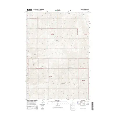
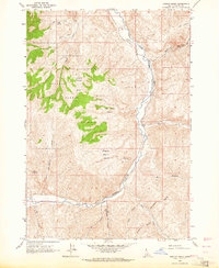
2013 Map of Bowery Peak
USGS Topo · Published 2013About this map
Bowery Peak and Sheep Mtn dominate the high-altitude topography of this central Idaho interior, where the boundaries of the Challis National Forest and Sawtooth National Forest converge. This 2013 survey provides a detailed look at the drainage systems of the Salmon River mountains, including the headwaters of Pine Cr, Taylor Cr, and Herd Cr. The landscape is defined by its dramatic elevation changes and a series of rugged canyons and gulches, such as Middle Canyon and Frisch Gulch. A notable piece of back-country infrastructure, the Sheep Bridge, appears near the southern reaches of the quadrangle. The map also delineates several land survey sections, identified as PB 37 through PB 45, which mark specific parcels within these vast federally managed forest lands.
Find a feature on this map
31 named features on this map. Tap any name to fly to it.
Don’t see what you’re looking for? This feature index may not catch every label — zoom into the map to look around manually.
Map Details
Editions of this 2013 Bowery Peak Map
This is the sole edition of this map. No revisions or reprints were ever made.
Other maps of this area
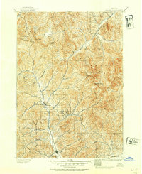
1895 · Hailey
USGS Topo · 1:125,000
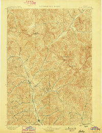
1897 · Hailey
USGS Topo · 1:125,000
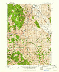
1929 · Bayhorse
USGS Topo · 1:125,000

1955 · Hailey
USGS Topo · 1:250,000

1957 · Challis
USGS Topo · 1:250,000

1959 · Hailey
USGS Topo · 1:250,000

1960 · Challis
USGS Topo · 1:250,000

1962 · Hailey
USGS Topo · 1:250,000

1963 · Challis
USGS Topo · 1:250,000
1963 · Ziegler Basin
USGS Topo · 1:24,000