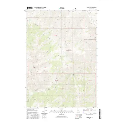
2017 Map of Bowery Peak
USGS Topo · Published 2017About this map
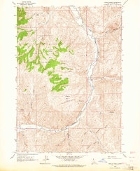
Bowery Peak and Sheep Mtn dominate this high-elevation interior of Custer County, where the boundaries of the Challis National Forest and Sawtooth National Forest meet. This terrain is defined by a complex drainage system, with McDonald Cr and Taylor Cr carving deep paths through the timbered slopes. The presence of the Sheep Bridge suggests established routes for moving livestock between seasonal grazing grounds in an area otherwise marked by remote gulches and canyons. Primitive corridors like the Pine-McDonald and Sage Brush tracks follow the natural contours of the land, providing access to the various forks of Herd Cr and East Pass Cr. This map captures the essential character of Idaho's protected wilderness, where the landscape remains largely defined by its original topographical features rather than human settlement.
Find a feature on this map
33 named features on this map. Tap any name to fly to it.
Don’t see what you’re looking for? This feature index may not catch every label — zoom into the map to look around manually.
Map Details
Editions of this 2017 Bowery Peak Map
This is the sole edition of this map. No revisions or reprints were ever made.
Other maps of this area
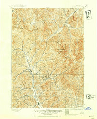
1895 · Hailey
USGS Topo · 1:125,000
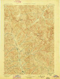
1897 · Hailey
USGS Topo · 1:125,000
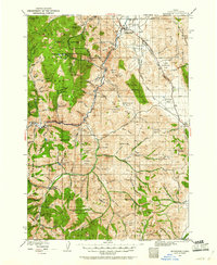
1929 · Bayhorse
USGS Topo · 1:125,000

1955 · Hailey
USGS Topo · 1:250,000

1957 · Challis
USGS Topo · 1:250,000

1959 · Hailey
USGS Topo · 1:250,000

1960 · Challis
USGS Topo · 1:250,000

1962 · Hailey
USGS Topo · 1:250,000

1963 · Challis
USGS Topo · 1:250,000
1963 · Ziegler Basin
USGS Topo · 1:24,000