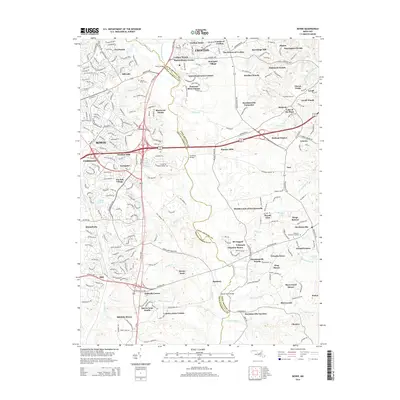
2014 Map of Bowie
USGS Topo · Published 2014About this map
The Patuxent River and Little Patuxent River form the natural and political boundary between Anne Arundel and Prince George's counties on this 2014 survey. This area is defined by a dense network of residential developments and historic crossings, including the notable Priest Bridge and Governor Bridge. Suburban growth is evident in the transition from established settlements like Crofton and Bowie to specialized enclaves such as Davidsonville Farmettes and The Greens of Crofton. Local history is anchored by the Sacred Heart Cem near the junction of Crain Hwy and Annapolis Rd. The landscape is etched with numerous small watercourses like White Marsh Br and Ropers Br, illustrating the intricate drainage patterns that defined regional land use before modern suburban expansion fully matured in the early 21st century.
Find a feature on this map
274 named features on this map. Tap any name to fly to it.
Don’t see what you’re looking for? This feature index may not catch every label — zoom into the map to look around manually.
Map Details
Editions of this 2014 Bowie Map
This is the sole edition of this map. No revisions or reprints were ever made.
Other maps of this area

1892 · Laurel
USGS Topo · 1:62,500

1892 · Owensville
USGS Topo · 1:62,500

1894 · Laurel
USGS Topo · 1:62,500

1894 · Relay
USGS Topo · 1:62,500

1895 · Owensville
USGS Topo · 1:62,500

1897 · Laurel
USGS Topo · 1:62,500

1899 · Patuxent
USGS Topo · 1:125,000

1900 · Washington
USGS Topo · 1:62,500

1905 · Owensville
USGS Topo · 1:62,500

1906 · Patuxent
USGS Topo · 1:125,000