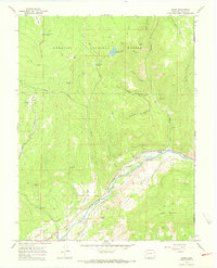
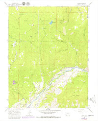
1965 Map of Bowie
USGS Topo · Published 1968About this map
The North Fork Gunnison River carves a path through this section of Delta County, where the industrial landscape of the mid-1960s meets the high country of the Gunnison National Forest. The settlement of Bowie and nearby Juanita Junction serve as focal points for local coal operations, connected to the wider world by the Denver and Rio Grande Western railroad. Heavy industry is etched into the terrain through the presence of the Bowie Mine, Farmers Mine, and Converse Mine, illustrating the vital role of resource extraction in this canyon environment.
Find a feature on this map
54 named features on this map. Tap any name to fly to it.
Don’t see what you’re looking for? This feature index may not catch every label — zoom into the map to look around manually.
Map Details
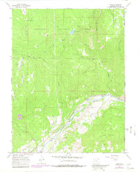
Editions of this 1965 Bowie Map
6 editions found
Other maps of this area

1938 · Mt. Gunnison
USGS Topo · 1:48,000

1945 · Mount Gunnison
USGS Topo · 1:62,500

1956 · Montrose
USGS Topo · 1:250,000

1957 · Leadville
USGS Topo · 1:250,000

1959 · Leadville
USGS Topo · 1:250,000

1959 · Montrose
USGS Topo · 1:250,000

1960 · Leadville
USGS Topo · 1:250,000

1960 · Montrose
USGS Topo · 1:250,000

1961 · Electric Mountain
USGS Topo · 1:24,000

1961 · Chalk Mountain
USGS Topo · 1:24,000