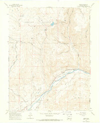
1965 Map of Bowie
USGS Topo · Published 1968About this map
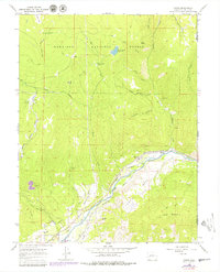
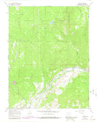
Bowie and the nearby Juanita Junction serve as the primary focal points of human activity in this 1965 survey, situated where industrial infrastructure meets the natural drainage of the Gunnison River. The landscape is defined by the sharp transition from the river valley to elevated plateaus like Lennox Mesa and Pitkin Mesa, which are crisscrossed by irrigation networks including the Stewart Ditch and Farmers Ditch.
Find a feature on this map
48 named features on this map. Tap any name to fly to it.
Don’t see what you’re looking for? This feature index may not catch every label — zoom into the map to look around manually.
Map Details
Editions of this 1965 Bowie Map
6 editions found
Other maps of this area

1938 · Mt. Gunnison
USGS Topo · 1:48,000

1945 · Mount Gunnison
USGS Topo · 1:62,500

1956 · Montrose
USGS Topo · 1:250,000

1957 · Leadville
USGS Topo · 1:250,000

1959 · Leadville
USGS Topo · 1:250,000

1959 · Montrose
USGS Topo · 1:250,000

1960 · Leadville
USGS Topo · 1:250,000

1960 · Montrose
USGS Topo · 1:250,000

1961 · Electric Mountain
USGS Topo · 1:24,000

1961 · Chalk Mountain
USGS Topo · 1:24,000