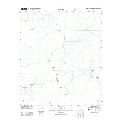
2012 Map of Bowie Mountain North
USGS Topo · Published 2012About this map
Apache Pass anchors this high-desert landscape, a site of significant historical transit through the northern reaches of the Dos Cabezas Mountains. The terrain is characterized by a network of drainage canyons and cattle ranching infrastructure, including Ninemile Ranch and Hyl Ranch. This 2012 survey illustrates the enduring agricultural and ranching patterns of Cochise County, with scattered water sources like Maggie Tank and Silverstrike Spring supporting local livestock operations in an arid environment.
Find a feature on this map
39 named features on this map. Tap any name to fly to it.
Don’t see what you’re looking for? This feature index may not catch every label — zoom into the map to look around manually.
Map Details
Editions of this 2012 Bowie Mountain North Map
This is the sole edition of this map. No revisions or reprints were ever made.
Other maps of this area
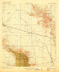
1917 · San Simon
USGS Topo · 1:125,000
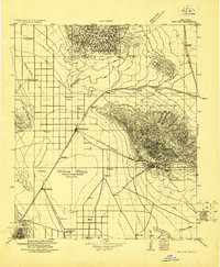
1922 · Willcox
USGS Topo · 1:125,000
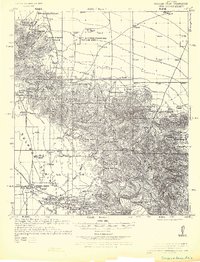
1926 · Cochise Head
USGS Topo · 1:62,500
1928 · Bowie
USGS Topo · 1:62,500
1943 · Dos Cabezas
USGS Topo · 1:62,500
1944 · Fisher Hills
USGS Topo · 1:62,500
1949 · Bowie
USGS Topo · 1:62,500
1950 · Bowie
USGS Topo · 1:62,500
1950 · Cochise Head
USGS Topo · 1:62,500

1954 · Silver City
USGS Topo · 1:250,000