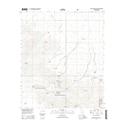
2014 Map of Bowie Mountain North
USGS Topo · Published 2014About this map
Fort Bowie National Historic Site anchors this map, marking the vital geography of the mountain corridor where the Dos Cabezas Mountains meet the Chiricahua Mountains. This area was a critical transit point in the nineteenth century, defined by the narrow Apache Pass and the life-sustaining Apache Spring. The land is deeply etched by drainage systems like Siphon Canyon and Willow Gulch Canyon, which carve through the high-elevation terrain near Overlook Ridge and Tevis Rocks. This survey reflects the modern management of these preserved lands, showing the intersection of historical military and mail routes with the protected boundaries of the Coronado National Forest. To the south, prominent summits such as Helens Dome and Bowie Mountain overlook a landscape of deep canyons and seasonal water sources like Pass Tank and Red Tank, illustrating the challenging environment faced by early travelers and settlers in the Arizona Territory.
Find a feature on this map
43 named features on this map. Tap any name to fly to it.
Don’t see what you’re looking for? This feature index may not catch every label — zoom into the map to look around manually.
Map Details
Editions of this 2014 Bowie Mountain North Map
This is the sole edition of this map. No revisions or reprints were ever made.
Other maps of this area
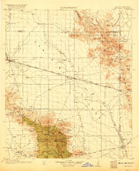
1917 · San Simon
USGS Topo · 1:125,000
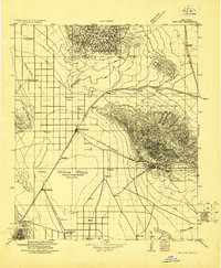
1922 · Willcox
USGS Topo · 1:125,000
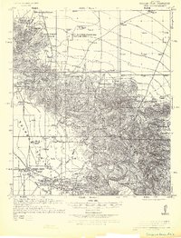
1926 · Cochise Head
USGS Topo · 1:62,500
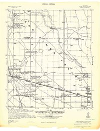
1928 · Bowie
USGS Topo · 1:62,500
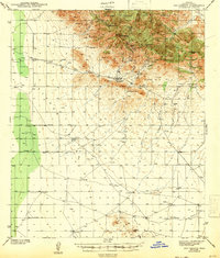
1943 · Dos Cabezas
USGS Topo · 1:62,500
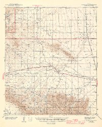
1944 · Fisher Hills
USGS Topo · 1:62,500
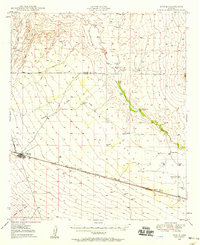
1949 · Bowie
USGS Topo · 1:62,500
1950 · Bowie
USGS Topo · 1:62,500
1950 · Cochise Head
USGS Topo · 1:62,500

1954 · Silver City
USGS Topo · 1:250,000