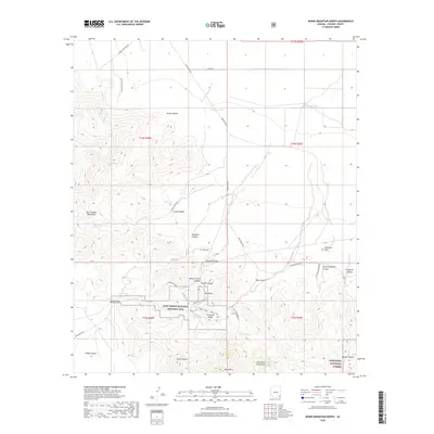
2018 Map of Bowie Mountain North
USGS Topo · Published 2018About this map
Fort Bowie National Historic Site anchors this map, marking the crossroads of movement through the Dos Cabezas Mountains and Chiricahua Mountains. This rugged pass was a critical bottleneck for western travel, evidenced by the presence of the Butterfield Trail and Apache Pass, where water sources like Apache Spring and Goodwin Spring dictated the routes of early pioneers and military expeditions. The terrain is deeply cut by numerous drainages, including Siphon Canyon and Long Canyon, which converge toward the high desert flats to the north.
Find a feature on this map
49 named features on this map. Tap any name to fly to it.
Don’t see what you’re looking for? This feature index may not catch every label — zoom into the map to look around manually.
Map Details
Editions of this 2018 Bowie Mountain North Map
This is the sole edition of this map. No revisions or reprints were ever made.
Other maps of this area
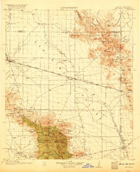
1917 · San Simon
USGS Topo · 1:125,000
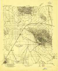
1922 · Willcox
USGS Topo · 1:125,000
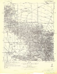
1926 · Cochise Head
USGS Topo · 1:62,500
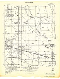
1928 · Bowie
USGS Topo · 1:62,500
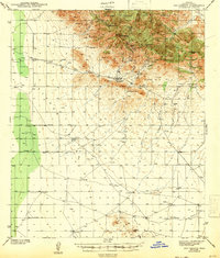
1943 · Dos Cabezas
USGS Topo · 1:62,500
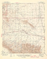
1944 · Fisher Hills
USGS Topo · 1:62,500
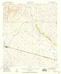
1949 · Bowie
USGS Topo · 1:62,500
1950 · Bowie
USGS Topo · 1:62,500
1950 · Cochise Head
USGS Topo · 1:62,500

1954 · Silver City
USGS Topo · 1:250,000