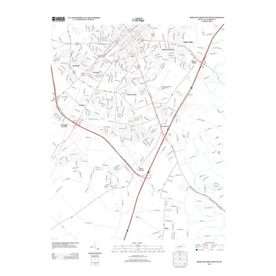
2013 Map of Bowling Green South
USGS Topo · Published 2013About this map
Memphis Junction and the surrounding neighborhoods of southern Bowling Green represent a modern suburban and industrial landscape as documented in the early twenty-first century. The area is defined by the convergence of major transportation corridors and the natural winding paths of Jennings Cr and the Barren River. Residential developments like Briarwood Manor, Indian Hills, and Crestmoor fill the gaps between commercial hubs, while the Bowling Green-Warren County Regional Airport occupies a significant portion of the eastern landscape. Local topography is punctuated by Reservoir Hill, overlooking a dense network of roads such as Old Morgantown Rd and Robin Rd. Further south, the map transitions into less dense areas like Three Springs and Plano, where the terrain is marked by Drakes Cr and the unique geography of the Lost River area.
Find a feature on this map
335 named features on this map. Tap any name to fly to it.
Don’t see what you’re looking for? This feature index may not catch every label — zoom into the map to look around manually.
Map Details
Editions of this 2013 Bowling Green South Map
This is the sole edition of this map. No revisions or reprints were ever made.
Other maps of this area

1914 · Little Muddy
USGS Topo · 1:62,500

1921 · Bowling Green
USGS Topo · 1:62,500

1922 · Brownsville
USGS Topo · 1:62,500

1923 · Bowling Green
USGS Topo · 1:62,500

1923 · Brownsville
USGS Topo · 1:62,500

1951 · Woodburn
USGS Topo · 1:24,000

1952 · Rockfield
USGS Topo · 1:24,000

1954 · Evansville
USGS Topo · 1:250,000

1954 · Bowling Green North
USGS Topo · 1:24,000

1954 · Drake
USGS Topo · 1:24,000