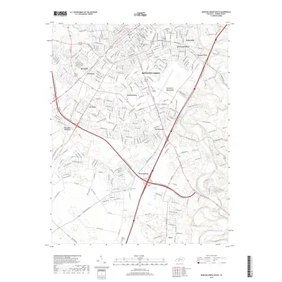
2019 Map of Bowling Green South
USGS Topo · Published 2019About this map
Bowling Green dominates this landscape, showing a dense network of residential expansion and early transportation hubs. The map detail highlights historical burial grounds such as Pioneer Cem and Saint Josephs Cem, alongside the prominent Reservoir Hill overlooking the city center. Transportation patterns are defined by the convergence of major corridors at Memphis Junction and the presence of the Bowling Green-Warren County Regional Airport.
Find a feature on this map
282 named features on this map. Tap any name to fly to it.
Don’t see what you’re looking for? This feature index may not catch every label — zoom into the map to look around manually.
Map Details
Editions of this 2019 Bowling Green South Map
This is the sole edition of this map. No revisions or reprints were ever made.
Other maps of this area

1914 · Little Muddy
USGS Topo · 1:62,500

1921 · Bowling Green
USGS Topo · 1:62,500

1922 · Brownsville
USGS Topo · 1:62,500

1923 · Bowling Green
USGS Topo · 1:62,500

1923 · Brownsville
USGS Topo · 1:62,500

1951 · Woodburn
USGS Topo · 1:24,000

1952 · Rockfield
USGS Topo · 1:24,000

1954 · Evansville
USGS Topo · 1:250,000

1954 · Bowling Green North
USGS Topo · 1:24,000

1954 · Drake
USGS Topo · 1:24,000