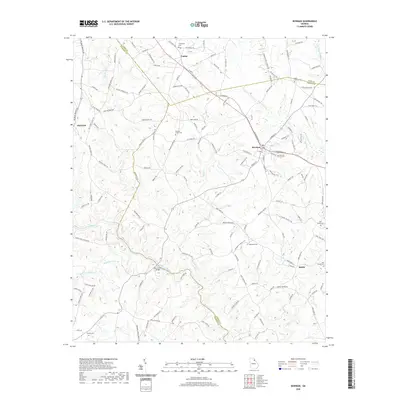
2020 Map of Bowman
USGS Topo · Published 2020About this map
Bowman serves as the primary hub of this North Georgia region, situated at the intersection of Hart, Elbert, and Madison counties. The town's layout is defined by its rail-aligned streets like E Railroad St and W Railroad St, reflecting a historic reliance on the line that bisects the community. To the north, the smaller settlement of Vanna sits near the county line, while the southern landscape is dominated by the winding course of the Broad River. The river's significance to local transit is marked by the New Lattice Bridge, a notable crossing point for modern travelers. Genealogists will find this area particularly rich in documented burial sites, ranging from the central Bowman City Cem to outlying rural grounds such as Fellowship Cem, Holly Springs Cem, and Rehoboth Cem. Numerous tributaries, including Mill Shoal Cr and Beaverdam Cr, drain the undulating terrain between these early agricultural communities.
Find a feature on this map
145 named features on this map. Tap any name to fly to it.
Don’t see what you’re looking for? This feature index may not catch every label — zoom into the map to look around manually.
Map Details
Editions of this 2020 Bowman Map
This is the sole edition of this map. No revisions or reprints were ever made.
Other maps of this area

1891 · Carnesville
USGS Topo · 1:125,000

1893 · Elberton
USGS Topo · 1:125,000

1954 · Greenville
USGS Topo · 1:250,000

1958 · Greenville
USGS Topo · 1:250,000

1958 · Danielsville
USGS Topo · 1:62,500

1958 · Elberton
USGS Topo · 1:62,500

1959 · Carnesville
USGS Topo · 1:24,000

1959 · Royston
USGS Topo · 1:24,000

1959 · Hartwell
USGS Topo · 1:24,000
1972 · Danielsville South
USGS Topo · 1:24,000