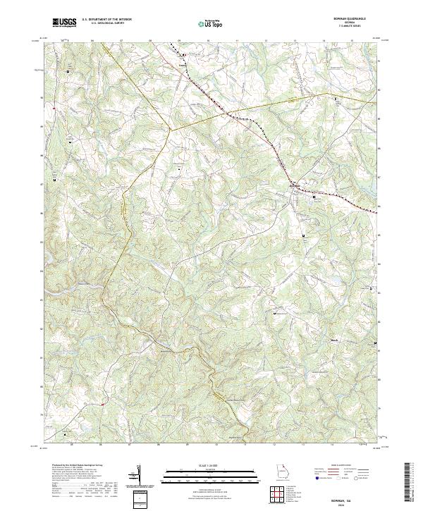
2024 Map of Bowman
USGS Topo · Published 2024About this map
The Broad River serves as the prominent physical and historical dividing line between Elbert and Madison counties, a landscape defined by the remnants of old river crossings and rural settlements. Modern transit through Bowman and Vanna follows historical corridors, yet the map preserves the locations of several traditional river access points such as Moore Ferry, Charles Moons Ferry, Wilson Ferry, and Peytons Ferry. These sites indicate the essential role the river once played in connecting these rural farming communities.
Find a feature on this map
170 named features on this map. Tap any name to fly to it.
Don’t see what you’re looking for? This feature index may not catch every label — zoom into the map to look around manually.
Map Details
Editions of this 2024 Bowman Map
This is the sole edition of this map. No revisions or reprints were ever made.
Other maps of this area

1891 · Carnesville
USGS Topo · 1:125,000

1893 · Elberton
USGS Topo · 1:125,000

1954 · Greenville
USGS Topo · 1:250,000

1958 · Greenville
USGS Topo · 1:250,000

1958 · Danielsville
USGS Topo · 1:62,500

1958 · Elberton
USGS Topo · 1:62,500

1959 · Carnesville
USGS Topo · 1:24,000

1959 · Royston
USGS Topo · 1:24,000

1959 · Hartwell
USGS Topo · 1:24,000
1972 · Danielsville South
USGS Topo · 1:24,000