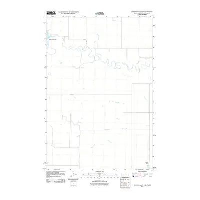
2011 Map of Bowman-Haley Dam
USGS Topo · Published 2011About this map
Bowman-Haley Lake and its impoundment, the Bowman-Haley Dam, dominate the northwest corner of this prairie landscape where the North Dakota and South Dakota borders meet. The geography is defined by the winding course of the North Fork Grand River and its tributary Wilson Creek, which cuts through the grasslands toward the southeast. For local historians and genealogists, the Haley Cemetery stands as a primary point of interest near the river's path, while the township roads, including Nessey Twp Rd and Lanesboro Rd, follow the grid of the surrounding agricultural sections. To the south, a smaller water management system is visible at Vessey Lake and its corresponding Vessey Dam. This survey illustrates the water-infrastructure-dependent nature of life along the Stateline Rd during the early 21st century.
Find a feature on this map
13 named features on this map. Tap any name to fly to it.
Don’t see what you’re looking for? This feature index may not catch every label — zoom into the map to look around manually.
Map Details
Editions of this 2011 Bowman-Haley Dam Map
This is the sole edition of this map. No revisions or reprints were ever made.
Other maps of this area

1935 · Reva
USGS Topo · 1:125,000

1953 · Dickinson
USGS Topo · 1:250,000

1954 · Lemmon
USGS Topo · 1:250,000

1957 · Dickinson
USGS Topo · 1:250,000

1957 · Lemmon
USGS Topo · 1:250,000

1968 · Ralph SW
USGS Topo · 1:24,000

1968 · Haley
USGS Topo · 1:24,000

1968 · Bowman-Haley Dam
USGS Topo · 1:24,000

1968 · Tepee Buttes
USGS Topo · 1:24,000

1968 · Ludlow SE
USGS Topo · 1:24,000