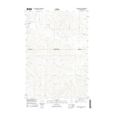
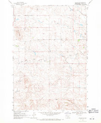
2014 Map of Bowman-Haley Dam
USGS Topo · Published 2014About this map
The North Fork Grand River meanders across the border of North Dakota and South Dakota, where the Bowman-Haley Dam contains the waters of Bowman-Haley Lake. This map documents a sparsely populated ranching landscape where the local geography is defined by small watercourses like Wilson Cr and the secluded Vessey Lake near the southern edge of the survey. The grid of rural roads, including Stateline Rd and Vessey Loop, provides access to the high plains terrain straddling the line between Bowman and Harding counties. Genealogists may find interest in the Haley Cem, a lonely landmark situated on the northern side of the river before it bends through the rugged drainage system of the basin.
Find a feature on this map
17 named features on this map. Tap any name to fly to it.
Don’t see what you’re looking for? This feature index may not catch every label — zoom into the map to look around manually.
Map Details
Editions of this 2014 Bowman-Haley Dam Map
This is the sole edition of this map. No revisions or reprints were ever made.
Other maps of this area
1935 · Reva
USGS Topo · 1:125,000
1953 · Dickinson
USGS Topo · 1:250,000

1954 · Lemmon
USGS Topo · 1:250,000
1957 · Dickinson
USGS Topo · 1:250,000

1957 · Lemmon
USGS Topo · 1:250,000
1968 · Ralph SW
USGS Topo · 1:24,000
1968 · Haley
USGS Topo · 1:24,000
1968 · Bowman-Haley Dam
USGS Topo · 1:24,000
1968 · Tepee Buttes
USGS Topo · 1:24,000
1968 · Ludlow SE
USGS Topo · 1:24,000