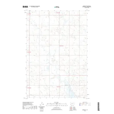
2020 Map of Bowman SE
USGS Topo · Published 2020About this map
Spring Creek and Stage Creek wind through the dissected plateau of Bowman County in this recent topographical survey. The drainage network is particularly dense here, with Cold Turkey Cr and Alkali Cr cutting across the southwestern sections of the township. This map captures a landscape defined by its hydrography and a systematic grid of section lines, reflecting the enduring legacy of the Public Land Survey System in North Dakota. Grounded by the presence of Bowman Haley Rd, the map illustrates a sparsely populated region where infrastructure is limited to essential connectors like 97th St SW. The terrain's character is shaped by these watercourses, which are the primary landmarks in an otherwise open, undulating expanse of prairie and ranch land.
Find a feature on this map
16 named features on this map. Tap any name to fly to it.
Don’t see what you’re looking for? This feature index may not catch every label — zoom into the map to look around manually.
Map Details
Editions of this 2020 Bowman SE Map
This is the sole edition of this map. No revisions or reprints were ever made.
Other maps of this area

1935 · Reva
USGS Topo · 1:125,000

1953 · Dickinson
USGS Topo · 1:250,000

1954 · Lemmon
USGS Topo · 1:250,000

1957 · Dickinson
USGS Topo · 1:250,000

1957 · Lemmon
USGS Topo · 1:250,000

1968 · Bowman SW
USGS Topo · 1:24,000

1968 · Bowman
USGS Topo · 1:24,000

1968 · Eagles Nest Butte
USGS Topo · 1:24,000

1968 · Bowman-Haley Dam
USGS Topo · 1:24,000

1968 · Tepee Buttes
USGS Topo · 1:24,000