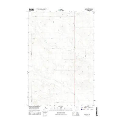
2014 Map of Bowman SW
USGS Topo · Published 2014About this map
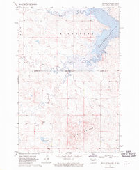
Cold Turkey Cr and Alkali Cr define the drainage of this southwestern North Dakota landscape, where the terrain is marked by the systematic grid of the Public Land Survey System. In the early 21st century, this area of Bowman County remains characterized by large-scale agricultural and ranching operations, evidenced by the extensive network of rural section roads like 150th Ave SW and 98th St SW. The hydrology of the region is punctuated by seasonal watercourses and small prairie potholes, with Spring Cr flowing across the northern reaches. This 2014 survey by the U.S. Geological Survey provides a precise view of the topography and land management patterns of the High Plains, where the infrastructure is largely dedicated to providing access to open range and fields.
Find a feature on this map
16 named features on this map. Tap any name to fly to it.
Don’t see what you’re looking for? This feature index may not catch every label — zoom into the map to look around manually.
Map Details
Editions of this 2014 Bowman SW Map
This is the sole edition of this map. No revisions or reprints were ever made.
Other maps of this area
1935 · Reva
USGS Topo · 1:125,000
1935 · Buffalo
USGS Topo · 1:125,000
1953 · Dickinson
USGS Topo · 1:250,000

1954 · Lemmon
USGS Topo · 1:250,000
1957 · Dickinson
USGS Topo · 1:250,000

1957 · Lemmon
USGS Topo · 1:250,000
1968 · Bowman SW
USGS Topo · 1:24,000
1968 · Bowman
USGS Topo · 1:24,000
1968 · Eagles Nest Butte
USGS Topo · 1:24,000
1968 · Tepee Buttes
USGS Topo · 1:24,000