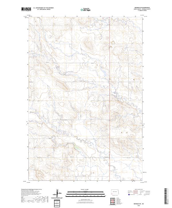
2024 Map of Bowman SW
USGS Topo · Published 2024About this map
Cold Turkey Creek and Alkali Creek drain this landscape in southwest North Dakota, carving subtle paths through the high plains. The area is defined by a sparse but regular grid of section lines and rural thoroughfares, reflecting the systematic land survey patterns typical of the region. Local travel is facilitated by corridors such as Amor Rd in the north and Lewton Rd in the south, while 146th Ave Sw serves as a primary north-south axis. This map illustrates the intersection of several townships including t130n r102w and t129n r102w. The landscape is largely undeveloped, with no major settlements, showcasing the open prairie and the drainage network that supports the surrounding agricultural and ranching environment.
Find a feature on this map
15 named features on this map. Tap any name to fly to it.
Don’t see what you’re looking for? This feature index may not catch every label — zoom into the map to look around manually.
Map Details
Editions of this 2024 Bowman SW Map
This is the sole edition of this map. No revisions or reprints were ever made.
Other maps of this area

1935 · Reva
USGS Topo · 1:125,000

1935 · Buffalo
USGS Topo · 1:125,000

1953 · Dickinson
USGS Topo · 1:250,000

1954 · Lemmon
USGS Topo · 1:250,000

1957 · Dickinson
USGS Topo · 1:250,000

1957 · Lemmon
USGS Topo · 1:250,000

1968 · Bowman SW
USGS Topo · 1:24,000

1968 · Bowman
USGS Topo · 1:24,000

1968 · Eagles Nest Butte
USGS Topo · 1:24,000

1968 · Tepee Buttes
USGS Topo · 1:24,000