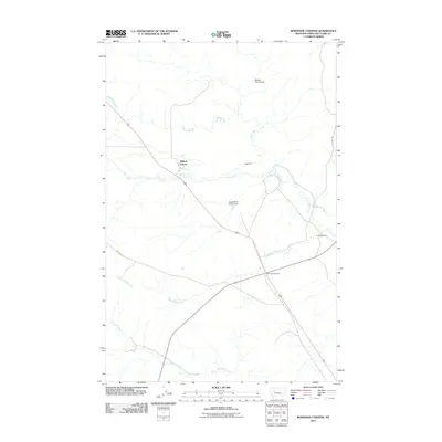
2011 Map of Bowmans Corners
USGS Topo · Published 2011About this map
Milford Colony sits as a primary anchor in this high-plains landscape of Lewis and Clark County, where agricultural water management is central to the local economy. The map reveals an intricate network of irrigation and water storage, notably featuring the Milford Colony Dam, the Flat Milford Colony Dam, and the L Evans Dam along Flat Creek. These structures, combined with the Hogan Ditch, illustrate the persistent efforts to redirect the waters of Hogan Creek and Black Rock Creek for ranching and farming needs. This 2011 survey captures the area at Bowmans Corners, showing how modern arterial roads like Skyline Rd and Black Rock Rd bisect the open terrain, connecting these localized water-dependent settlements to the broader Montana prairie.
Find a feature on this map
12 named features on this map. Tap any name to fly to it.
Don’t see what you’re looking for? This feature index may not catch every label — zoom into the map to look around manually.
Map Details
Editions of this 2011 Bowmans Corners Map
This is the sole edition of this map. No revisions or reprints were ever made.
Other maps of this area

1943 · Hogan
USGS Topo · 1:125,000

1955 · Choteau
USGS Topo · 1:250,000

1957 · Choteau
USGS Topo · 1:250,000

1958 · Choteau
USGS Topo · 1:250,000
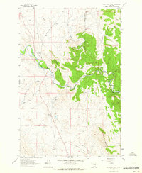
1961 · Coburn Mountain
USGS Topo · 1:24,000
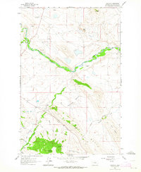
1961 · Comb Rock
USGS Topo · 1:24,000

1962 · Choteau
USGS Topo · 1:250,000
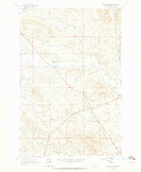
1962 · Bowmans Corners
USGS Topo · 1:24,000
1962 · Johnson Mountain
USGS Topo · 1:24,000
1963 · Bowmans Corners NW
USGS Topo · 1:24,000