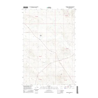
2017 Map of Bowmans Corners
USGS Topo · Published 2017About this map
Milford Colony sits at the heart of this landscape in Lewis and Clark County, where the plains meet the rising foothills of the Rocky Mountains. The area's agricultural and ranching heritage is clearly defined by a network of drainage systems and irrigation infrastructure, including the Hogan Ditch which diverts water from Hogan Cr. The topography is shaped by numerous seasonal and perennial watercourses, such as Flat Cr, Black Rock Cr, and Auchard Cr, which carve through the terrain toward the east.
Find a feature on this map
17 named features on this map. Tap any name to fly to it.
Don’t see what you’re looking for? This feature index may not catch every label — zoom into the map to look around manually.
Map Details
Editions of this 2017 Bowmans Corners Map
This is the sole edition of this map. No revisions or reprints were ever made.
Other maps of this area

1943 · Hogan
USGS Topo · 1:125,000

1955 · Choteau
USGS Topo · 1:250,000

1957 · Choteau
USGS Topo · 1:250,000

1958 · Choteau
USGS Topo · 1:250,000
1961 · Coburn Mountain
USGS Topo · 1:24,000
1961 · Comb Rock
USGS Topo · 1:24,000

1962 · Choteau
USGS Topo · 1:250,000
1962 · Bowmans Corners
USGS Topo · 1:24,000
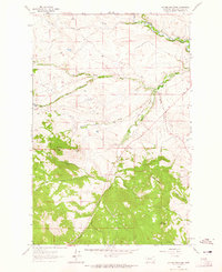
1962 · Johnson Mountain
USGS Topo · 1:24,000
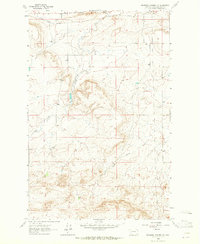
1963 · Bowmans Corners NW
USGS Topo · 1:24,000