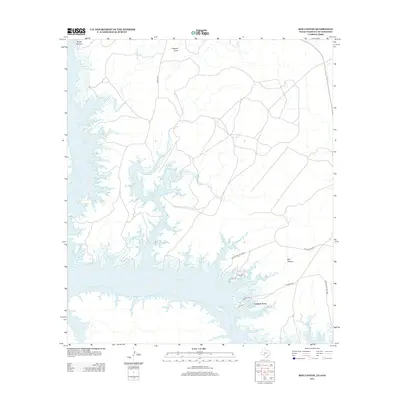
2013 Map of Box Canyon
USGS Topo · Published 2013About this map
Amistad Reservoir dominates the landscape in this 2013 survey, its sprawling blue fingers reaching into the limestone drainage systems of the Rio Grande basin. The small settlement of Amistad Acres sits perched on the southern banks of the reservoir, served by local roads like Rio Loop and Amistad Blvd. The map highlights the complex relationship between the fluctuating water levels and the rugged topography, where features like Box Canyon and Rough Canyon define the shoreline within the Amistad Ntl Rec Area. In the north, dry drainage patterns such as Chapote Draw and the intermittent flow of Cow Cr and Live Oak Cr suggest the arid environment that frames this massive water project. Submerged features like Goodenough Springs remind us of the landscape that existed before the damming of the river transformed these canyons into a primary recreational and water management hub.
Find a feature on this map
16 named features on this map. Tap any name to fly to it.
Don’t see what you’re looking for? This feature index may not catch every label — zoom into the map to look around manually.
Map Details
Editions of this 2013 Box Canyon Map
This is the sole edition of this map. No revisions or reprints were ever made.
Other maps of this area
1941 · Feely
USGS Topo · 1:62,500
1943 · Devils River
USGS Topo · 1:62,500
1944 · Devils River
USGS Topo · 1:62,500
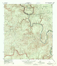
1944 · Mouth Of Pecos
USGS Topo · 1:62,500
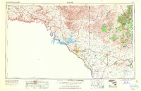
1958 · Del Rio
USGS Topo · 1:250,000
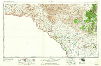
1964 · Del Rio
USGS Topo · 1:250,000
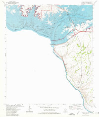
1972 · Amistad Dam
USGS Topo · 1:24,000
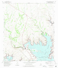
1972 · California Creek
USGS Topo · 1:24,000
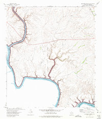
1972 · Seminole Canyon
USGS Topo · 1:24,000
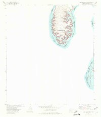
1972 · Zuberbueler Bend
USGS Topo · 1:24,000