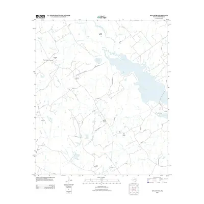
2013 Map of Box Church
USGS Topo · Published 2013About this map
The Navasota River and its meandering tributaries dominate this pocket of Limestone County, where the landscape is defined by the expansive Lake Limestone and a network of smaller named water bodies like Rush Lake and Jim Wright Lake. This 2013 survey illustrates a quiet rural region anchored by the small settlements of Box Church and Old Union. The map provides significant value for genealogists and local historians, meticulously plotting several family and community burial grounds including Hogan Cem, Hughes and Hyden Cem, and Potter Shop Cem.
Find a feature on this map
72 named features on this map. Tap any name to fly to it.
Don’t see what you’re looking for? This feature index may not catch every label — zoom into the map to look around manually.
Map Details
Editions of this 2013 Box Church Map
This is the sole edition of this map. No revisions or reprints were ever made.
Other maps of this area
1920 · Mexia
USGS Topo · 1:62,500
1954 · Waco
USGS Topo · 1:250,000
1955 · Waco
USGS Topo · 1:250,000
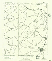
1957 · Groesbeck
USGS Topo · 1:62,500
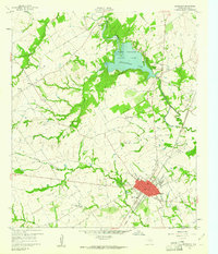
1960 · Groesbeck
USGS Topo · 1:24,000
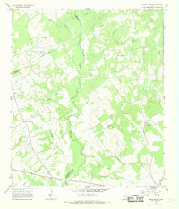
1966 · Round Prairie
USGS Topo · 1:24,000
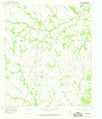
1966 · Thornton
USGS Topo · 1:24,000
1966 · Teague South
USGS Topo · 1:24,000
1966 · Box Church
USGS Topo · 1:24,000
1966 · Fallon
USGS Topo · 1:24,000