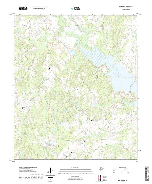
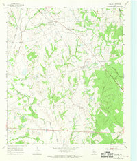
2022 Map of Box Church
USGS Topo · Published 2022About this map
The Navasota River and its Old Channel define this Limestone County landscape, where the waters broaden into Lake Limestone along the eastern edge of the quadrangle. This recent topographical study captures the rural character of the Old Union community, an area marked by a high density of small family and community burial grounds that offer significant value for genealogical research. Prominent features include the Potter Shop Cem, Hyden Hughes Cem, and Hogan Cem, which sit among the low hills of the Brazos River basin. The terrain is a network of creek drainages such as Montgomery Cr, Dooley Cr, and Blains Cr that feed into the river system. Industrial infrastructure is visible through the Mitchell Energy sites, while the presence of named landmarks like Andrews Hill and Cedar Mound provides continuity with older geographic records of the region.
Find a feature on this map
81 named features on this map. Tap any name to fly to it.
Don’t see what you’re looking for? This feature index may not catch every label — zoom into the map to look around manually.
Map Details
Editions of this 2022 Box Church Map
This is the sole edition of this map. No revisions or reprints were ever made.
Other maps of this area

1920 · Mexia
USGS Topo · 1:62,500

1954 · Waco
USGS Topo · 1:250,000

1955 · Waco
USGS Topo · 1:250,000

1957 · Groesbeck
USGS Topo · 1:62,500

1960 · Groesbeck
USGS Topo · 1:24,000
1966 · Round Prairie
USGS Topo · 1:24,000

1966 · Thornton
USGS Topo · 1:24,000
1966 · Teague South
USGS Topo · 1:24,000
1966 · Box Church
USGS Topo · 1:24,000
1966 · Fallon
USGS Topo · 1:24,000