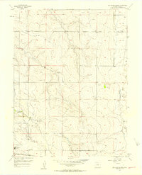
1957 Map of Box Elder School
USGS Topo · Published 1958About this map
Green Valley Ranch and its surrounding agricultural landscape are documented here during a period of transition in Adams County. The terrain is defined by a series of north-flowing drainages, including Third Creek, Second Creek, and First Creek, which carve through the plains. Local education and community life are anchored by the Box Elder Sch in the northeast and First Creek Sch to the south.
Find a feature on this map
16 named features on this map. Tap any name to fly to it.
Don’t see what you’re looking for? This feature index may not catch every label — zoom into the map to look around manually.
Map Details
Editions of this 1957 Box Elder School Map
4 editions found
Other maps of this area

1890 · East Denver
USGS Topo · 1:125,000

1935 · East Denver Nos. 3 and 4
USGS Topo · 1:48,000

1938 · Long Branch
USGS Topo · 1:24,000

1939 · Coal Creek
USGS Topo · 1:24,000

1940 · Brighton
USGS Topo · 1:31,680

1941 · Long Branch
USGS Topo · 1:31,680

1941 · Fitzsimons
USGS Topo · 1:31,680

1942 · Mile High Lakes
USGS Topo · 1:31,680

1942 · Box Elder School
USGS Topo · 1:31,680

1942 · Coal Creek
USGS Topo · 1:31,680