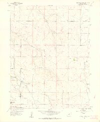
1957 Map of Box Elder School
USGS Topo · Published 1963About this map
The prairie landscape of eastern Adams County is defined by a series of north-flowing seasonal drainages including Third Creek, Second Creek, and First Creek. At the center of the local ranching community, Box Elder Sch and First Creek Sch provided social and educational hubs for the area's families. Industrial development is visible in the southwest corner where the Sky Ranch Airport and a Compressor Station sit near the Union Pacific line.
Find a feature on this map
17 named features on this map. Tap any name to fly to it.
Don’t see what you’re looking for? This feature index may not catch every label — zoom into the map to look around manually.
Map Details
Editions of this 1957 Box Elder School Map
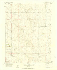
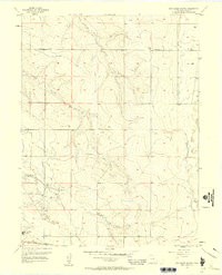
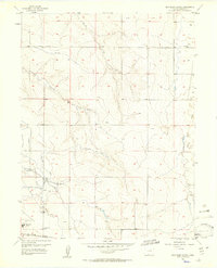
4 editions found
Other maps of this area

1890 · East Denver
USGS Topo · 1:125,000

1935 · East Denver Nos. 3 and 4
USGS Topo · 1:48,000

1938 · Long Branch
USGS Topo · 1:24,000

1939 · Coal Creek
USGS Topo · 1:24,000

1940 · Brighton
USGS Topo · 1:31,680

1941 · Long Branch
USGS Topo · 1:31,680

1941 · Fitzsimons
USGS Topo · 1:31,680

1942 · Mile High Lakes
USGS Topo · 1:31,680

1942 · Box Elder School
USGS Topo · 1:31,680

1942 · Coal Creek
USGS Topo · 1:31,680