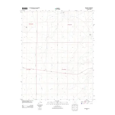
2013 Map of Box Ranch
USGS Topo · Published 2013About this map
Box Ranch anchors the northern portion of this high-plains landscape in southeastern Colorado, situated near the headwaters of Bachicha Cr. The terrain is defined by dry drainage systems and elevated landforms, notably the prominent Piñon Ridge in the northwest and Aguaje Canyon to the east. Transportation through this part of Las Animas County is facilitated by Us-160, which cuts across the central portion of the map, and a network of county roads including Co RD 147 and Co RD 143. The presence of Pipeline Rd running north-south indicates the industrial infrastructure that crosses this open country. To the southeast, the terrain descends toward the winding path of Chacuaco Cr, illustrating the complex local topography of ridges and seasonal watercourses that characterize this rangeland.
Find a feature on this map
14 named features on this map. Tap any name to fly to it.
Don’t see what you’re looking for? This feature index may not catch every label — zoom into the map to look around manually.
Map Details
Editions of this 2013 Box Ranch Map
This is the sole edition of this map. No revisions or reprints were ever made.
Other maps of this area
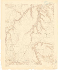
1891 · Mesa De Maya
USGS Topo · 1:125,000
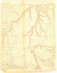
1893 · Mesa de Maya
USGS Topo · 1:125,000

1955 · La Junta
USGS Topo · 1:250,000

1958 · La Junta
USGS Topo · 1:250,000

1968 · La Junta
USGS Topo · 1:250,000
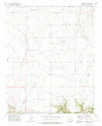
1972 · Branson SE
USGS Topo · 1:24,000
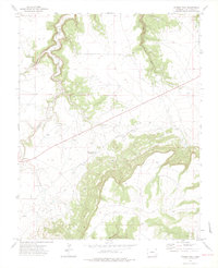
1972 · Miners Peak
USGS Topo · 1:24,000
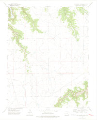
1972 · Doss Canyon South
USGS Topo · 1:24,000
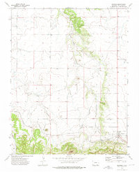
1972 · Branson
USGS Topo · 1:24,000
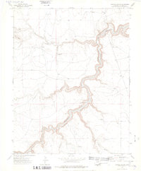
1972 · Painted Canyon
USGS Topo · 1:24,000