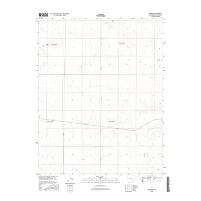
2016 Map of Box Ranch
USGS Topo · Published 2016About this map
Box Ranch serves as a primary landmark in this portion of Las Animas County, situated among the high plains and canyons of southern Colorado. The terrain is defined by dramatic elevation changes, including the prominent Piñon Ridge in the northwest and the deep incision of Aguaje Canyon to the east. Watercourses such as Bachicha Cr and Chacuaco Cr weave through the landscape, illustrating the drainage patterns essential to ranching in this arid environment.
Find a feature on this map
12 named features on this map. Tap any name to fly to it.
Don’t see what you’re looking for? This feature index may not catch every label — zoom into the map to look around manually.
Map Details
Editions of this 2016 Box Ranch Map
This is the sole edition of this map. No revisions or reprints were ever made.
Other maps of this area
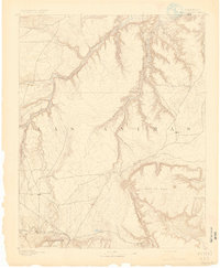
1891 · Mesa De Maya
USGS Topo · 1:125,000
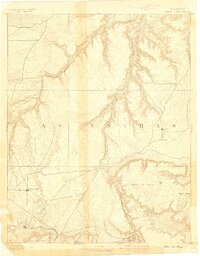
1893 · Mesa de Maya
USGS Topo · 1:125,000

1955 · La Junta
USGS Topo · 1:250,000

1958 · La Junta
USGS Topo · 1:250,000

1968 · La Junta
USGS Topo · 1:250,000
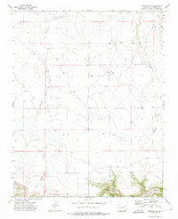
1972 · Branson SE
USGS Topo · 1:24,000
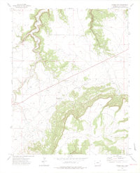
1972 · Miners Peak
USGS Topo · 1:24,000
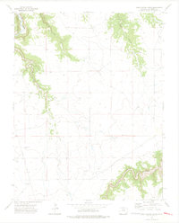
1972 · Doss Canyon South
USGS Topo · 1:24,000
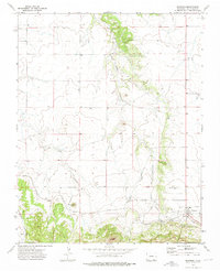
1972 · Branson
USGS Topo · 1:24,000
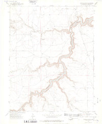
1972 · Painted Canyon
USGS Topo · 1:24,000