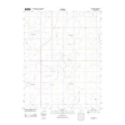
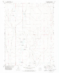
2013 Map of Box Springs
USGS Topo · Published 2013About this map
Box Springs and its surrounding water management infrastructure define this high plains landscape in Crowley County. The area is characterized by a series of engineered catchments, including Box Springs Reservoir Number 1 through Box Springs Reservoir Number 5, which regulate the flow of seasonal drainage throughout the territory. Natural waterways like Horse Cr, Pond Cr, and the appropriately named Dead Horse Cr traverse the gridded section lines, highlighting the critical role of water rights and storage in this arid region. Near the northern boundary, S McCabe Lake and additional reservoirs indicate a concentrated effort to harness local runoff. The survey illustrates a vast network of rural routes, from Co-71 to numerous county roads like Co Road CC and Co Road U, which facilitate access across this sparsely populated ranching and agricultural expanse.
Find a feature on this map
38 named features on this map. Tap any name to fly to it.
Don’t see what you’re looking for? This feature index may not catch every label — zoom into the map to look around manually.
Map Details
Editions of this 2013 Box Springs Map
This is the sole edition of this map. No revisions or reprints were ever made.
Other maps of this area
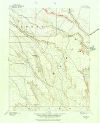
1889 · Sanborn
USGS Topo · 1:125,000
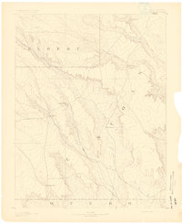
1891 · Sanborn
USGS Topo · 1:125,000
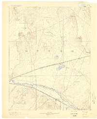
1891 · Catlin
USGS Topo · 1:125,000
1893 · Sanborn
USGS Topo · 1:125,000
1893 · Catlin
USGS Topo · 1:125,000

1954 · Lamar
USGS Topo · 1:250,000

1958 · Lamar
USGS Topo · 1:250,000
1977 · Walker Point
USGS Topo · 1:24,000
1977 · The Pinnacles
USGS Topo · 1:24,000
1977 · Box Springs
USGS Topo · 1:24,000