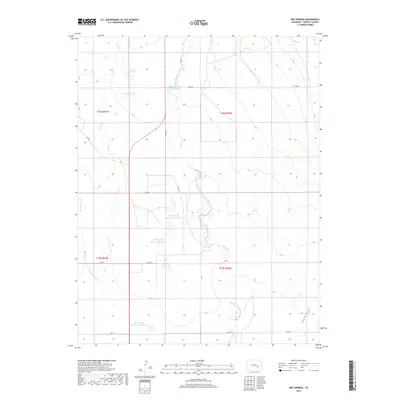
2019 Map of Box Springs
USGS Topo · Published 2019About this map
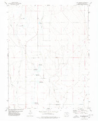
Box Springs anchors a landscape defined by an intricate network of water management in Crowley County. This high-plains environment is characterized by its reliance on significant catchment systems, including Reservoir Number 1, South McCabe Lake, and the numbered sequence of Box Springs Reservoir Number 1, Number 3, and Number 5. These basins are fed by seasonal drainages such as Horse Cr, Pond Cr, and Dead Horse Cr, reflecting the region's historical adaptation to aridity through engineering. The map reveals the township and range grid system, with roads like Field RD and Co RD 88 following section lines across the open terrain. This documentation is essential for understanding the infrastructure of Eastern Colorado, where isolated settlements and reservoirs remain the primary markers of human presence against the vastness of Black Draw.
Find a feature on this map
24 named features on this map. Tap any name to fly to it.
Don’t see what you’re looking for? This feature index may not catch every label — zoom into the map to look around manually.
Map Details
Editions of this 2019 Box Springs Map
This is the sole edition of this map. No revisions or reprints were ever made.
Other maps of this area
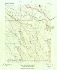
1889 · Sanborn
USGS Topo · 1:125,000
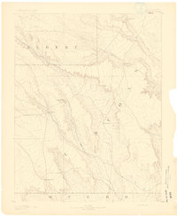
1891 · Sanborn
USGS Topo · 1:125,000
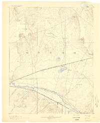
1891 · Catlin
USGS Topo · 1:125,000
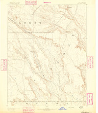
1893 · Sanborn
USGS Topo · 1:125,000
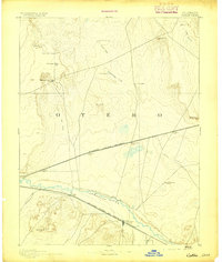
1893 · Catlin
USGS Topo · 1:125,000

1954 · Lamar
USGS Topo · 1:250,000

1958 · Lamar
USGS Topo · 1:250,000
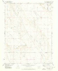
1977 · Walker Point
USGS Topo · 1:24,000
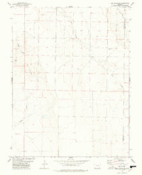
1977 · The Pinnacles
USGS Topo · 1:24,000
1977 · Box Springs
USGS Topo · 1:24,000