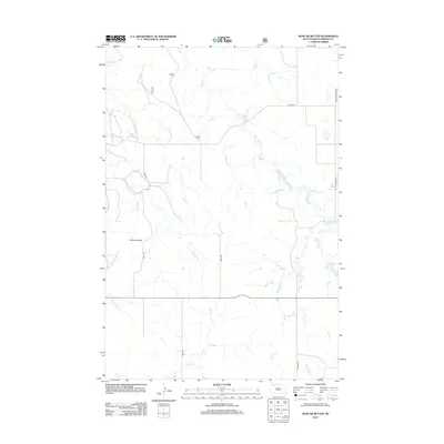
2012 Map of Boxcar Buttes
USGS Topo · Published 2012About this map
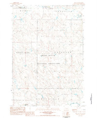
Boxcar Buttes rise above a landscape defined by an intricate network of drainage systems in this rural Perkins County survey. The northern reaches of the sheet are marked by the S Fork Grand River, which feeds a series of seasonal waterways including Butcher Cr and Big Meadow Cr. The drainage pattern suggests a topography of high plains and cut-banks, where water has carved deep paths through the Dakota prairie.
Find a feature on this map
11 named features on this map. Tap any name to fly to it.
Don’t see what you’re looking for? This feature index may not catch every label — zoom into the map to look around manually.
Map Details
Editions of this 2012 Boxcar Buttes Map
This is the sole edition of this map. No revisions or reprints were ever made.
Other maps of this area

1954 · Lemmon
USGS Topo · 1:250,000

1957 · Lemmon
USGS Topo · 1:250,000
1983 · Boxcar Buttes
USGS Topo · 1:24,000
1983 · Bison
USGS Topo · 1:24,000
1983 · Bison NE
USGS Topo · 1:24,000
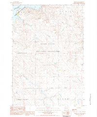
1983 · Meadow NW
USGS Topo · 1:24,000
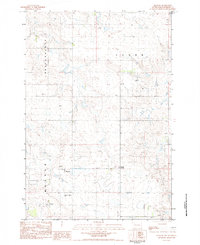
1983 · Meadow
USGS Topo · 1:24,000
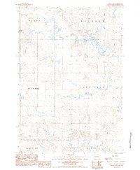
1983 · Owen Lake
USGS Topo · 1:24,000
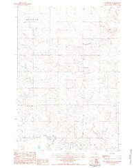
1983 · Coal Springs NW
USGS Topo · 1:24,000
1983 · Bison NW
USGS Topo · 1:24,000