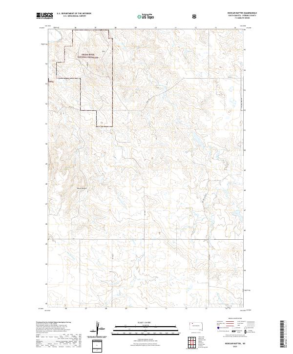
2021 Map of Boxcar Buttes
USGS Topo · Published 2021About this map
The Grand River National Grassland dominates the northwestern portion of this Perkins County landscape, representing a significant area of public prairie conservation. The terrain is defined by the namesake Boxcar Buttes and a series of drainage systems including Butcher Cr and Hart Cr that carve through the high plains. This contemporary survey illustrates the sparse, grid-based road network characteristic of the region, where family and local history are tied to routes like Bakke Rd and Chance Rd. The map also captures the headwaters of Box Spring Cr and Big Meadow Cr, showing the critical role of water management in this semi-arid ranching environment. For researchers, the clear delineation of township and range lines across t19n r14e and t18n r15e provides a precise framework for locating specific land parcels and historical property boundaries.
Find a feature on this map
17 named features on this map. Tap any name to fly to it.
Don’t see what you’re looking for? This feature index may not catch every label — zoom into the map to look around manually.
Map Details
Editions of this 2021 Boxcar Buttes Map
This is the sole edition of this map. No revisions or reprints were ever made.
Other maps of this area

1954 · Lemmon
USGS Topo · 1:250,000

1957 · Lemmon
USGS Topo · 1:250,000

1983 · Boxcar Buttes
USGS Topo · 1:24,000

1983 · Bison
USGS Topo · 1:24,000

1983 · Bison NE
USGS Topo · 1:24,000

1983 · Meadow NW
USGS Topo · 1:24,000

1983 · Meadow
USGS Topo · 1:24,000

1983 · Owen Lake
USGS Topo · 1:24,000

1983 · Coal Springs NW
USGS Topo · 1:24,000

1983 · Bison NW
USGS Topo · 1:24,000