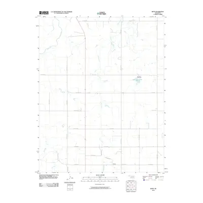
2010 Map of Boyd
USGS Topo · Published 2010About this map
Beaver River and its seasonal tributaries define this section of the Oklahoma Panhandle, where the landscape is organized by a precise grid of section-line roads. Near the southern edge of the survey, Bethany Cemetery serves as a quiet local landmark amidst the vast agricultural stretches of Beaver County. The drainage network is particularly detailed here, featuring Jackson Creek and Bull Creek, which eventually reach the river. One notable water management site is the Oknoname 007001 Reservoir and its associated Oknoname 007001 Dam. The layout of roads like C E Law Rd and various numbered hollow routes demonstrates how early 21st-century infrastructure follows the cardinal directions of the original public land surveys.
Find a feature on this map
23 named features on this map. Tap any name to fly to it.
Don’t see what you’re looking for? This feature index may not catch every label — zoom into the map to look around manually.
Map Details
Editions of this 2010 Boyd Map
This is the sole edition of this map. No revisions or reprints were ever made.
Other maps of this area

1954 · Perryton
USGS Topo · 1:250,000

1958 · Perryton
USGS Topo · 1:250,000

1973 · Balko
USGS Topo · 1:24,000

1973 · Boyd
USGS Topo · 1:24,000

1973 · Bryans Corner SW
USGS Topo · 1:24,000

1973 · Floris
USGS Topo · 1:24,000

1973 · Turpin East
USGS Topo · 1:24,000

1973 · Red Horse Creek
USGS Topo · 1:24,000

1973 · Bryans Corner
USGS Topo · 1:24,000

1973 · Balko SW
USGS Topo · 1:24,000