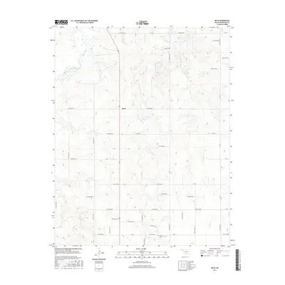
2016 Map of Boyd
USGS Topo · Published 2016About this map
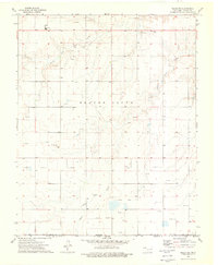
Boyd serves as a central point in this northern Oklahoma landscape, situated at the intersection of Route 83 and various county roads. The terrain is defined by a dense network of numbered hollows, such as Hollow E0210 and Hollow E0240, which channel drainage toward the Beaver River in the northwest and Jackson Creek through the center. These topographic depressions, often named according to their orientation like Hollow N1210, reveal a deeply etched prairie environment where water management and road placement are dictate by the local drainage patterns. In the southern portion of the map near Ew 26, the Bethany Cemetery provides a tangible link to the area's pioneer heritage, while the presence of Bull Creek and Willow Creek further illustrates the hydrology that shaped this ranching and agricultural region.
Find a feature on this map
43 named features on this map. Tap any name to fly to it.
Don’t see what you’re looking for? This feature index may not catch every label — zoom into the map to look around manually.
Map Details
Editions of this 2016 Boyd Map
This is the sole edition of this map. No revisions or reprints were ever made.
Other maps of this area

1954 · Perryton
USGS Topo · 1:250,000

1958 · Perryton
USGS Topo · 1:250,000
1973 · Balko
USGS Topo · 1:24,000
1973 · Boyd
USGS Topo · 1:24,000
1973 · Bryans Corner SW
USGS Topo · 1:24,000
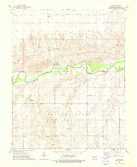
1973 · Floris
USGS Topo · 1:24,000
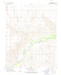
1973 · Turpin East
USGS Topo · 1:24,000
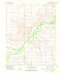
1973 · Red Horse Creek
USGS Topo · 1:24,000
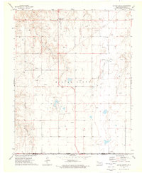
1973 · Bryans Corner
USGS Topo · 1:24,000
1973 · Balko SW
USGS Topo · 1:24,000