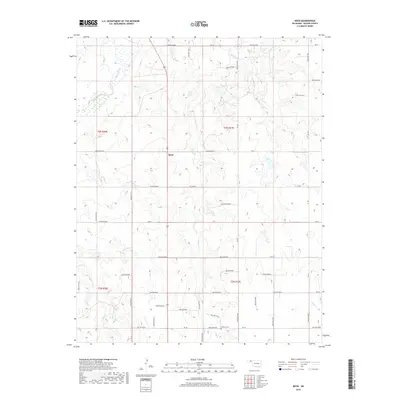
2018 Map of Boyd
USGS Topo · Published 2018About this map
The Beaver River winds through the northwest corner of this Oklahoma Panhandle landscape, where the settlement of Boyd serves as the primary focal point. This 2018 survey reveals a highly organized grid of rural section lines and local roads such as Ce Law Rd and Hollow E0230, reflecting the region’s agricultural structure. The terrain is defined by drainage patterns from several seasonal watercourses including Jackson Cr, Bull Cr, and Willow Cr, which carve shallow hollows into the high plains. For those researching local family history, the Bethany Cem is a significant genealogical landmark situated in the southern portion of the quadrangle. The map documents the enduring layout of the Public Land Survey System, with township boundaries for t3n r20e and t2n r21e clearly delineated.
Find a feature on this map
44 named features on this map. Tap any name to fly to it.
Don’t see what you’re looking for? This feature index may not catch every label — zoom into the map to look around manually.
Map Details
Editions of this 2018 Boyd Map
This is the sole edition of this map. No revisions or reprints were ever made.
Other maps of this area

1954 · Perryton
USGS Topo · 1:250,000

1958 · Perryton
USGS Topo · 1:250,000

1973 · Balko
USGS Topo · 1:24,000

1973 · Boyd
USGS Topo · 1:24,000

1973 · Bryans Corner SW
USGS Topo · 1:24,000

1973 · Floris
USGS Topo · 1:24,000

1973 · Turpin East
USGS Topo · 1:24,000

1973 · Red Horse Creek
USGS Topo · 1:24,000

1973 · Bryans Corner
USGS Topo · 1:24,000

1973 · Balko SW
USGS Topo · 1:24,000