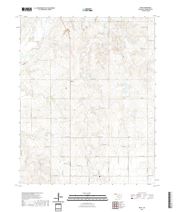
2022 Map of Boyd
USGS Topo · Published 2022About this map
The settlement of Boyd sits within the high plains of the Oklahoma Panhandle, where the wide valley of the Beaver River cuts across the northern landscape. This 2022 survey details a region defined by its section-line road network and intermittent drainages, including Jackson Cr and Bull Cr. Local history is anchored by the Bethany Cem in the southern portion of the quadrangle, serving as a primary point of interest for genealogists tracing family roots in this corner of Beaver County. The terrain is characterized by numerous hollows, such as Hollow E0183 and Hollow E0225, which demonstrate the gradual erosion patterns typical of the region's semi-arid environment. The mapping of named local routes like C E Law Rd and various numbered section roads provides a clear framework for locating old homesteads and ranch boundaries.
Find a feature on this map
46 named features on this map. Tap any name to fly to it.
Don’t see what you’re looking for? This feature index may not catch every label — zoom into the map to look around manually.
Map Details
Editions of this 2022 Boyd Map
This is the sole edition of this map. No revisions or reprints were ever made.
Other maps of this area

1954 · Perryton
USGS Topo · 1:250,000

1958 · Perryton
USGS Topo · 1:250,000

1973 · Balko
USGS Topo · 1:24,000

1973 · Boyd
USGS Topo · 1:24,000

1973 · Bryans Corner SW
USGS Topo · 1:24,000

1973 · Floris
USGS Topo · 1:24,000

1973 · Turpin East
USGS Topo · 1:24,000

1973 · Red Horse Creek
USGS Topo · 1:24,000

1973 · Bryans Corner
USGS Topo · 1:24,000

1973 · Balko SW
USGS Topo · 1:24,000