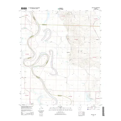
2014 Map of Boyd Hill
USGS Topo · Published 2014About this map
The Red River meanders across the borderlands of Miller and Lafayette counties in this Southwest Arkansas study, defining a landscape of active hydrology and oxbow formations. Evidence of the river's shifting nature is preserved in the 1927 cut-off lake, a distinct horseshoe feature isolated from the main channel. Smaller water bodies like Grassy Lake, Mays Lake, and Cypress City Lake dot the bottomlands, illustrating the complex drainage patterns of the river basin.
Find a feature on this map
60 named features on this map. Tap any name to fly to it.
Don’t see what you’re looking for? This feature index may not catch every label — zoom into the map to look around manually.
Map Details
Editions of this 2014 Boyd Hill Map
This is the sole edition of this map. No revisions or reprints were ever made.
Other maps of this area

1951 · Patmos
USGS Topo · 1:24,000

1951 · Fulton
USGS Topo · 1:24,000

1951 · Spring Hill
USGS Topo · 1:24,000

1952 · Garland
USGS Topo · 1:24,000

1952 · Fouke SE
USGS Topo · 1:24,000

1952 · Old Town
USGS Topo · 1:24,000

1952 · Lewisville
USGS Topo · 1:24,000

1952 · Fouke NE
USGS Topo · 1:24,000

1952 · Boyd Hill
USGS Topo · 1:24,000

1953 · El Dorado
USGS Topo · 1:250,000