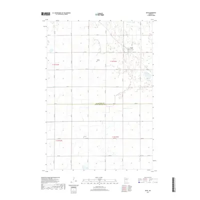
2019 Map of Boyd
USGS Topo · Published 2019About this map
The settlement of Boyd serves as the focal point for this landscape along the border of Lac Qui Parle Co and Yellow Medicine Co. A grid of section roads, such as Co Hwy 2 and 345th Ave, connects the agricultural parcels that dominate the region. Genealogists will find several burial sites preserved among the fields, including Trinity Cem located near the town center and the more isolated Ten Mile Lake Cem. Water features are relatively sparse but significant to the local geography, notably Tenmile Lake in the northeastern corner and the winding path of Tenmile Cr. This 2019 survey documents the enduring rural structure of the Minnesota prairie, where the placement of cemeteries like Zion Cem and Fridhem Cem reflects the long-standing community centers established by early residents.
Find a feature on this map
39 named features on this map. Tap any name to fly to it.
Don’t see what you’re looking for? This feature index may not catch every label — zoom into the map to look around manually.
Map Details
Editions of this 2019 Boyd Map
This is the sole edition of this map. No revisions or reprints were ever made.
Other maps of this area

1953 · Watertown
USGS Topo · 1:250,000

1953 · New Ulm
USGS Topo · 1:250,000

1957 · New Ulm
USGS Topo · 1:250,000

1958 · New Ulm
USGS Topo · 1:250,000

1958 · Watertown
USGS Topo · 1:250,000

1965 · Clarkfield
USGS Topo · 1:24,000
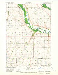
1965 · Clarkfield NE
USGS Topo · 1:24,000
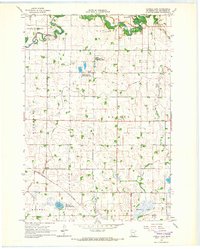
1965 · Tenmile Lake
USGS Topo · 1:24,000

1965 · Boyd
USGS Topo · 1:24,000

1967 · New Ulm
USGS Topo · 1:250,000