
1955 Map of Boyd Lake
USGS Topo · Published 1956About this map
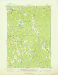
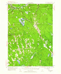
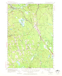
The Piscataquis River and Sebec River converge at the northern edge of this landscape, anchoring the railroad industrial hubs of Milo and Derby. This 1950s record of Penobscot and Piscataquis counties highlights a network of rural schoolhouses and small agricultural centers before the consolidation of mid-century infrastructure. Small crossroads like Stores Corner and North Bradford are documented alongside local industries such as the Huntington Mill.
Find a feature on this map
79 named features on this map. Tap any name to fly to it.
Don’t see what you’re looking for? This feature index may not catch every label — zoom into the map to look around manually.
Map Details
Editions of this 1955 Boyd Lake Map
4 editions found
Other maps of this area

1902 · Orono
USGS Topo · 1:62,500

1902 · Bangor
USGS Topo · 1:62,500

1917 · Passadumkeag
USGS Topo · 1:62,500

1931 · Stetson
USGS Topo · 1:48,000

1932 · Dover-Foxcroft
USGS Topo · 1:48,000

1933 · Boyd Lake
USGS Topo · 1:62,500

1935 · Dover-Foxcroft
USGS Topo · 1:62,500

1935 · Stetson
USGS Topo · 1:62,500

1940 · Sebec
USGS Topo · 1:48,000

1942 · Lincoln
USGS Topo · 1:62,500