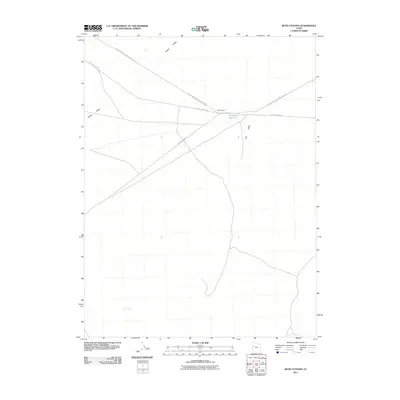
2011 Map of Boyd Station
USGS Topo · Published 2011About this map
Snake Valley serves as the backdrop for this geographic study of western Utah's high desert, dominated by the enduring path of the historic mail and stagecoach routes. Centered on Boyd Station, the map traces the intersection of the Pony Express and Overland Stge and the modern Pony Express Rd, marking a location that once served as a critical link in the nation's 19th-century communication network. The sparse landscape is defined by its water management and drainage features, including the Roadside Reservoir and the drainage of Fish Wash. These labels reflect the essential infrastructure required for travel and ranching in an arid environment, where roads like Granite Ranch Rd connect distant outposts across the valley floor.
Find a feature on this map
7 named features on this map. Tap any name to fly to it.
Don’t see what you’re looking for? This feature index may not catch every label — zoom into the map to look around manually.
Map Details
Editions of this 2011 Boyd Station Map
This is the sole edition of this map. No revisions or reprints were ever made.
Other maps of this area
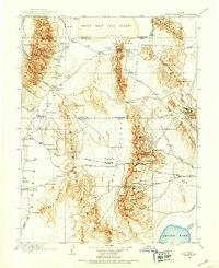
1908 · Fish Springs
USGS Topo · 1:250,000
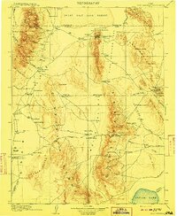
1910 · Fish Springs
USGS Topo · 1:250,000

1953 · Delta
USGS Topo · 1:250,000

1958 · Delta
USGS Topo · 1:250,000
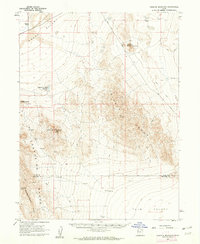
1960 · Granite Mountain
USGS Topo · 1:62,500

1962 · Delta
USGS Topo · 1:250,000
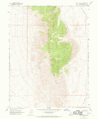
1967 · Sand Pass NW
USGS Topo · 1:24,000
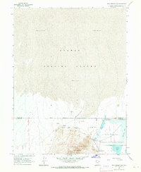
1967 · Fish Springs NW
USGS Topo · 1:24,000
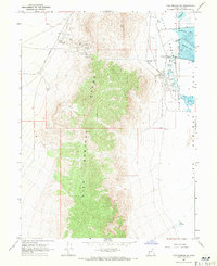
1967 · Fish Springs SW
USGS Topo · 1:24,000
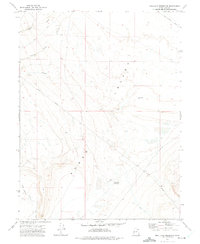
1972 · Mud Lake Reservoir
USGS Topo · 1:24,000