
1967 Map of Sand Pass NW
USGS Topo · Published 1970About this map
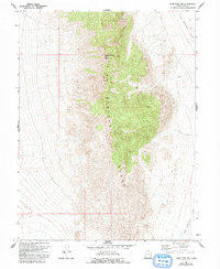
The Fish Springs Range dominates this portion of Juab County, Utah, showing a landscape defined by dramatic elevation changes and arid desert basins. Based on photogrammetric methods from 1963 and field checked in 1967, the survey captures the area before significant modern development, emphasizing natural topography over human settlement. The eastern edge of the quadrangle opens into the broad, low-lying Fish Springs Flat, a stark contrast to the neighboring peaks. Transportation through this remote section is limited to a few primitive routes, most notably a Jeep Trail cutting across the flats and the Sand Pass Road leading toward the mountain pass. This map serves as a precise record of the geological structure and drainage patterns of the Great Basin during the late 1960s.
Find a feature on this map
5 named features on this map. Tap any name to fly to it.
Don’t see what you’re looking for? This feature index may not catch every label — zoom into the map to look around manually.
Map Details
Editions of this 1967 Sand Pass NW Map
2 editions found
Other maps of this area

1908 · Fish Springs
USGS Topo · 1:250,000

1910 · Fish Springs
USGS Topo · 1:250,000

1953 · Delta
USGS Topo · 1:250,000

1958 · Delta
USGS Topo · 1:250,000

1960 · Granite Mountain
USGS Topo · 1:62,500

1962 · Delta
USGS Topo · 1:250,000

1967 · Sand Pass
USGS Topo · 1:24,000

1967 · Sand Pass SE
USGS Topo · 1:24,000

1967 · Fish Springs SE
USGS Topo · 1:24,000
1967 · Sand Pass NE
USGS Topo · 1:24,000