
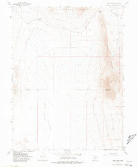
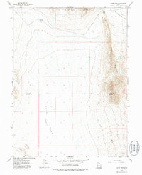
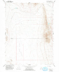
1967 Map of Sand Pass
USGS Topo · Published 1970About this map
Swasey Mountain dominates the eastern horizon of this desert landscape, where the high ridges of the Great Basin meet the low, arid expanses of the Tule Valley. Surveyed in the late 1960s, the map reveals a remote intersection of geology and sparse water resources, anchored by the Roadside Reservoir and the rugged passage at Sand Pass. The terrain transitions sharply from the steep elevations of the Fish Springs Range down into the expansive, level Fish Springs Flat.
Find a feature on this map
8 named features on this map. Tap any name to fly to it.
Don’t see what you’re looking for? This feature index may not catch every label — zoom into the map to look around manually.
Map Details
Editions of this 1967 Sand Pass Map
4 editions found
Other maps of this area

1908 · Fish Springs
USGS Topo · 1:250,000

1910 · Fish Springs
USGS Topo · 1:250,000

1953 · Delta
USGS Topo · 1:250,000

1958 · Delta
USGS Topo · 1:250,000

1959 · Cowboy Pass
USGS Topo · 1:62,500

1960 · Granite Mountain
USGS Topo · 1:62,500

1962 · Delta
USGS Topo · 1:250,000

1967 · Sand Pass NW
USGS Topo · 1:24,000

1967 · Sand Pass SE
USGS Topo · 1:24,000
1967 · Sand Pass NE
USGS Topo · 1:24,000