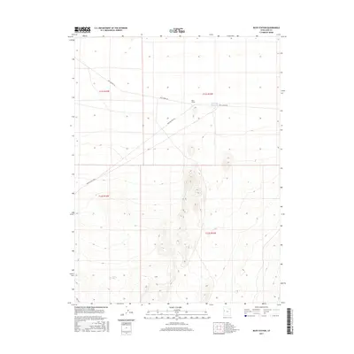
2017 Map of Boyd Station
USGS Topo · Published 2017About this map
Boyd Station anchors this high-desert landscape in Juab County, marking a historic waypoint in a region defined by early transcontinental communication. The corridor follows the legendary Pony Express Rd, which cuts horizontally across the terrain, reflecting the nineteenth-century postal route's path through the West. The topography is largely defined by severe elevation changes and drainage patterns that converge near Roadside Reservoir, one of the few named water features in this arid environment. Transportation through the area is supported by a network of utilitarian routes including Granite Ranch Rd and the Weiss Hwy, which intersect with the older trail systems. This map captures the intersection of historical transit routes and modern infrastructure, showing how the original Pony Express path continues to shape the geographic orientation of the region.
Find a feature on this map
9 named features on this map. Tap any name to fly to it.
Don’t see what you’re looking for? This feature index may not catch every label — zoom into the map to look around manually.
Map Details
Editions of this 2017 Boyd Station Map
This is the sole edition of this map. No revisions or reprints were ever made.
Other maps of this area
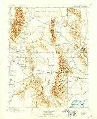
1908 · Fish Springs
USGS Topo · 1:250,000
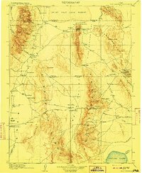
1910 · Fish Springs
USGS Topo · 1:250,000

1953 · Delta
USGS Topo · 1:250,000

1958 · Delta
USGS Topo · 1:250,000
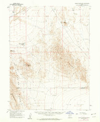
1960 · Granite Mountain
USGS Topo · 1:62,500

1962 · Delta
USGS Topo · 1:250,000
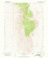
1967 · Sand Pass NW
USGS Topo · 1:24,000
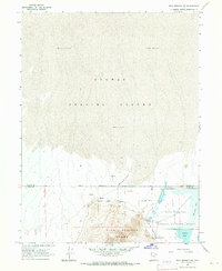
1967 · Fish Springs NW
USGS Topo · 1:24,000
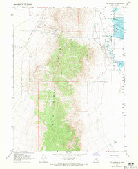
1967 · Fish Springs SW
USGS Topo · 1:24,000
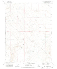
1972 · Mud Lake Reservoir
USGS Topo · 1:24,000