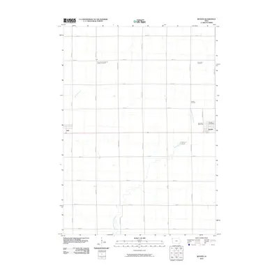
2010 Map of Boyden
USGS Topo · Published 2010About this map
Boyden and Hull anchor the eastern and western edges of this agricultural landscape in Sioux County, Iowa. The terrain is defined by a grid-like network of rural avenues and streets, interspersed with the meandering course of the West Branch Floyd River and its tributary, Burr Oak Creek. In this rural expanse, the small settlement of Athol stands as a focal point for researchers interested in the historic distribution of local communities. Local history and genealogy are anchored by several well-documented burial sites, including Saint Pauls Evangelical Lutheran Cemetery, Saint John Cemetery, and Boyden Cemetery, which serve as vital landmarks for tracing early families in the region. The map also captures the town of Boyden in detail, featuring the Boyden Post Office and the Otter Valley Golf Course as central social and civic landmarks.
Find a feature on this map
26 named features on this map. Tap any name to fly to it.
Don’t see what you’re looking for? This feature index may not catch every label — zoom into the map to look around manually.
Map Details
Editions of this 2010 Boyden Map
This is the sole edition of this map. No revisions or reprints were ever made.
Other maps of this area

1954 · Fairmont
USGS Topo · 1:250,000

1955 · Sioux Falls
USGS Topo · 1:250,000

1958 · Sioux Falls
USGS Topo · 1:250,000

1958 · Fairmont
USGS Topo · 1:250,000

1964 · Hospers
USGS Topo · 1:24,000

1964 · Matlock
USGS Topo · 1:24,000

1964 · Orange City
USGS Topo · 1:24,000

1964 · Boyden
USGS Topo · 1:24,000

1964 · Sioux Center
USGS Topo · 1:24,000

1964 · Hull
USGS Topo · 1:24,000