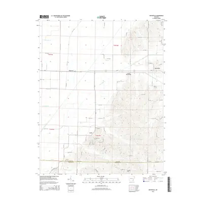
2014 Map of Boydsville
USGS Topo · Published 2014About this map
Crowleys Ridge rises distinctly above the alluvial lowlands of the Mississippi Embayment in this northern Arkansas landscape. The terrain transition is marked by a shift from the precise, engineered drainage of the flatlands—typified by Cache River Ditch Number 1 and its numbered tributaries—to the winding, natural creek beds of the uplands. Small rural settlements like Knob and Tipperary anchor the agricultural network, while the historic seat of Boydsville sits along the ridge's eastern flank. Genealogists and local historians will find several well-defined burial grounds across the area, including Rock Springs Cem and Bethlehem Cem. The map illustrates the persistent intersection of natural geology and human land management, where roads like Ar-90 follow the straight section lines of the survey grid until they reach the elevated contours of the ridge.
Find a feature on this map
74 named features on this map. Tap any name to fly to it.
Don’t see what you’re looking for? This feature index may not catch every label — zoom into the map to look around manually.
Map Details
Editions of this 2014 Boydsville Map
This is the sole edition of this map. No revisions or reprints were ever made.
Other maps of this area

1935 · Rector
USGS Topo · 1:62,500

1935 · Knobel
USGS Topo · 1:62,500

1940 · Gainesville
USGS Topo · 1:62,500

1940 · Marmaduke
USGS Topo · 1:62,500

1941 · Knobel
USGS Topo · 1:62,500

1957 · Poplar Bluff
USGS Topo · 1:250,000

1958 · Marmaduke
USGS Topo · 1:62,500

1958 · Gainesville
USGS Topo · 1:62,500

1958 · Rector
USGS Topo · 1:62,500

1959 · Poplar Bluff
USGS Topo · 1:250,000