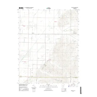
2017 Map of Boydsville
USGS Topo · Published 2017About this map
Crowleys Ridge rises from the landscape in this northeast Arkansas survey, creating a distinct topographical divide between the low-lying wetlands and the upland terrain. The eastern portion of the map is dominated by the complex contours of this geological formation, where small settlements like Boydsville and Knob are situated among the higher elevations. These communities are anchored by local landmarks such as Rock Springs Cem and Bethlehem Cem, providing valuable points of reference for genealogists studying the families of the Clay and Greene county line.
Find a feature on this map
71 named features on this map. Tap any name to fly to it.
Don’t see what you’re looking for? This feature index may not catch every label — zoom into the map to look around manually.
Map Details
Editions of this 2017 Boydsville Map
This is the sole edition of this map. No revisions or reprints were ever made.
Other maps of this area
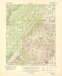
1935 · Rector
USGS Topo · 1:62,500
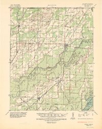
1935 · Knobel
USGS Topo · 1:62,500
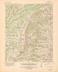
1940 · Gainesville
USGS Topo · 1:62,500
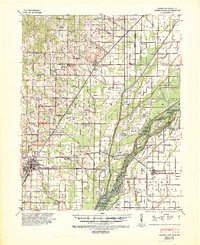
1940 · Marmaduke
USGS Topo · 1:62,500
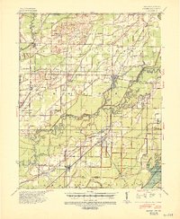
1941 · Knobel
USGS Topo · 1:62,500

1957 · Poplar Bluff
USGS Topo · 1:250,000
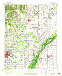
1958 · Marmaduke
USGS Topo · 1:62,500
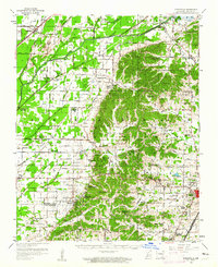
1958 · Gainesville
USGS Topo · 1:62,500
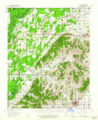
1958 · Rector
USGS Topo · 1:62,500
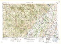
1959 · Poplar Bluff
USGS Topo · 1:250,000