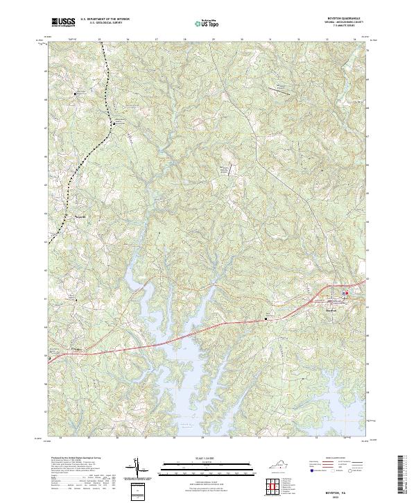
2022 Map of Boydton
USGS Topo · Published 2022About this map
Boydton serves as the focal point of this Southside Virginia landscape, dominated by the northern reaches of the John H. Kerr Reservoir. The map illustrates the transition from the organized grid of the county seat, anchored by the Mecklenburg County Courthouse, to the surrounding rural communities of Skipwith and Finchley. This era sees the convergence of modern infrastructure and heritage, evidenced by the Tobacco Heritage Trl following old rail corridors across the terrain.
Find a feature on this map
67 named features on this map. Tap any name to fly to it.
Don’t see what you’re looking for? This feature index may not catch every label — zoom into the map to look around manually.
Map Details
Editions of this 2022 Boydton Map
This is the sole edition of this map. No revisions or reprints were ever made.
Other maps of this area

1941 · Clarksville
USGS Topo · 1:48,000

1943 · Clarksville
USGS Topo · 1:62,500

1953 · Greensboro
USGS Topo · 1:250,000

1954 · Greensboro
USGS Topo · 1:250,000

1954 · Clover
USGS Topo · 1:62,500

1955 · Chase City
USGS Topo · 1:62,500

1955 · Boydton
USGS Topo · 1:62,500

1957 · Clarksville
USGS Topo · 1:62,500

1962 · Greensboro
USGS Topo · 1:250,000

1966 · Greensboro
USGS Topo · 1:250,000