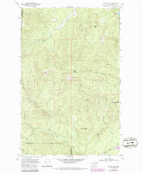
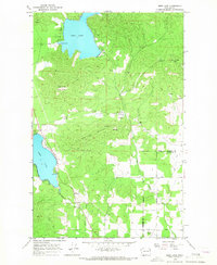
1968 Map of Boyer Mtn
USGS Topo · Published 1986About this map
Kaniksu National Forest defines the rugged interior of the Selkirk Mountains along the border of Stevens and Pend Oreille counties. This area is characterized by high summits and deep drainage systems, including the Middle Fork Calispell Creek and the South Fork Calispell Creek. Higher elevations are marked by prominent peaks such as Boyer Mountain, Power Peak, and Granite Mtn.
Find a feature on this map
21 named features on this map. Tap any name to fly to it.
Don’t see what you’re looking for? This feature index may not catch every label — zoom into the map to look around manually.
Map Details
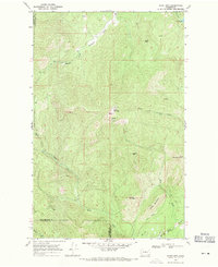
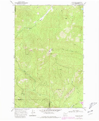
Editions of this 1968 Boyer Mtn Map
Other maps of this area

1927 · Chewelah
USGS Topo · 1:125,000

1930 · Chewelah
USGS Topo · 1:125,000

1936 · Newport
USGS Topo · 1:96,000

1942 · Newport
USGS Topo · 1:125,000

1958 · Sandpoint
USGS Topo · 1:250,000

1963 · Sandpoint
USGS Topo · 1:250,000

1964 · Goddards Peak
USGS Topo · 1:24,000

1964 · Chewelah Mtn
USGS Topo · 1:62,500
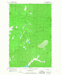
1965 · Nelson Peak
USGS Topo · 1:24,000
1965 · Deer Lake
USGS Topo · 1:24,000