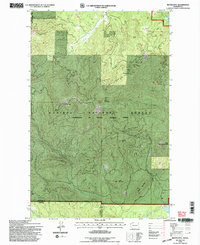
1992 Map of Boyer Mtn
USGS Topo · Published 1997About this map
Kaniksu National Forest lands dominate this mountainous reach of the Selkirk range, where the county line between Stevens and Pend Oreille counties divides the high ridges. Surveyed in the early 1990s, the map reveals a landscape defined by timber and watersheds rather than towns. Drainage systems such as the Middle Fork Calispell Creek and South Fork Calispell Creek carve deep valleys between prominent heights like Boyer Mountain and Power Peak. The presence of scattered prospects and isolated summits like Little Blue Grouse Mtn suggests a history of mineral exploration and fire lookout observation in this heavily forested interior. Near the northeastern corner, Power Lake provides a rare level water feature amidst the steep drainages of Beaver Creek and Buck Creek.
Find a feature on this map
19 named features on this map. Tap any name to fly to it.
Don’t see what you’re looking for? This feature index may not catch every label — zoom into the map to look around manually.
Map Details
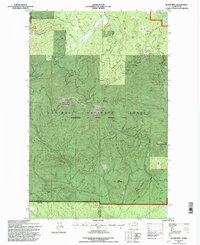
Editions of this 1992 Boyer Mtn Map
2 editions found
Other maps of this area

1927 · Chewelah
USGS Topo · 1:125,000

1930 · Chewelah
USGS Topo · 1:125,000

1936 · Newport
USGS Topo · 1:96,000

1942 · Newport
USGS Topo · 1:125,000

1958 · Sandpoint
USGS Topo · 1:250,000

1963 · Sandpoint
USGS Topo · 1:250,000

1964 · Goddards Peak
USGS Topo · 1:24,000

1964 · Chewelah Mtn
USGS Topo · 1:62,500
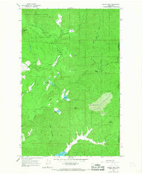
1965 · Nelson Peak
USGS Topo · 1:24,000
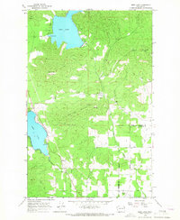
1965 · Deer Lake
USGS Topo · 1:24,000