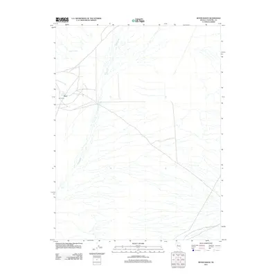
2011 Map of Boyer Ranch
USGS Topo · Published 2011About this map
Boyer Ranch and the small settlement of Boyer sit at the western edge of this arid Churchill County landscape, where the drainage of Cottonwood Creek meets the valley floor. The terrain is defined by the intricate dendritic patterns of ephemeral washes, most notably Spring Creek, which carries seasonal runoff from the surrounding highlands. A rare geothermal signature is noted in the north at Senator Fumaroles, indicating the active subterranean activity common to this part of the Great Basin. This 2011 survey documents the sparse but vital ranching infrastructure and hydrological features that sustain life in this remote interior desert, providing a clear record of land use and water management in the early twenty-first century.
Find a feature on this map
5 named features on this map. Tap any name to fly to it.
Don’t see what you’re looking for? This feature index may not catch every label — zoom into the map to look around manually.
Map Details
Editions of this 2011 Boyer Ranch Map
This is the sole edition of this map. No revisions or reprints were ever made.
Other maps of this area
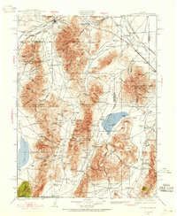
1932 · Sonoma Range
USGS Topo · 1:250,000
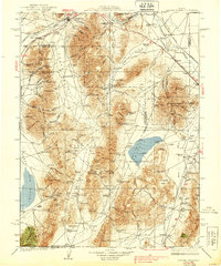
1939 · Sonoma Range
USGS Topo · 1:250,000

1955 · Millett
USGS Topo · 1:250,000

1955 · Winnemucca
USGS Topo · 1:250,000

1958 · Winnemucca
USGS Topo · 1:250,000

1959 · Millett
USGS Topo · 1:250,000
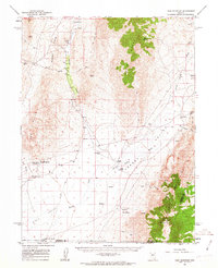
1961 · Cain Mountain
USGS Topo · 1:62,500
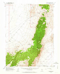
1961 · Fencemaker
USGS Topo · 1:62,500
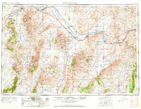
1962 · Winnemucca
USGS Topo · 1:250,000
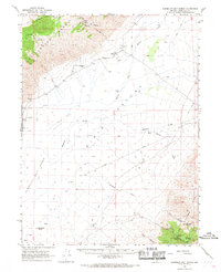
1966 · Humboldt Salt Marsh
USGS Topo · 1:62,500