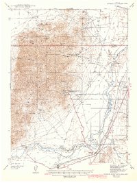
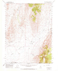
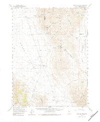
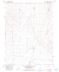
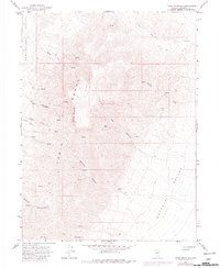
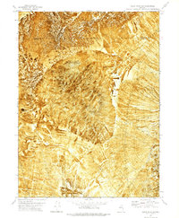
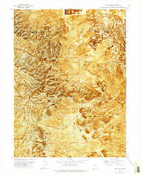
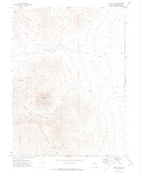
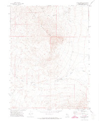
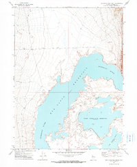
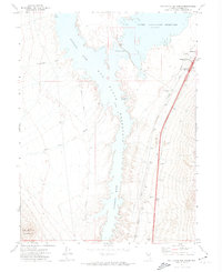
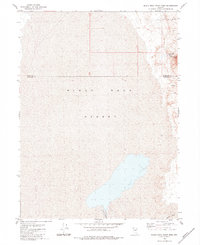
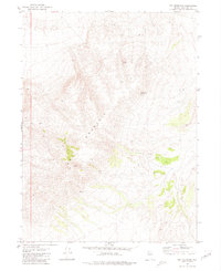
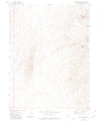
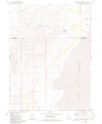
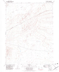
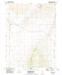
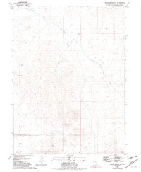
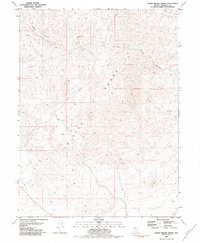
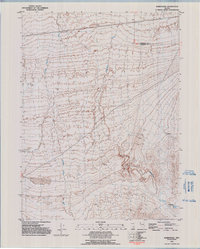
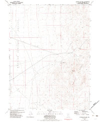
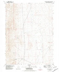
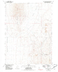
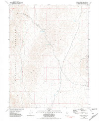
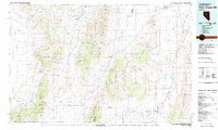
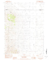
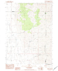
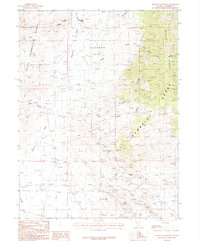
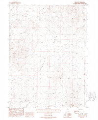
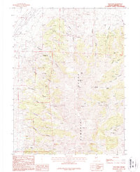
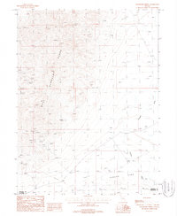
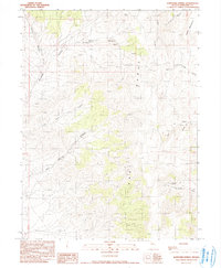
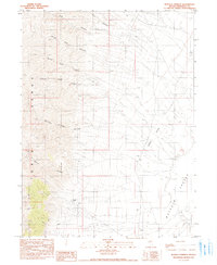
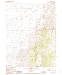
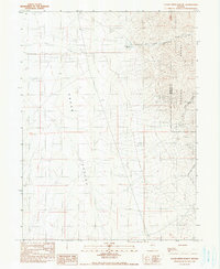
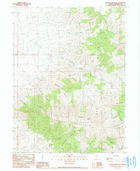
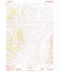
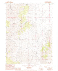
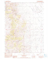
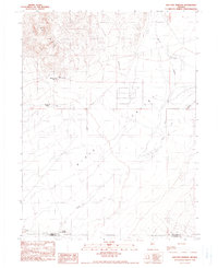
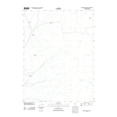
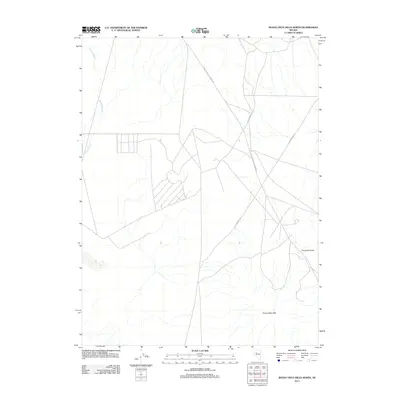
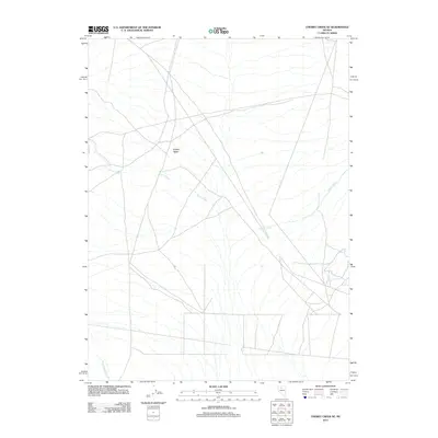
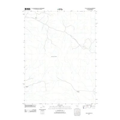
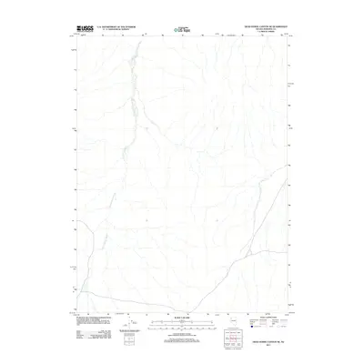
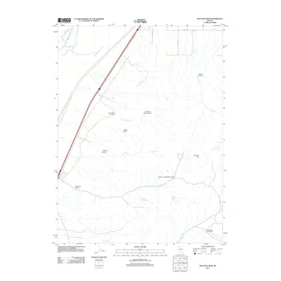
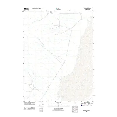
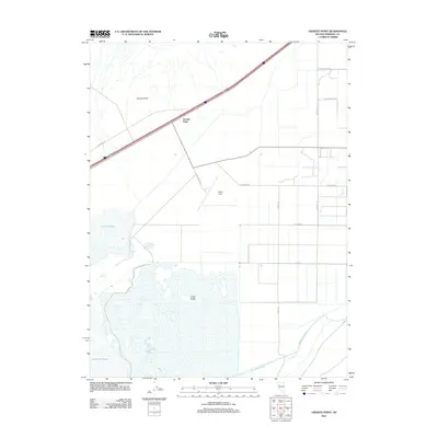
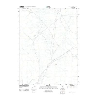
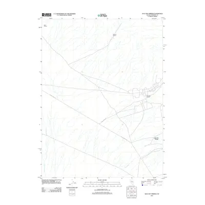
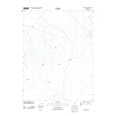
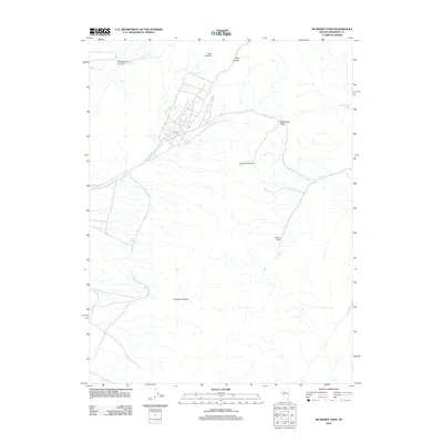
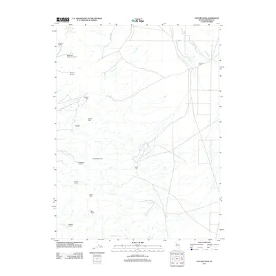
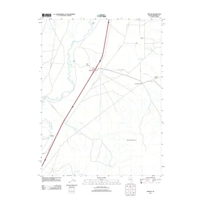
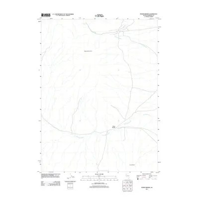
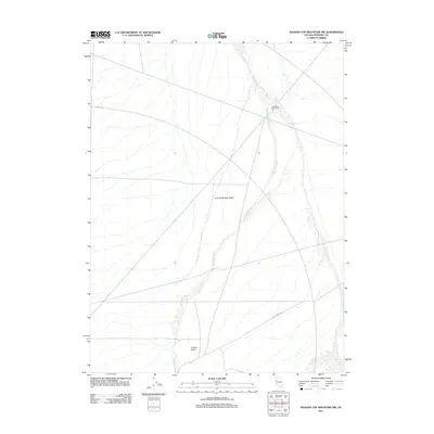
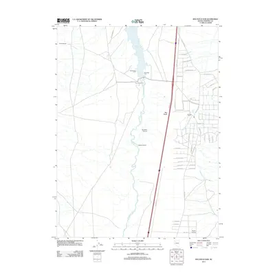
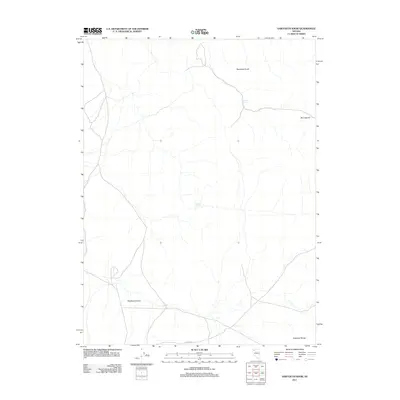
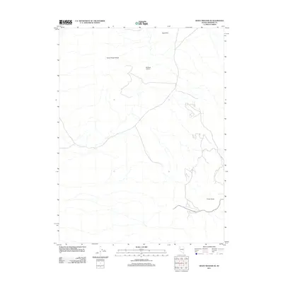
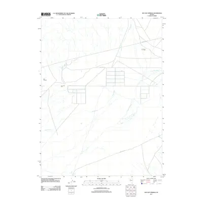
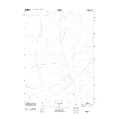
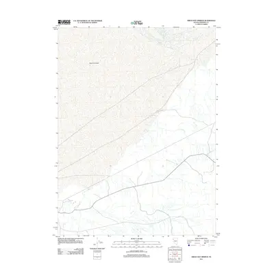
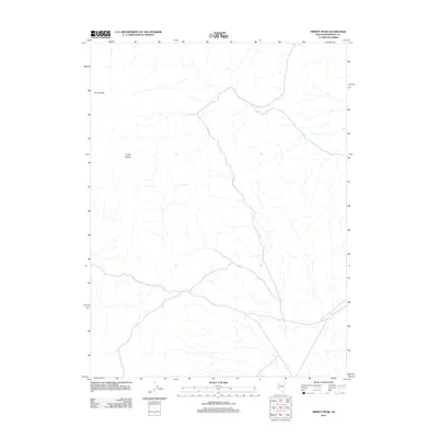
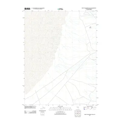
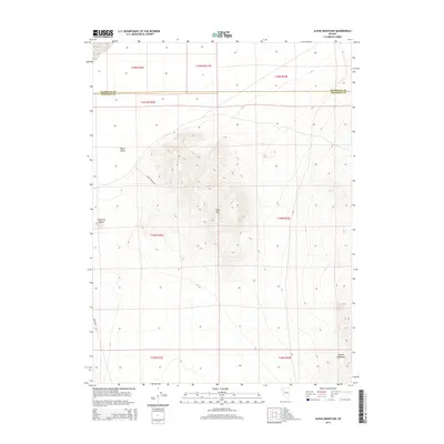
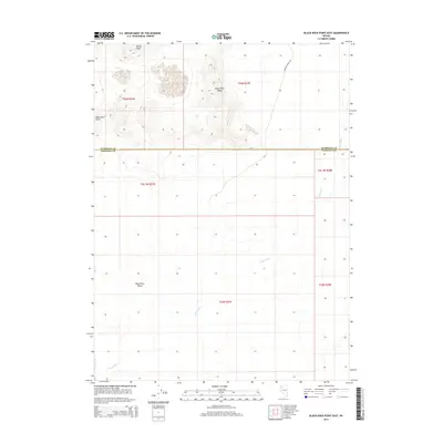
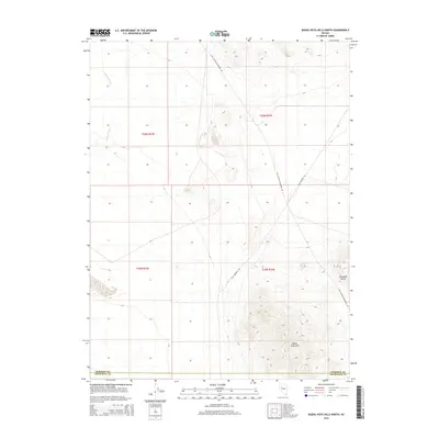
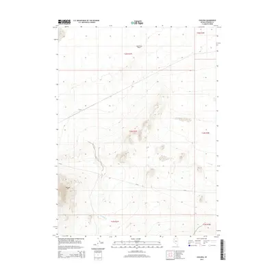
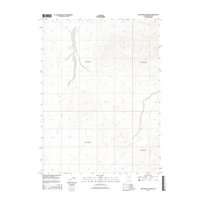
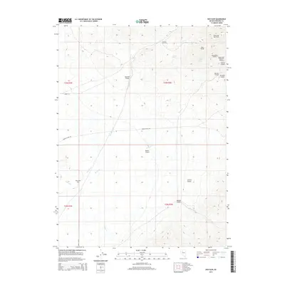
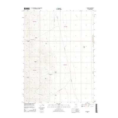
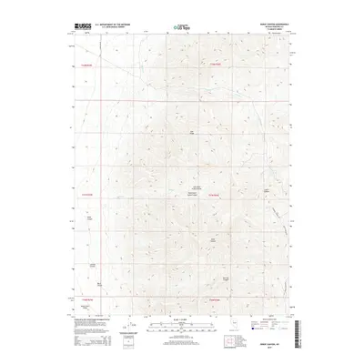
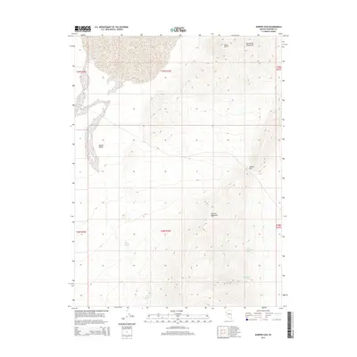
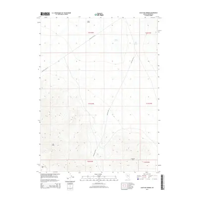
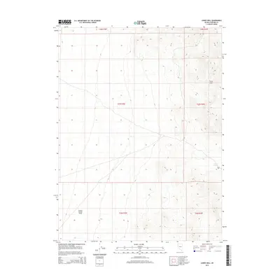
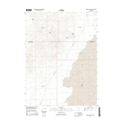
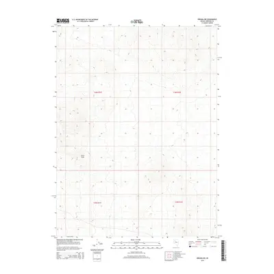
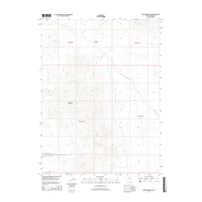
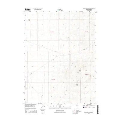
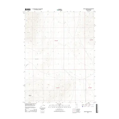
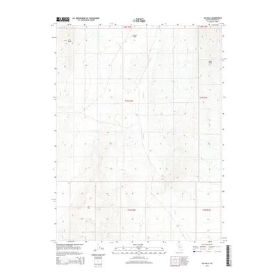
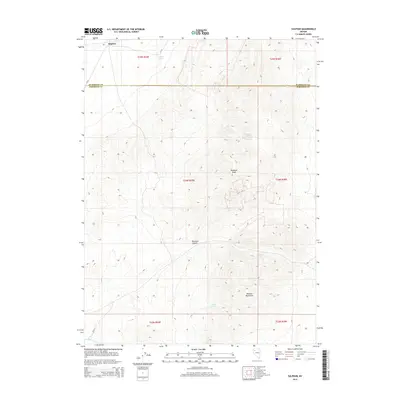
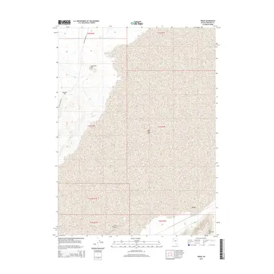
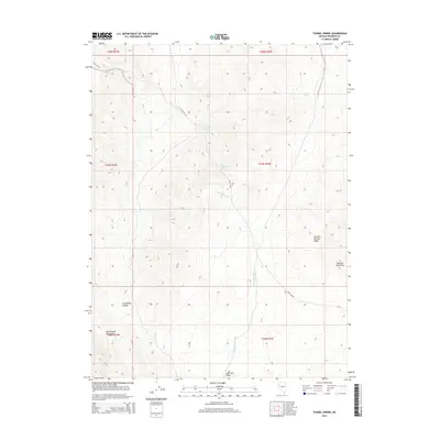
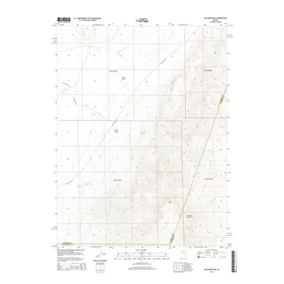
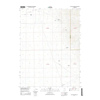
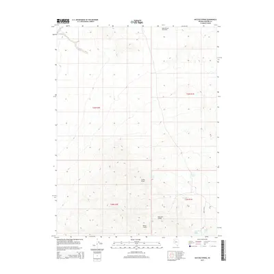
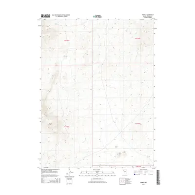
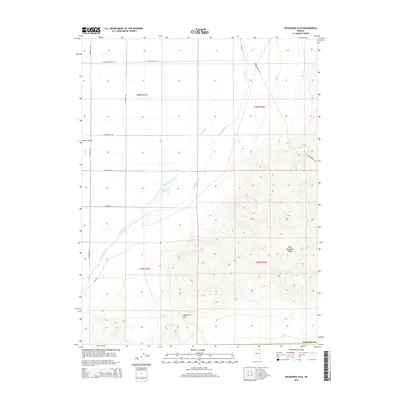
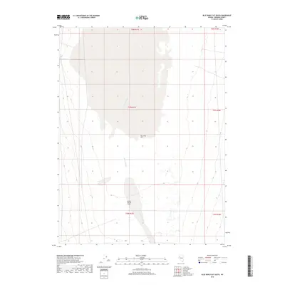
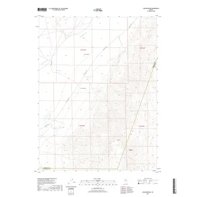
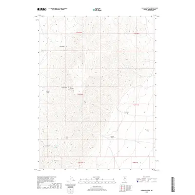
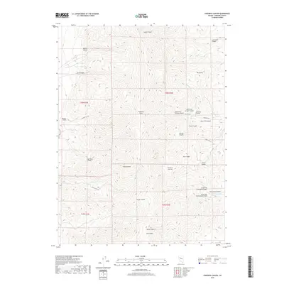
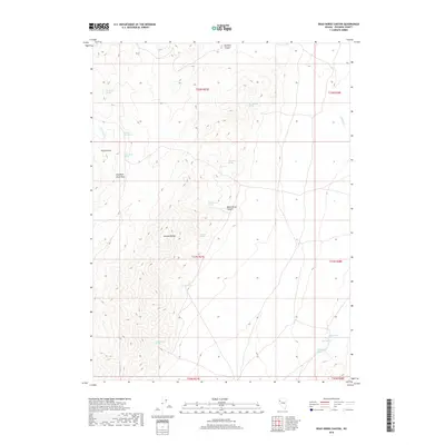
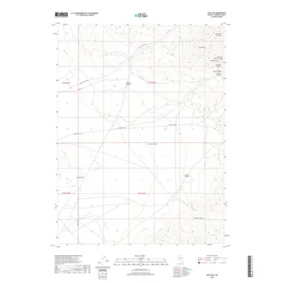
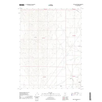
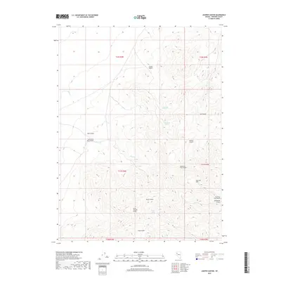
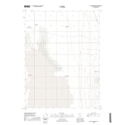
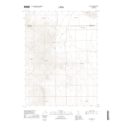
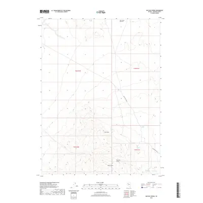
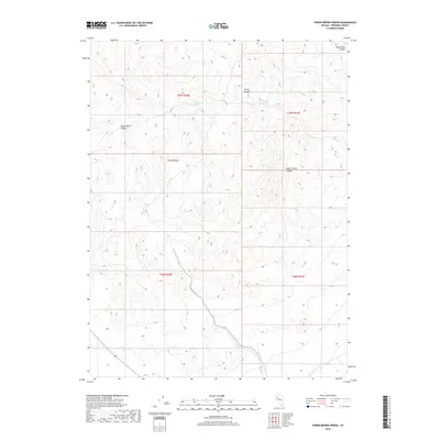
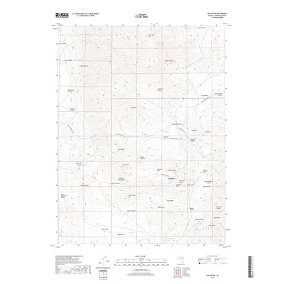
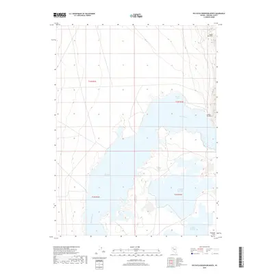
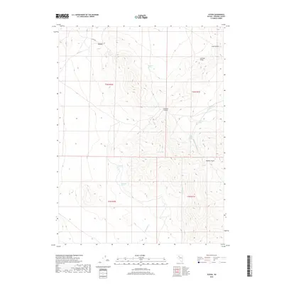
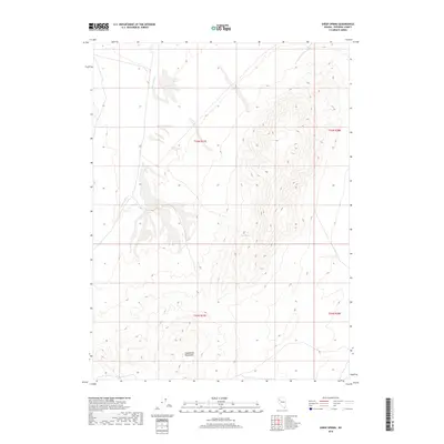
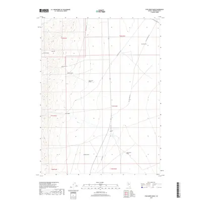
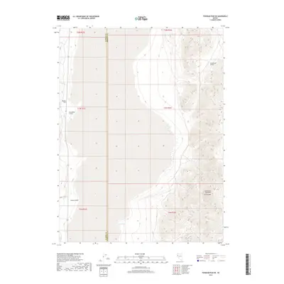
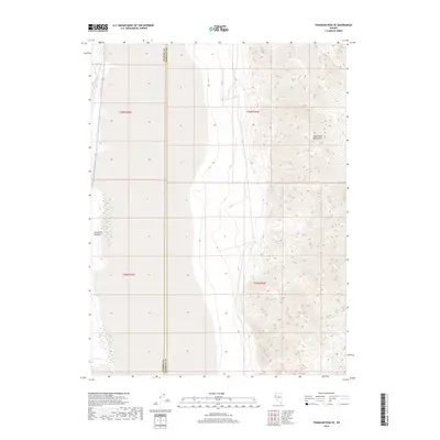
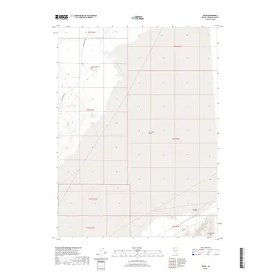
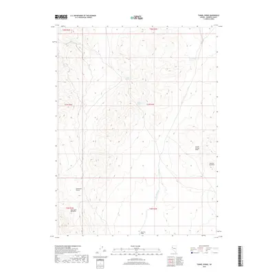
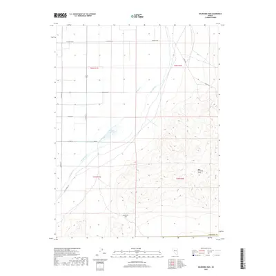
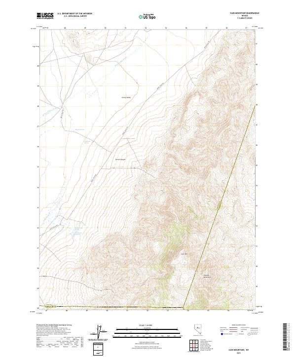
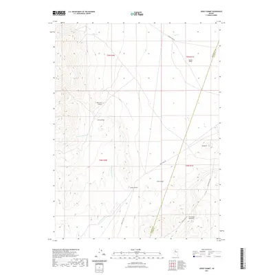
1961 Map of Cain Mountain
USGS Topo · Published 1963About this map
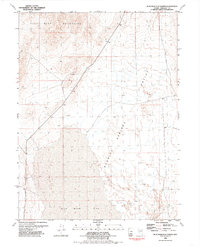
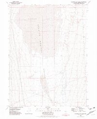
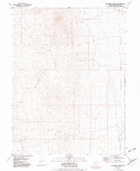
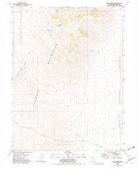
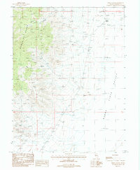
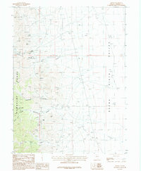
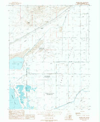
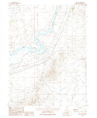
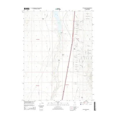
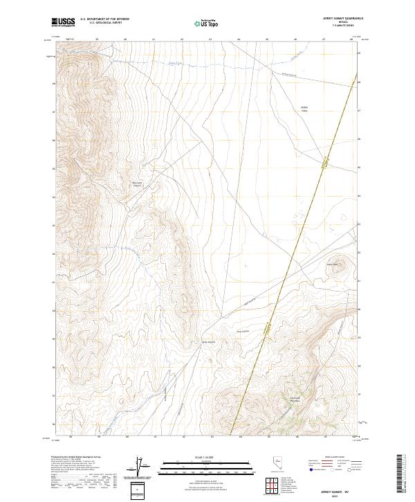
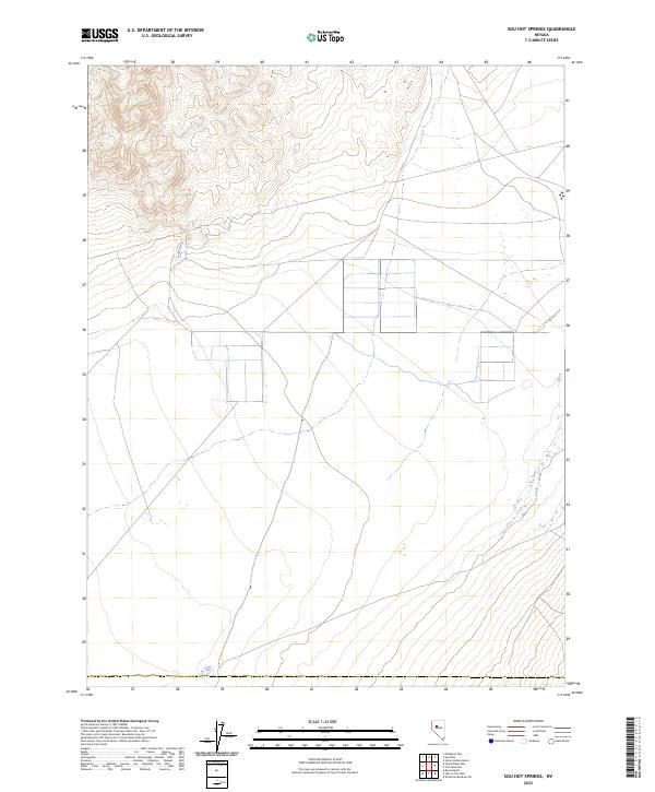
Augusta Mountains and the Tobiyabe Range dominate this high-desert basin-and-range landscape, where water dictates the location of early ranching outposts. This early 1960s survey records the isolated geography of Jersey Valley, Dixie Valley, and Pleasant Valley, linked by a network of unimproved roads and a Jeep Trail. Thermal activity is a defining characteristic of the area, evidenced by Sou Hot Springs in the Sou Hills and several other unnamed springs that supported remote operations like Seven Devils Ranch and Little McCoy Ranch. Far from any major highway, the map reveals a quiet era of Great Basin life where airway beacons and cattle stations were the primary landmarks. The presence of Home Station Ranch near Home Station Wash and the McCoy Well further underscores the sparse but strategic human presence in these desolate valleys.
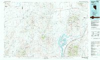
Find a feature on this map
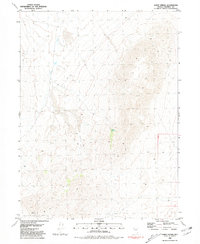
29 named features on this map. Tap any name to fly to it.
Don’t see what you’re looking for? This feature index may not catch every label — zoom into the map to look around manually.
Map Details
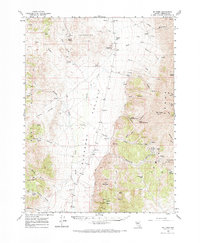
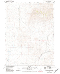
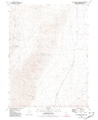
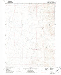
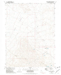
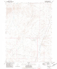
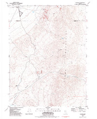
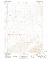
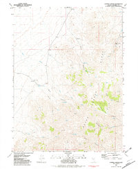
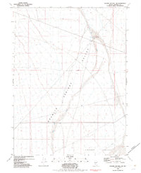
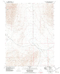
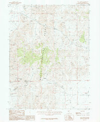
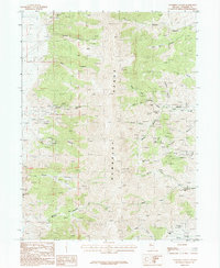
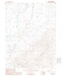
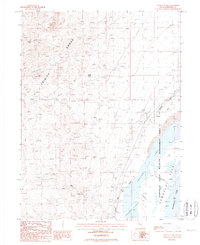
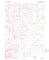
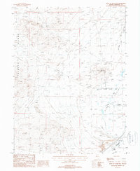
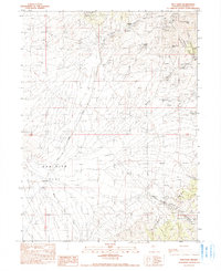
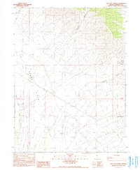
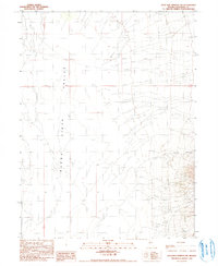
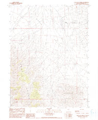
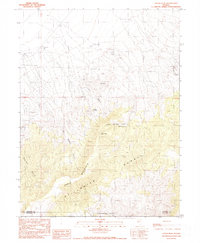
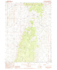
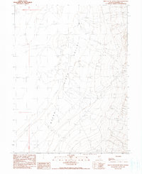
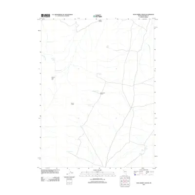
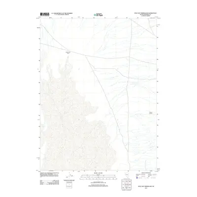
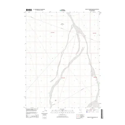
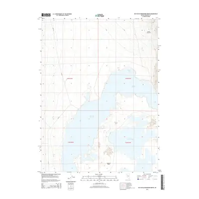
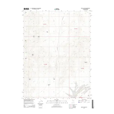
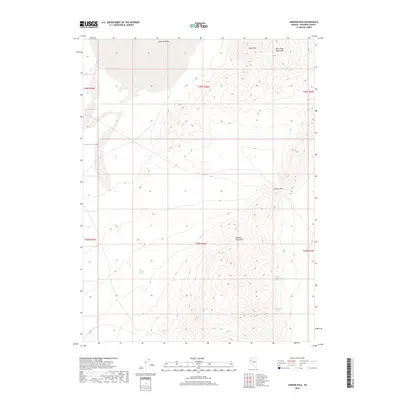
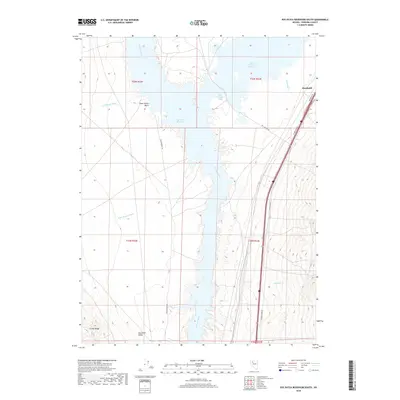
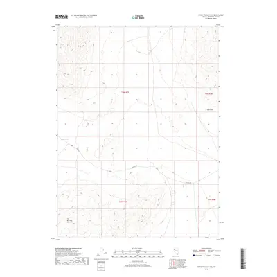
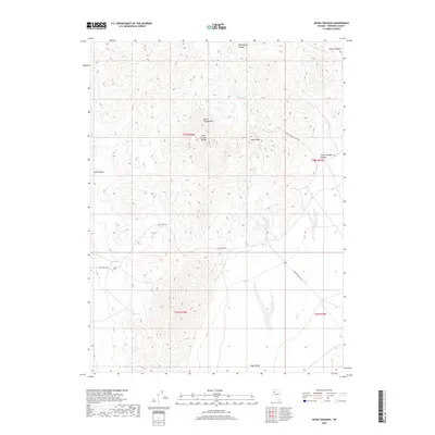
Editions of this 1961 Cain Mountain Map
2 editions found
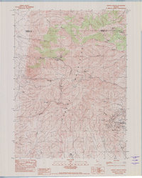
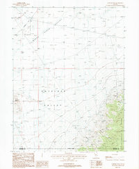
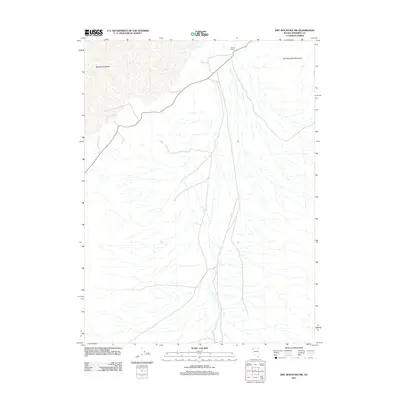
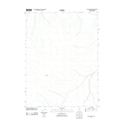
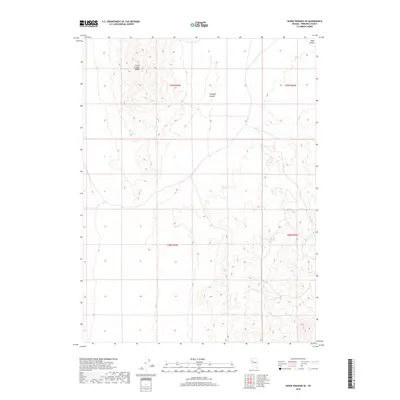
Historical Maps of Churchill County Through Time
529 maps found
1932 Sonoma Range
Pershing County, NV
1939 Eugene Mountains Area
Pershing County, NV
1939 Sonoma Range
Pershing County, NV
1942 Eugene Mountains Area
Pershing County, NV
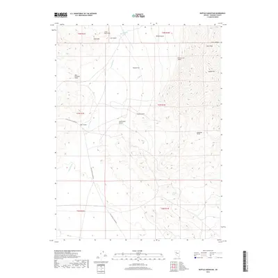
1954 Buffalo Mtn
Pershing County, NV
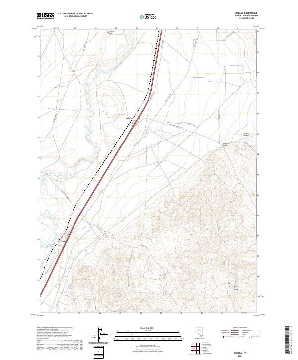
1956 Oreana
Pershing County, NV
1956 Toulon
Pershing County, NV
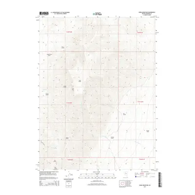
1961 Cain Mountain
Pershing County, NV
1961 Dun Glen
Pershing County, NV
1961 Fencemaker
Pershing County, NV
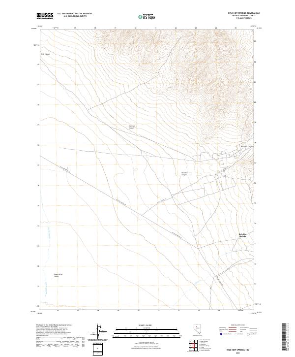
1961 Kyle Hot Springs
Pershing County, NV
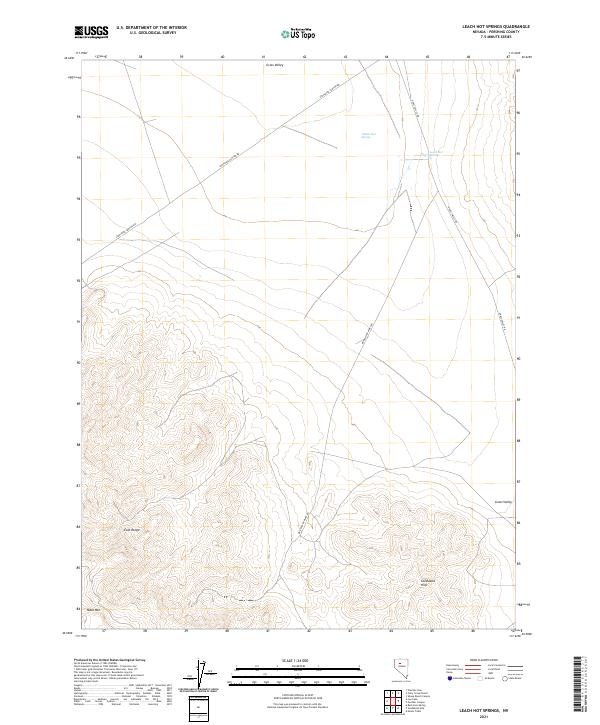
1961 Leach Hot Springs
Pershing County, NV
1961 Mt. Tobin
Pershing County, NV
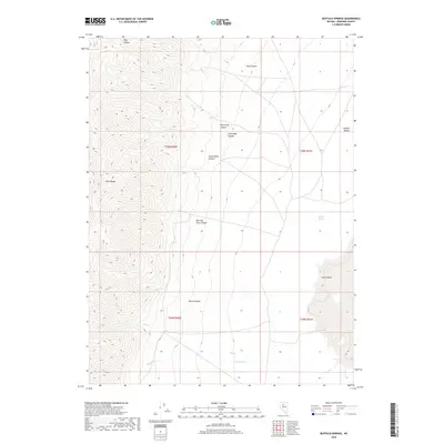
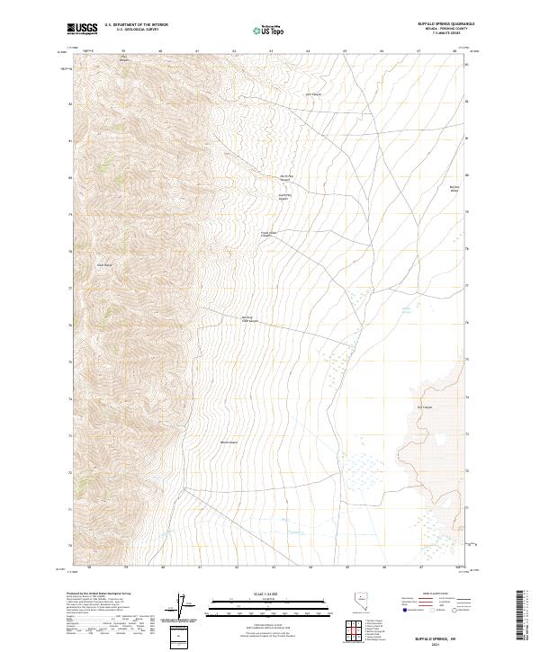
1962 Buffalo Springs
Pershing County, NV

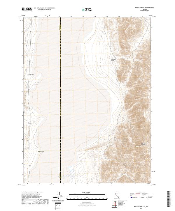
1964 Tohakum Peak NE
Pershing County, NV
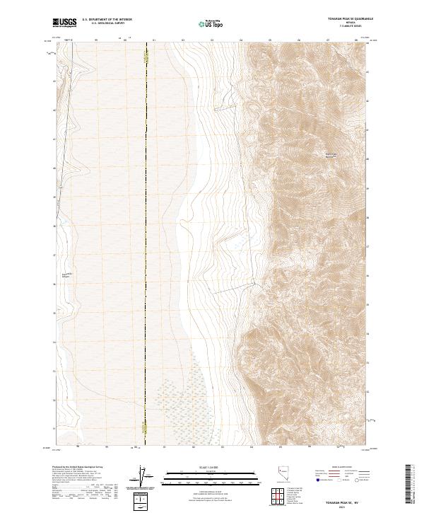
1964 Tohakum Peak SE
Pershing County, NV
1965 Cherry Creek SE
Pershing County, NV
1965 China Mountain
Pershing County, NV
1971 Alpha Mountain
Pershing County, NV
1971 Long Canyon
Pershing County, NV
1971 Majuba Mtn
Pershing County, NV
1971 Poker Brown
Pershing County, NV
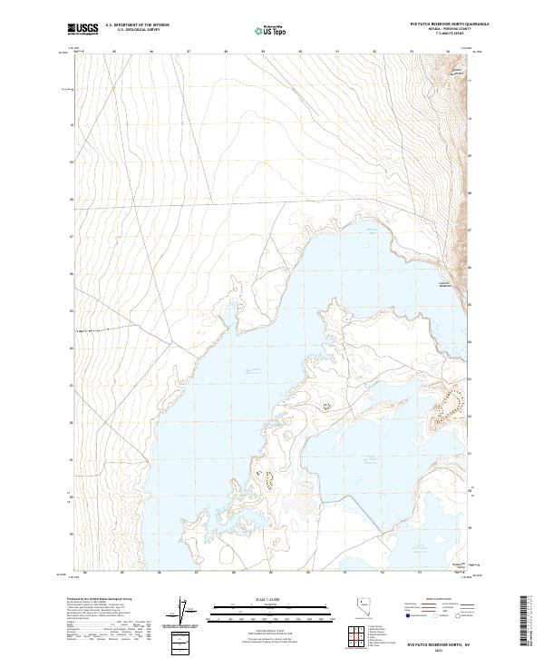
1971 Rye Patch Reservoir North
Pershing County, NV
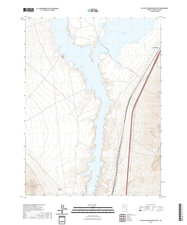
1971 Rye Patch Reservoir South
Pershing County, NV
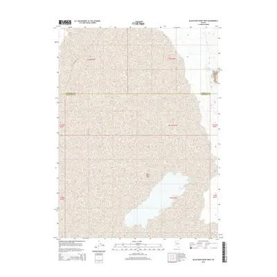
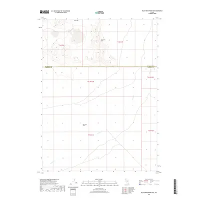
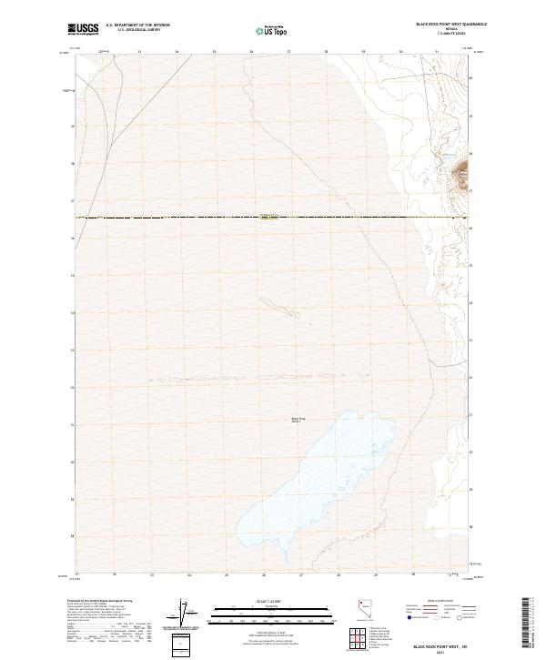
1980 Black Rock Point West
Pershing County, NV

1980 Dry Mountain NW
Pershing County, NV
1980 Dry Mountain
Pershing County, NV
1980 Eagle Rock Spring
Pershing County, NV
1980 Mormon Dan Peak
Pershing County, NV
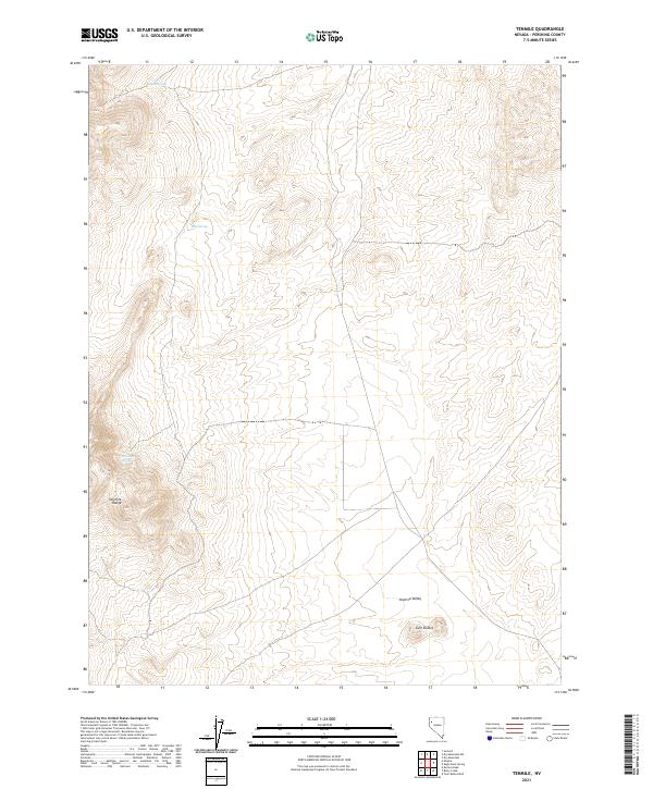
1980 Tenmile
Pershing County, NV
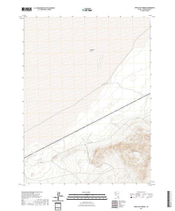
1980 Trego Hot Spring
Pershing County, NV

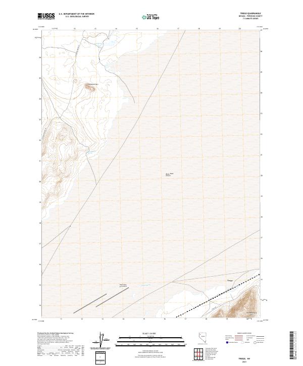
1980 Trego
Pershing County, NV
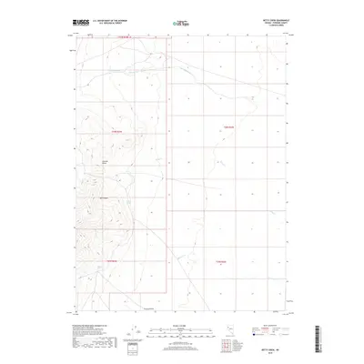
1981 Betty Creek
Pershing County, NV
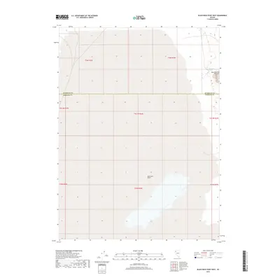
1981 Black Rock Point East
Pershing County, NV
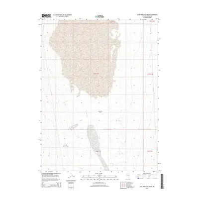
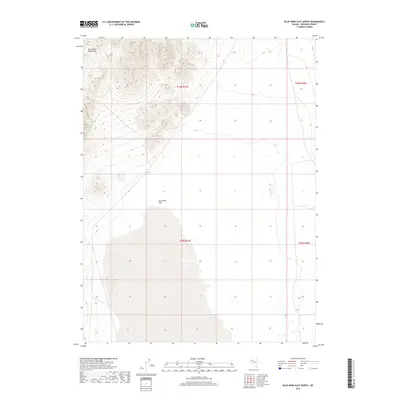
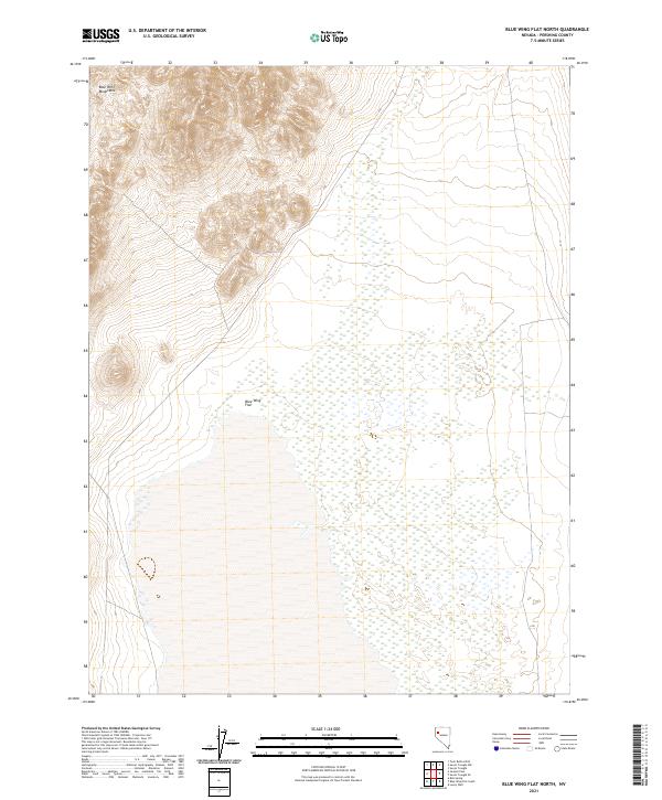
1981 Blue Wing Flat North
Pershing County, NV
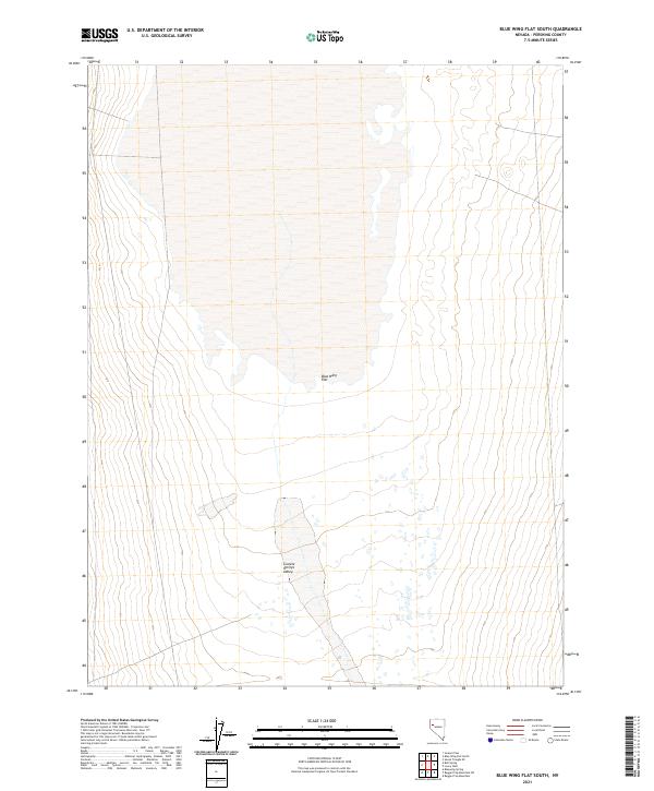
1981 Bluewing Flat South
Pershing County, NV
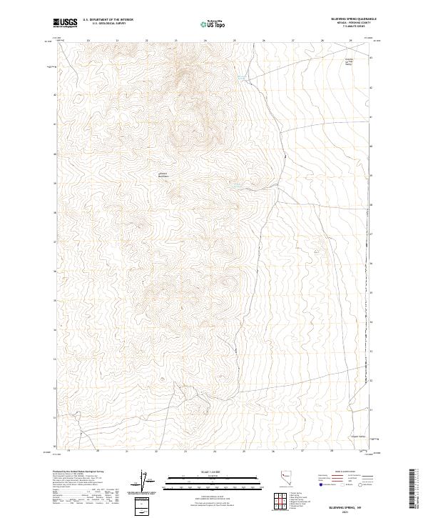
1981 Bluewing Spring
Pershing County, NV
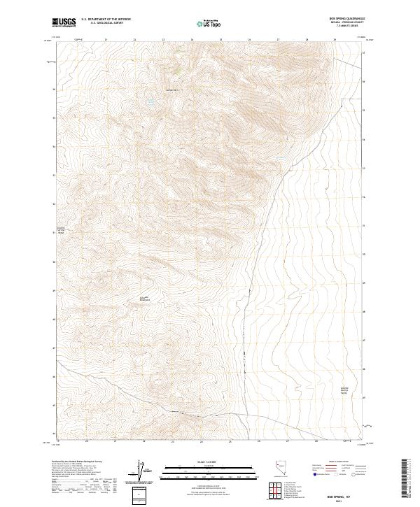
1981 Bob Spring
Pershing County, NV
1981 Cholona
Pershing County, NV
1981 Dead Horse Canyon NE
Pershing County, NV
1981 Dead Horse Canyon
Pershing County, NV
1981 Jayhawk Well
Pershing County, NV
1981 Juniper Pass
Pershing County, NV
1981 Lowry Well
Pershing County, NV
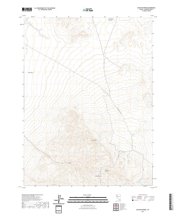
1981 Natchez Spring
Pershing County, NV
1981 Placerites
Pershing County, NV
1981 Poker Brown Gap
Pershing County, NV
1981 Poker Brown Spring
Pershing County, NV
1981 Rabbithole
Pershing County, NV
1981 Ragged Top Mtn
Pershing County, NV
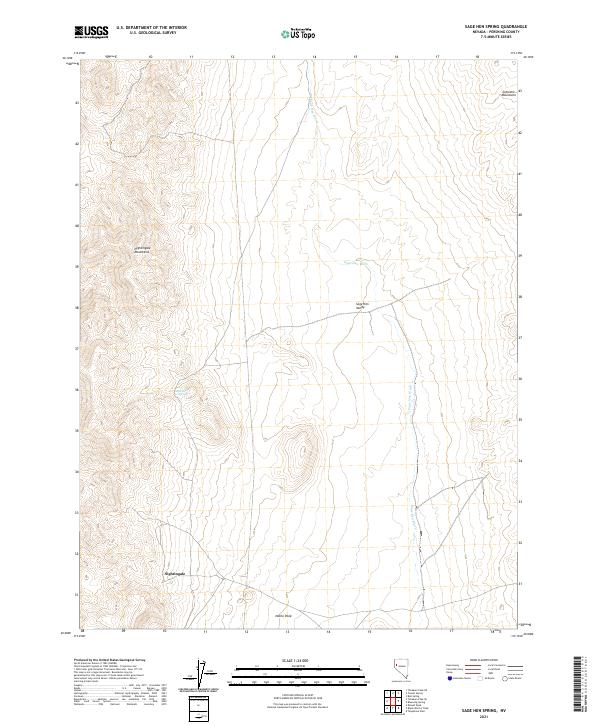
1981 Sage Hen Spring
Pershing County, NV
1981 Sawtooth Knob
Pershing County, NV
1981 Scossa
Pershing County, NV
1981 Seven Troughs
Pershing County, NV
1981 Seven Troughs SE
Pershing County, NV
1981 Sheep Spring
Pershing County, NV
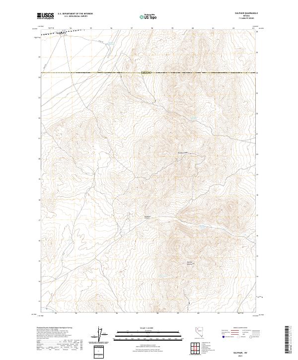
1981 Sulphur
Pershing County, NV
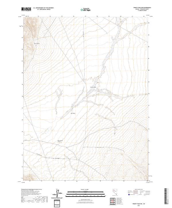
1981 Trinity Pass NW
Pershing County, NV

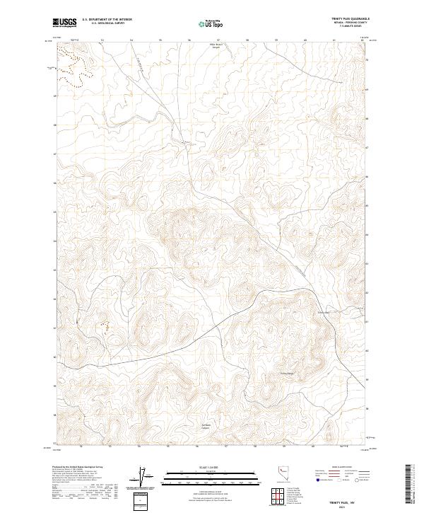
1981 Trinity Pass
Pershing County, NV
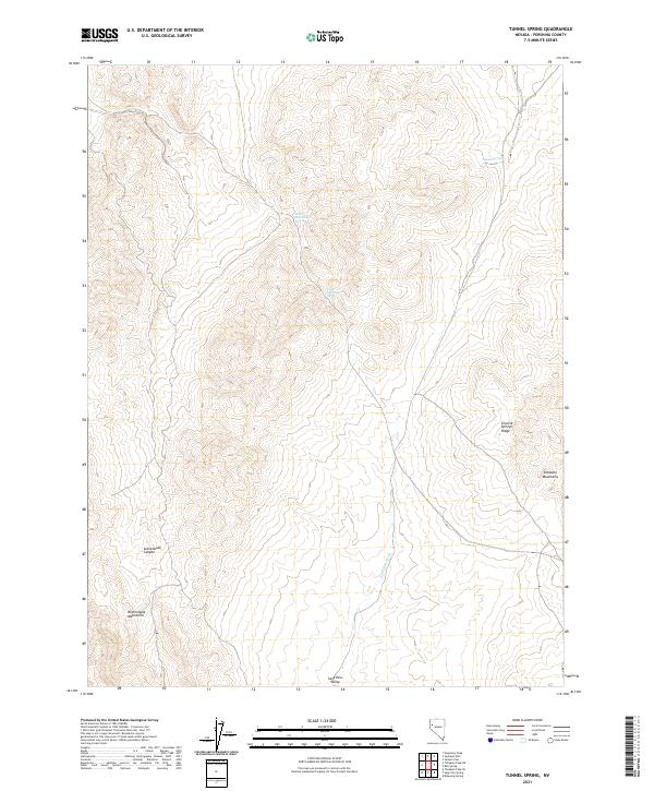
1981 Tunnel Spring
Pershing County, NV
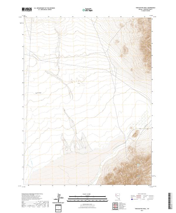
1981 Twin Buttes Well
Pershing County, NV
1982 Cosgrave
Pershing County, NV
1982 Dun Glen Peak
Pershing County, NV
1982 Fish Creek Mts
Pershing County, NV
1982 Juniper Canyon
Pershing County, NV
1982 Ragged Top Mtn SW
Pershing County, NV
1982 Rocky Canyon
Pershing County, NV
1982 Rose Creek Mtn
Pershing County, NV
1982 Seven Troughs NW
Pershing County, NV
1982 Tenmile
Pershing County, NV
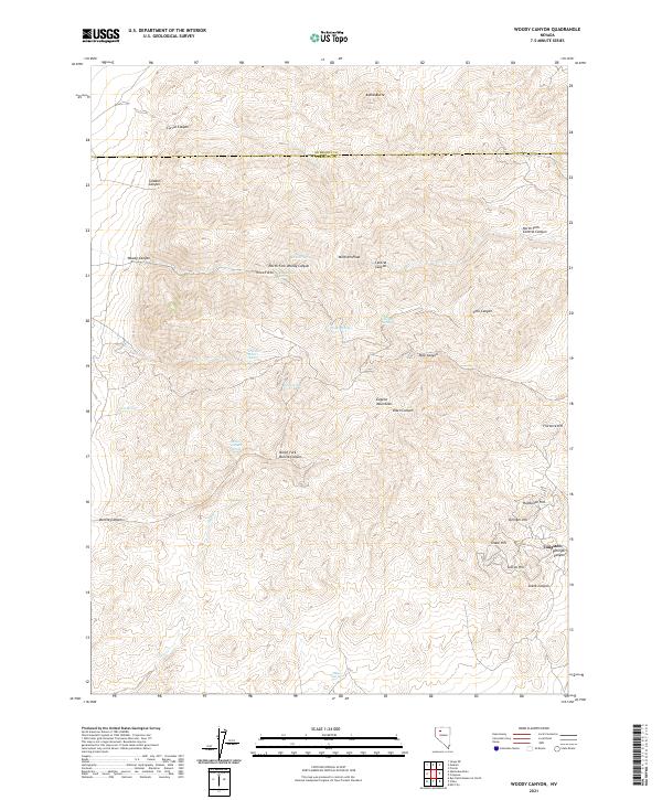
1982 Woody Canyon
Pershing County, NV
1983 Sonoma Canyon
Pershing County, NV
1985 Eugene Mts
Pershing County, NV
1987 Arabia
Pershing County, NV
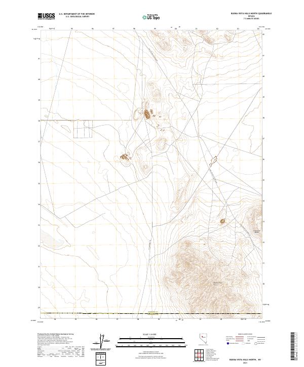
1987 Buena Vista Hills North
Pershing County, NV
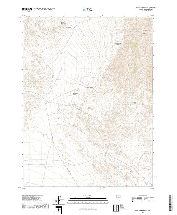
1987 Buffalo Mountain
Pershing County, NV
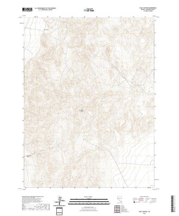
1987 Coal Canyon
Pershing County, NV
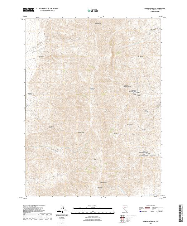
1987 Congress Canyon
Pershing County, NV
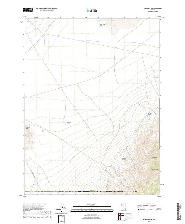
1987 Cornish Peak
Pershing County, NV
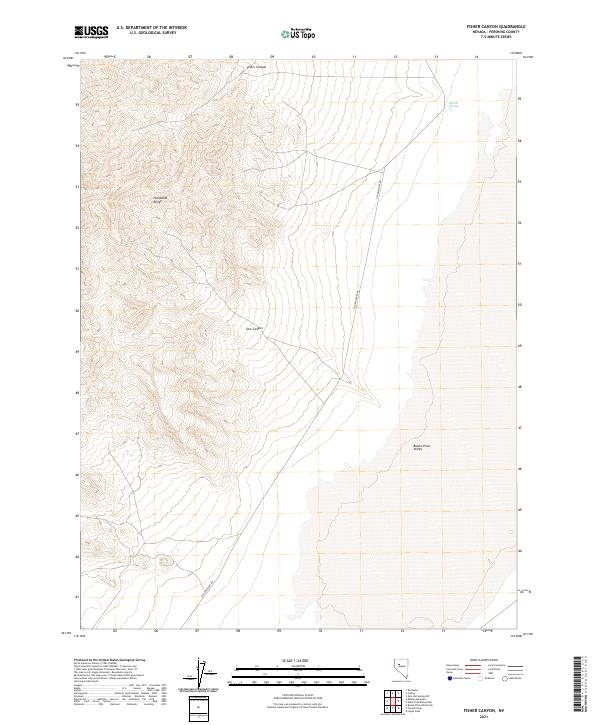
1987 Fisher Canyon
Pershing County, NV
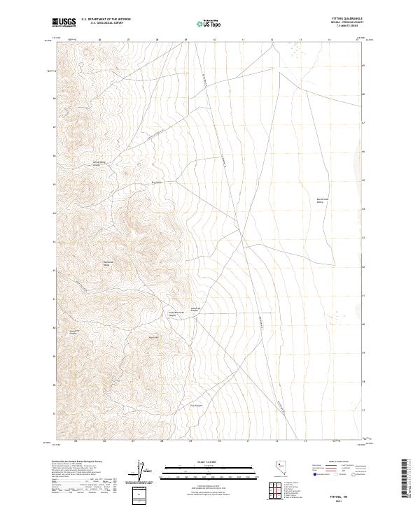
1987 Fitting
Pershing County, NV
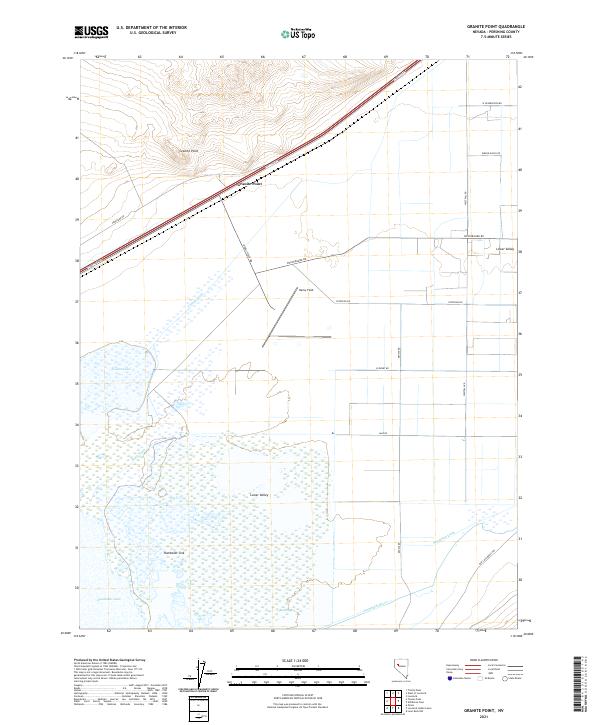
1987 Granite Point
Pershing County, NV
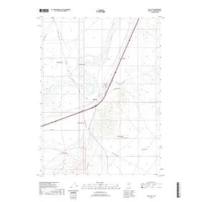
1987 Mill City
Pershing County, NV
1987 Oreana NW
Pershing County, NV
1987 Oreana
Pershing County, NV
1987 Rochester
Pershing County, NV

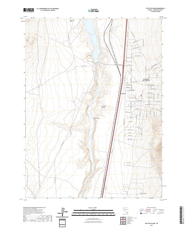
1987 Rye Patch Dam
Pershing County, NV
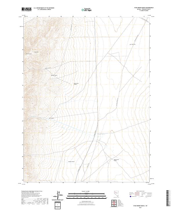
1987 Star Creek Ranch
Pershing County, NV
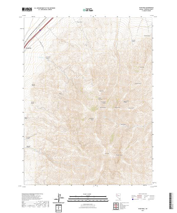
1987 Star Peak
Pershing County, NV
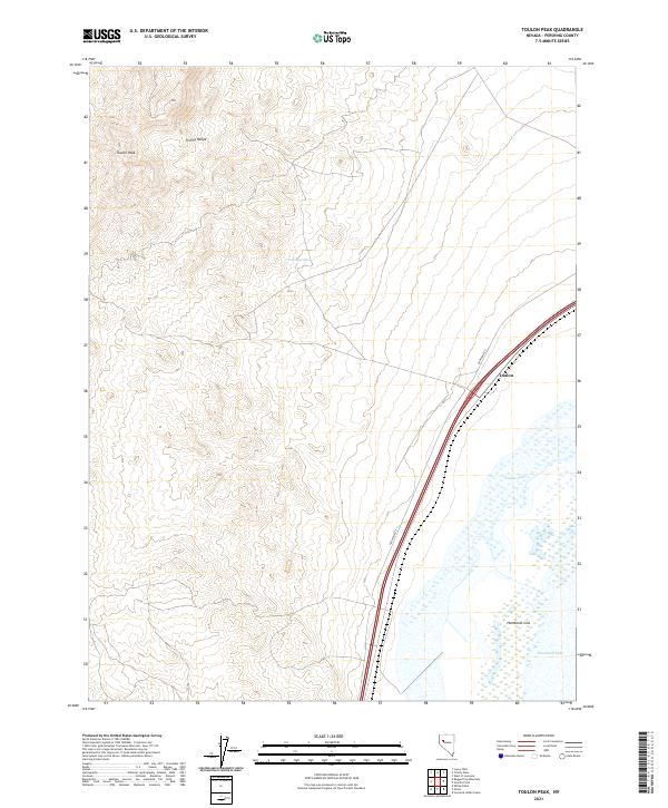
1987 Toulon Peak
Pershing County, NV
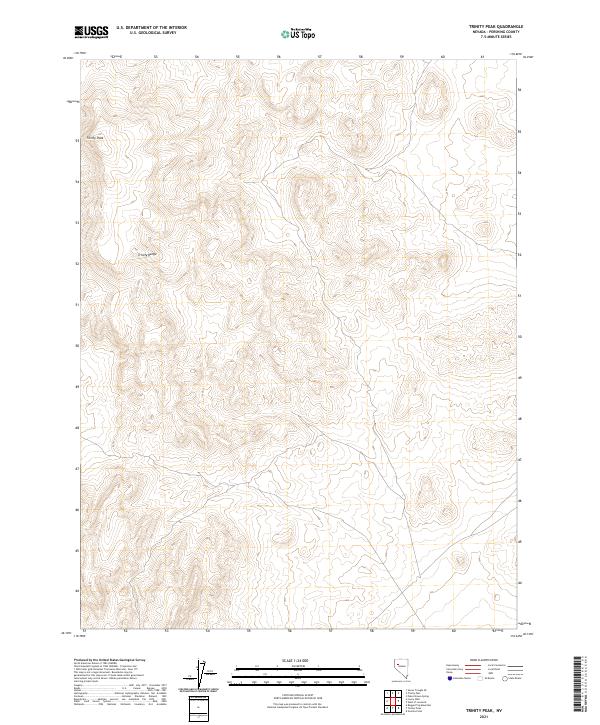
1987 Trinity Peak
Pershing County, NV
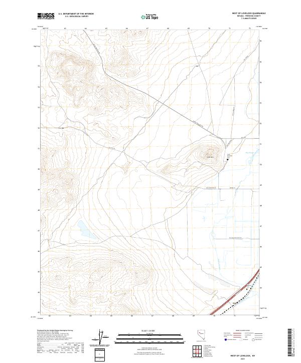
1987 West of Lovelock
Pershing County, NV

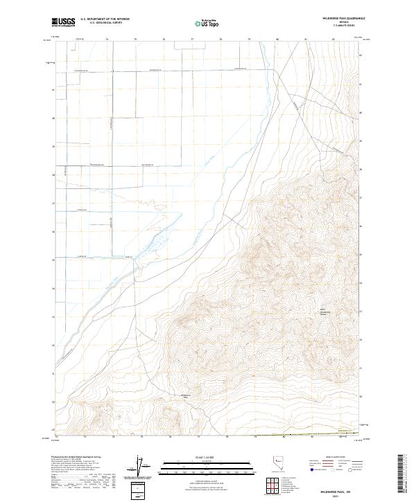
1987 Wildhorse Pass
Pershing County, NV
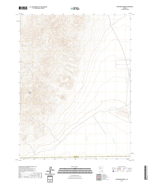
1987 Wildhorse Spring
Pershing County, NV
1990 Bartomes Spring
Pershing County, NV
1990 Buffalo Springs
Pershing County, NV
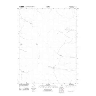
1990 Cain Mountain
Pershing County, NV
1990 Clear Creek Ranch
Pershing County, NV
1990 Dun Glen
Pershing County, NV
1990 Fencemaker Pass
Pershing County, NV
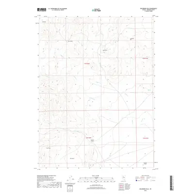
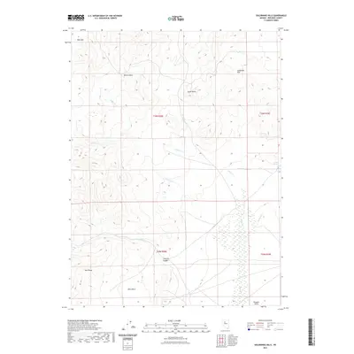
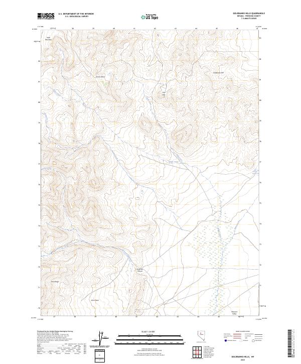
1990 Goldbanks Hills
Pershing County, NV
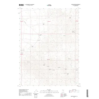
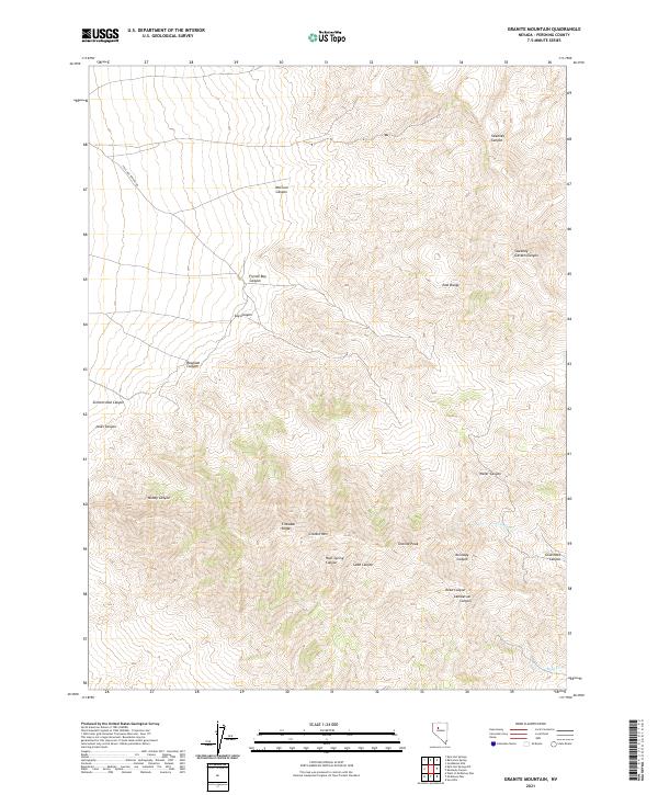
1990 Granite Mountain
Pershing County, NV
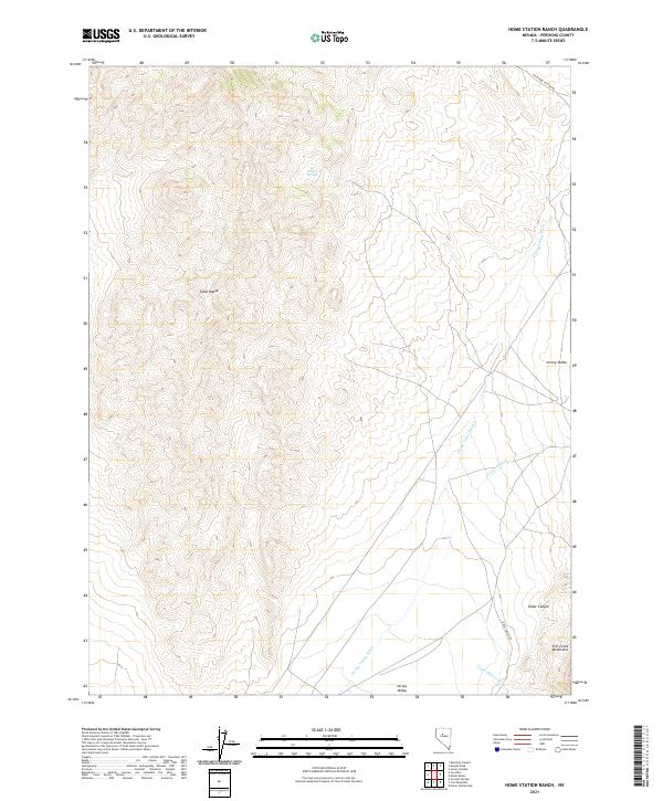
1990 Home Station Ranch
Pershing County, NV
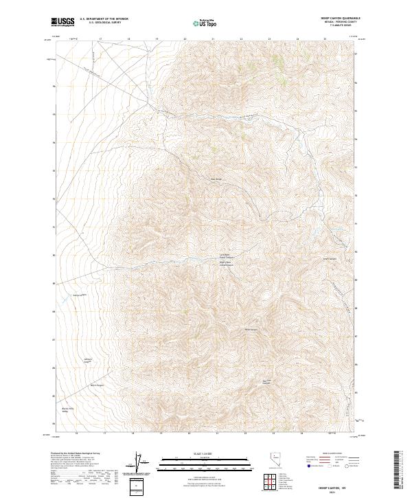
1990 Inskip Canyon
Pershing County, NV
1990 Jersey Summit
Pershing County, NV
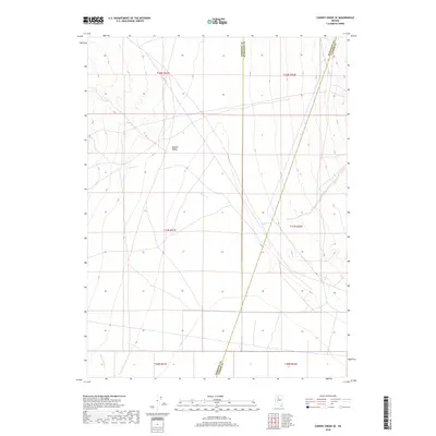
1990 Kennedy Canyon
Pershing County, NV
1990 Kyle Hot Springs
Pershing County, NV
1990 Kyle Hot Springs SW
Pershing County, NV
1990 Leach Hot Springs
Pershing County, NV
1990 Lee Peak
Pershing County, NV
1990 Logan Peak
Pershing County, NV
1990 McKinney Pass
Pershing County, NV
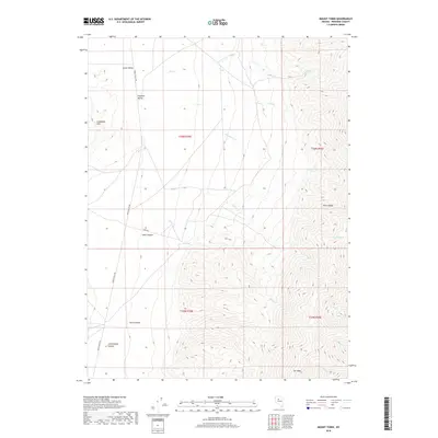
1990 Mt. Tobin
Pershing County, NV
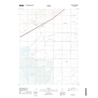
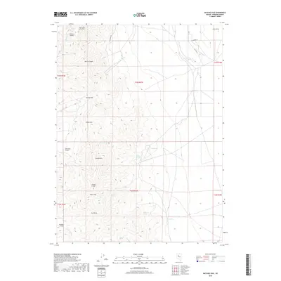
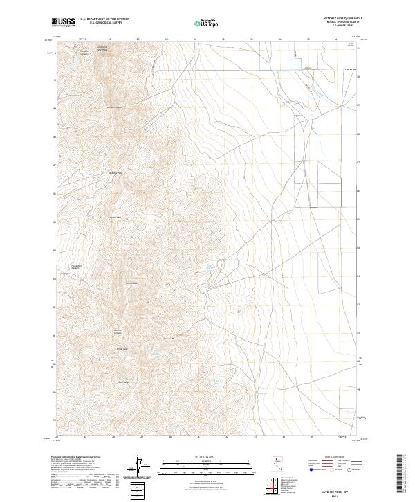
1990 Natchez Pass
Pershing County, NV
1990 Needle Peak
Pershing County, NV
1990 Panther Canyon
Pershing County, NV
1990 Sou Hills
Pershing County, NV
1990 Sou Hot Springs
Pershing County, NV
1990 West of McKinney Pass
Pershing County, NV
2011 Alpha Mountain
Pershing County, NV
2011 Arabia
Pershing County, NV
2011 Bartomes Spring
Pershing County, NV
2011 Betty Creek
Pershing County, NV
2011 Black Rock Point East
Pershing County, NV
2011 Black Rock Point West
Pershing County, NV
2011 Blue Wing Flat North
Pershing County, NV
2011 Blue Wing Flat South
Pershing County, NV
2011 Bluewing Spring
Pershing County, NV
2011 Bob Spring
Pershing County, NV
2011 Buena Vista Hills North
Pershing County, NV
2011 Buffalo Mountain
Pershing County, NV
2011 Buffalo Springs
Pershing County, NV
2011 Cain Mountain
Pershing County, NV
2011 Cherry Creek SE
Pershing County, NV
2011 China Mountain
Pershing County, NV
2011 Cholona
Pershing County, NV
2011 Clear Creek Ranch
Pershing County, NV
2011 Coal Canyon
Pershing County, NV
2011 Congress Canyon
Pershing County, NV
2011 Cornish Peak
Pershing County, NV
2011 Cosgrave
Pershing County, NV
2011 Dead Horse Canyon NE
Pershing County, NV
2011 Dead Horse Canyon
Pershing County, NV
2011 Dry Mountain NW
Pershing County, NV
2011 Dry Mountain
Pershing County, NV
2011 Dun Glen Peak
Pershing County, NV
2011 Dun Glen
Pershing County, NV
2011 Eagle Rock Spring
Pershing County, NV
2011 Fencemaker Pass
Pershing County, NV
2011 Fisher Canyon
Pershing County, NV
2011 Fitting
Pershing County, NV
2011 Goldbanks Hills
Pershing County, NV
2011 Granite Mountain
Pershing County, NV
2011 Granite Point
Pershing County, NV
2011 Home Station Ranch
Pershing County, NV
2011 Inskip Canyon
Pershing County, NV
2011 Jayhawk Well
Pershing County, NV
2011 Jersey Summit
Pershing County, NV
2011 Juniper Canyon
Pershing County, NV
2011 Juniper Pass
Pershing County, NV
2011 Kennedy Canyon
Pershing County, NV
2011 Kyle Hot Springs
Pershing County, NV
2011 Kyle Hot Springs SW
Pershing County, NV
2011 Leach Hot Springs
Pershing County, NV
2011 Lee Peak
Pershing County, NV
2011 Logan Peak
Pershing County, NV
2011 Long Canyon
Pershing County, NV
2011 Lowry Well
Pershing County, NV
2011 Majuba Mountain
Pershing County, NV
2011 McKinney Pass
Pershing County, NV
2011 Mill City
Pershing County, NV
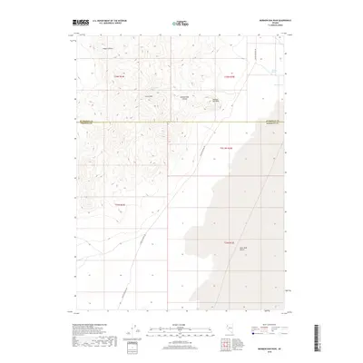
2011 Mormon Dan Peak
Pershing County, NV
2011 Mount Tobin
Pershing County, NV
2011 Natchez Pass
Pershing County, NV
2011 Natchez Spring
Pershing County, NV
2011 Needle Peak
Pershing County, NV
2011 Oreana NW
Pershing County, NV
2011 Oreana
Pershing County, NV
2011 Panther Canyon
Pershing County, NV
2011 Placerites
Pershing County, NV
2011 Poker Brown Gap
Pershing County, NV
2011 Poker Brown
Pershing County, NV
2011 Poker Brown Spring
Pershing County, NV
2011 Rabbithole
Pershing County, NV
2011 Ragged Top Mountain
Pershing County, NV
2011 Ragged Top Mountain SW
Pershing County, NV
2011 Rochester
Pershing County, NV
2011 Rocky Canyon
Pershing County, NV
2011 Rose Creek Mountain
Pershing County, NV
2011 Rye Patch Dam
Pershing County, NV
2011 Rye Patch Reservoir North
Pershing County, NV
2011 Rye Patch Reservoir South
Pershing County, NV
2011 Sage Hen Spring
Pershing County, NV
2011 Sawtooth Knob
Pershing County, NV
2011 Scossa
Pershing County, NV
2011 Seven Troughs NW
Pershing County, NV
2011 Seven Troughs
Pershing County, NV
2011 Seven Troughs SE
Pershing County, NV
2011 Sheep Spring
Pershing County, NV
2011 Sonoma Canyon
Pershing County, NV
2011 Sou Hills
Pershing County, NV
2011 Sou Hot Springs
Pershing County, NV
2011 Star Creek Ranch
Pershing County, NV
2011 Star Peak
Pershing County, NV
2011 Sulphur
Pershing County, NV
2011 Tenmile
Pershing County, NV
2011 Tohakum Peak NE
Pershing County, NV
2011 Tohakum Peak SE
Pershing County, NV
2011 Toulon Peak
Pershing County, NV
2011 Trego Hot Springs
Pershing County, NV
2011 Trego
Pershing County, NV
2011 Trinity Pass NW
Pershing County, NV
2011 Trinity Pass
Pershing County, NV
2011 Trinity Peak
Pershing County, NV
2011 Tunnel Spring
Pershing County, NV
2011 Twin Buttes Well
Pershing County, NV
2011 West of Lovelock
Pershing County, NV
2011 West of McKinney Pass
Pershing County, NV
2011 Wildhorse Pass
Pershing County, NV
2011 Wildhorse Spring
Pershing County, NV
2011 Woody Canyon
Pershing County, NV
2014 Alpha Mountain
Pershing County, NV
2014 Arabia
Pershing County, NV
2014 Bartomes Spring
Pershing County, NV
2014 Betty Creek
Pershing County, NV
2014 Black Rock Point East
Pershing County, NV
2014 Blue Wing Flat North
Pershing County, NV
2014 Bluewing Spring
Pershing County, NV
2014 Bob Spring
Pershing County, NV
2014 Buena Vista Hills North
Pershing County, NV
2014 Buffalo Mountain
Pershing County, NV
2014 Buffalo Springs
Pershing County, NV
2014 Cherry Creek SE
Pershing County, NV
2014 Cholona
Pershing County, NV
2014 Coal Canyon
Pershing County, NV
2014 Cornish Peak
Pershing County, NV
2014 Cosgrave
Pershing County, NV
2014 Dead Horse Canyon NE
Pershing County, NV
2014 Dry Mountain NW
Pershing County, NV
2014 Dry Mountain
Pershing County, NV
2014 Dun Glen Peak
Pershing County, NV
2014 Dun Glen
Pershing County, NV
2014 Eagle Rock Spring
Pershing County, NV
2014 Fencemaker Pass
Pershing County, NV
2014 Fisher Canyon
Pershing County, NV
2014 Fitting
Pershing County, NV
2014 Goldbanks Hills
Pershing County, NV
2014 Granite Point
Pershing County, NV
2014 Home Station Ranch
Pershing County, NV
2014 Inskip Canyon
Pershing County, NV
2014 Jayhawk Well
Pershing County, NV
2014 Jersey Summit
Pershing County, NV
2014 Juniper Canyon
Pershing County, NV
2014 Juniper Pass
Pershing County, NV
2014 Kennedy Canyon
Pershing County, NV
2014 Kyle Hot Springs
Pershing County, NV
2014 Kyle Hot Springs SW
Pershing County, NV
2014 Leach Hot Springs
Pershing County, NV
2014 Lee Peak
Pershing County, NV
2014 Logan Peak
Pershing County, NV
2014 Long Canyon
Pershing County, NV
2014 Lowry Well
Pershing County, NV
2014 Majuba Mountain
Pershing County, NV
2014 McKinney Pass
Pershing County, NV
2014 Mill City
Pershing County, NV
2014 Mormon Dan Peak
Pershing County, NV
2014 Mount Tobin
Pershing County, NV
2014 Natchez Pass
Pershing County, NV
2014 Needle Peak
Pershing County, NV
2014 Oreana NW
Pershing County, NV
2014 Oreana
Pershing County, NV
2014 Panther Canyon
Pershing County, NV
2014 Placerites
Pershing County, NV
2014 Poker Brown Gap
Pershing County, NV
2014 Poker Brown
Pershing County, NV
2014 Poker Brown Spring
Pershing County, NV
2014 Rabbithole
Pershing County, NV
2014 Ragged Top Mountain
Pershing County, NV
2014 Ragged Top Mountain SW
Pershing County, NV
2014 Rochester
Pershing County, NV
2014 Rose Creek Mountain
Pershing County, NV
2014 Rye Patch Dam
Pershing County, NV
2014 Rye Patch Reservoir North
Pershing County, NV

2014 Rye Patch Reservoir South
Pershing County, NV
2014 Sawtooth Knob
Pershing County, NV
2014 Scossa
Pershing County, NV
2014 Seven Troughs NW
Pershing County, NV
2014 Seven Troughs SE
Pershing County, NV
2014 Sheep Spring
Pershing County, NV
2014 Sonoma Canyon
Pershing County, NV
2014 Sou Hills
Pershing County, NV
2014 Sou Hot Springs
Pershing County, NV
2014 Star Creek Ranch
Pershing County, NV
2014 Star Peak
Pershing County, NV
2014 Sulphur
Pershing County, NV
2014 Tohakum Peak NE
Pershing County, NV
2014 Tohakum Peak SE
Pershing County, NV
2014 Toulon Peak
Pershing County, NV
2014 Trego
Pershing County, NV
2014 Trinity Pass NW
Pershing County, NV
2014 Trinity Pass
Pershing County, NV
2014 Trinity Peak
Pershing County, NV
2014 Tunnel Spring
Pershing County, NV
2014 West of McKinney Pass
Pershing County, NV
2014 Wildhorse Spring
Pershing County, NV
2014 Woody Canyon
Pershing County, NV
2015 Black Rock Point West
Pershing County, NV
2015 Blue Wing Flat South
Pershing County, NV
2015 Cain Mountain
Pershing County, NV
2015 China Mountain
Pershing County, NV
2015 Clear Creek Ranch
Pershing County, NV
2015 Congress Canyon
Pershing County, NV
2015 Dead Horse Canyon
Pershing County, NV
2015 Granite Mountain
Pershing County, NV
2015 Natchez Spring
Pershing County, NV
2015 Rocky Canyon
Pershing County, NV
2015 Sage Hen Spring
Pershing County, NV
2015 Seven Troughs
Pershing County, NV
2015 Tenmile
Pershing County, NV
2015 Trego Hot Springs
Pershing County, NV
2015 Twin Buttes Well
Pershing County, NV
2015 West of Lovelock
Pershing County, NV
2015 Wildhorse Pass
Pershing County, NV
2018 Alpha Mountain
Pershing County, NV
2018 Arabia
Pershing County, NV
2018 Bartomes Spring
Pershing County, NV
2018 Betty Creek
Pershing County, NV
2018 Black Rock Point East
Pershing County, NV
2018 Black Rock Point West
Pershing County, NV
2018 Blue Wing Flat North
Pershing County, NV
2018 Blue Wing Flat South
Pershing County, NV
2018 Bluewing Spring
Pershing County, NV
2018 Bob Spring
Pershing County, NV
2018 Buena Vista Hills North
Pershing County, NV
2018 Buffalo Mountain
Pershing County, NV
2018 Buffalo Springs
Pershing County, NV
2018 Cain Mountain
Pershing County, NV
2018 Cherry Creek SE
Pershing County, NV
2018 China Mountain
Pershing County, NV
2018 Cholona
Pershing County, NV
2018 Clear Creek Ranch
Pershing County, NV
2018 Coal Canyon
Pershing County, NV
2018 Congress Canyon
Pershing County, NV
2018 Cornish Peak
Pershing County, NV
2018 Cosgrave
Pershing County, NV
2018 Dead Horse Canyon NE
Pershing County, NV
2018 Dead Horse Canyon
Pershing County, NV
2018 Dry Mountain NW
Pershing County, NV
2018 Dry Mountain
Pershing County, NV
2018 Dun Glen Peak
Pershing County, NV
2018 Dun Glen
Pershing County, NV
2018 Eagle Rock Spring
Pershing County, NV
2018 Fencemaker Pass
Pershing County, NV
2018 Fisher Canyon
Pershing County, NV
2018 Fitting
Pershing County, NV
2018 Goldbanks Hills
Pershing County, NV
2018 Granite Mountain
Pershing County, NV
2018 Granite Point
Pershing County, NV
2018 Home Station Ranch
Pershing County, NV
2018 Inskip Canyon
Pershing County, NV
2018 Jayhawk Well
Pershing County, NV
2018 Jersey Summit
Pershing County, NV
2018 Juniper Canyon
Pershing County, NV
2018 Juniper Pass
Pershing County, NV
2018 Kennedy Canyon
Pershing County, NV
2018 Kyle Hot Springs
Pershing County, NV
2018 Kyle Hot Springs SW
Pershing County, NV
2018 Leach Hot Springs
Pershing County, NV
2018 Lee Peak
Pershing County, NV
2018 Logan Peak
Pershing County, NV
2018 Long Canyon
Pershing County, NV
2018 Lowry Well
Pershing County, NV
2018 Majuba Mountain
Pershing County, NV
2018 McKinney Pass
Pershing County, NV
2018 Mill City
Pershing County, NV
2018 Mormon Dan Peak
Pershing County, NV
2018 Mount Tobin
Pershing County, NV
2018 Natchez Pass
Pershing County, NV
2018 Natchez Spring
Pershing County, NV
2018 Needle Peak
Pershing County, NV
2018 Oreana NW
Pershing County, NV
2018 Oreana
Pershing County, NV
2018 Panther Canyon
Pershing County, NV
2018 Placerites
Pershing County, NV
2018 Poker Brown Gap
Pershing County, NV
2018 Poker Brown
Pershing County, NV
2018 Poker Brown Spring
Pershing County, NV
2018 Rabbithole
Pershing County, NV
2018 Ragged Top Mountain
Pershing County, NV
2018 Ragged Top Mountain SW
Pershing County, NV
2018 Rochester
Pershing County, NV
2018 Rocky Canyon
Pershing County, NV
2018 Rose Creek Mountain
Pershing County, NV
2018 Rye Patch Dam
Pershing County, NV
2018 Rye Patch Reservoir North
Pershing County, NV
2018 Rye Patch Reservoir South
Pershing County, NV
2018 Sage Hen Spring
Pershing County, NV
2018 Sawtooth Knob
Pershing County, NV
2018 Scossa
Pershing County, NV
2018 Seven Troughs NW
Pershing County, NV
2018 Seven Troughs
Pershing County, NV
2018 Seven Troughs SE
Pershing County, NV
2018 Sheep Spring
Pershing County, NV
2018 Sonoma Canyon
Pershing County, NV
2018 Sou Hills
Pershing County, NV
2018 Sou Hot Springs
Pershing County, NV
2018 Star Creek Ranch
Pershing County, NV
2018 Star Peak
Pershing County, NV
2018 Sulphur
Pershing County, NV
2018 Tenmile
Pershing County, NV
2018 Tohakum Peak NE
Pershing County, NV
2018 Tohakum Peak SE
Pershing County, NV
2018 Toulon Peak
Pershing County, NV
2018 Trego Hot Springs
Pershing County, NV
2018 Trego
Pershing County, NV
2018 Trinity Pass NW
Pershing County, NV
2018 Trinity Pass
Pershing County, NV
2018 Trinity Peak
Pershing County, NV
2018 Tunnel Spring
Pershing County, NV
2018 Twin Buttes Well
Pershing County, NV
2018 West of Lovelock
Pershing County, NV
2018 West of McKinney Pass
Pershing County, NV
2018 Wildhorse Pass
Pershing County, NV
2018 Wildhorse Spring
Pershing County, NV
2018 Woody Canyon
Pershing County, NV
2021 Alpha Mountain
Pershing County, NV
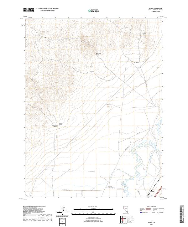
2021 Arabia
Pershing County, NV
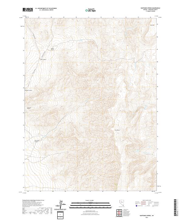
2021 Bartomes Spring
Pershing County, NV
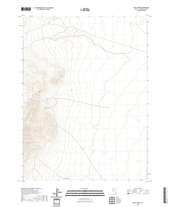
2021 Betty Creek
Pershing County, NV
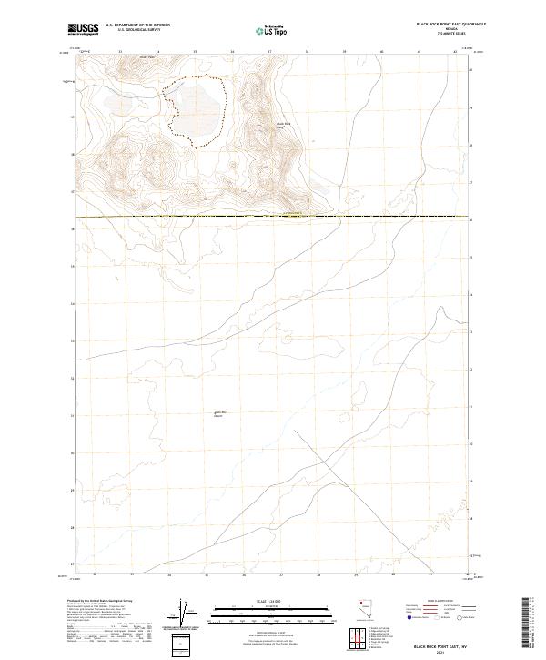
2021 Black Rock Point East
Pershing County, NV
2021 Black Rock Point West
Pershing County, NV
2021 Blue Wing Flat North
Pershing County, NV
2021 Blue Wing Flat South
Pershing County, NV
2021 Bluewing Spring
Pershing County, NV
2021 Bob Spring
Pershing County, NV
2021 Buena Vista Hills North
Pershing County, NV
2021 Buffalo Mountain
Pershing County, NV
2021 Buffalo Springs
Pershing County, NV
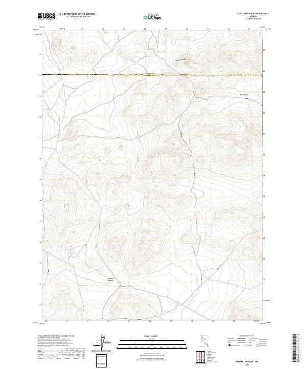
2021 Cain Mountain
Pershing County, NV
2021 Cherry Creek SE
Pershing County, NV
2021 China Mountain
Pershing County, NV
2021 Cholona
Pershing County, NV
2021 Clear Creek Ranch
Pershing County, NV
2021 Coal Canyon
Pershing County, NV
2021 Congress Canyon
Pershing County, NV
2021 Cornish Peak
Pershing County, NV
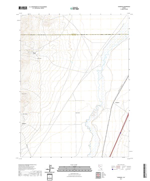
2021 Cosgrave
Pershing County, NV
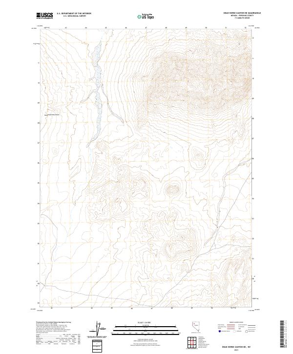
2021 Dead Horse Canyon NE
Pershing County, NV
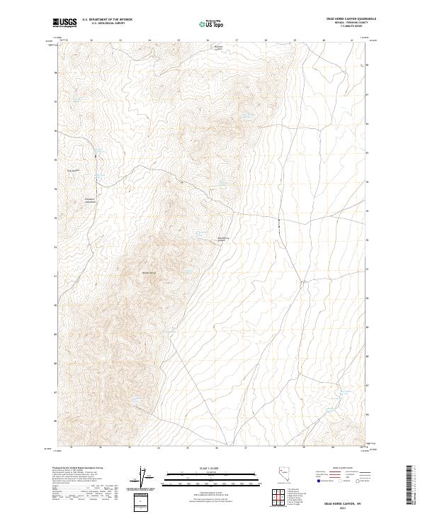
2021 Dead Horse Canyon
Pershing County, NV
2021 Dry Mountain NW
Pershing County, NV
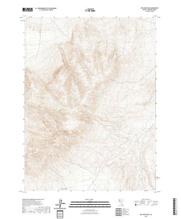
2021 Dry Mountain
Pershing County, NV
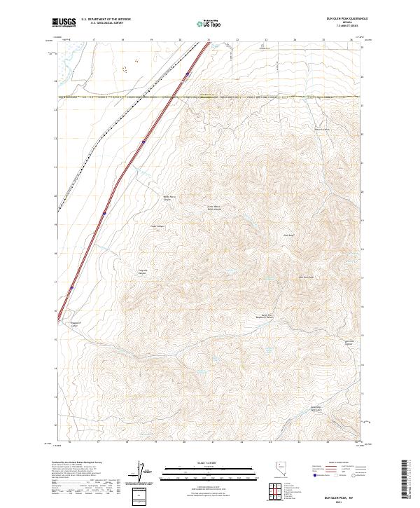
2021 Dun Glen Peak
Pershing County, NV
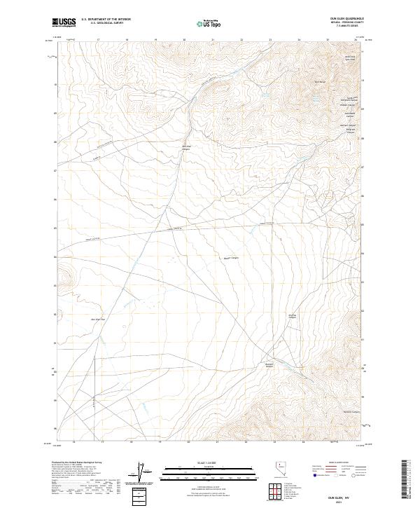
2021 Dun Glen
Pershing County, NV
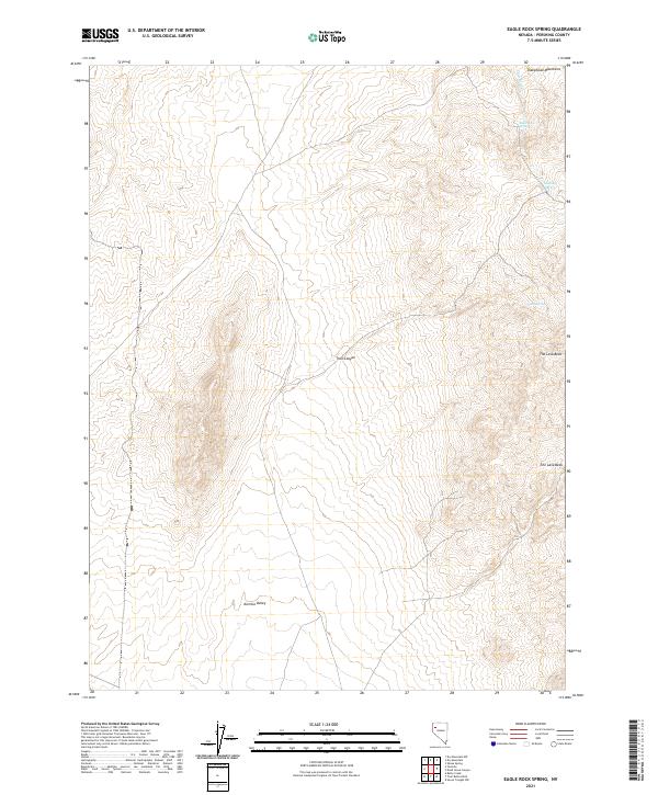
2021 Eagle Rock Spring
Pershing County, NV

2021 Fencemaker Pass
Pershing County, NV
2021 Fisher Canyon
Pershing County, NV
2021 Fitting
Pershing County, NV
2021 Goldbanks Hills
Pershing County, NV
2021 Granite Mountain
Pershing County, NV
2021 Granite Point
Pershing County, NV
2021 Home Station Ranch
Pershing County, NV
2021 Inskip Canyon
Pershing County, NV
2021 Jayhawk Well
Pershing County, NV
2021 Jersey Summit
Pershing County, NV
2021 Juniper Canyon
Pershing County, NV
2021 Juniper Pass
Pershing County, NV
2021 Kennedy Canyon
Pershing County, NV
2021 Kyle Hot Springs
Pershing County, NV
2021 Kyle Hot Springs SW
Pershing County, NV
2021 Leach Hot Springs
Pershing County, NV
2021 Lee Peak
Pershing County, NV
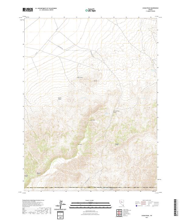
2021 Logan Peak
Pershing County, NV
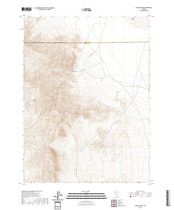
2021 Long Canyon
Pershing County, NV
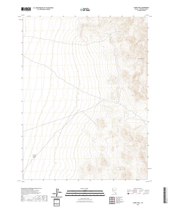
2021 Lowry Well
Pershing County, NV
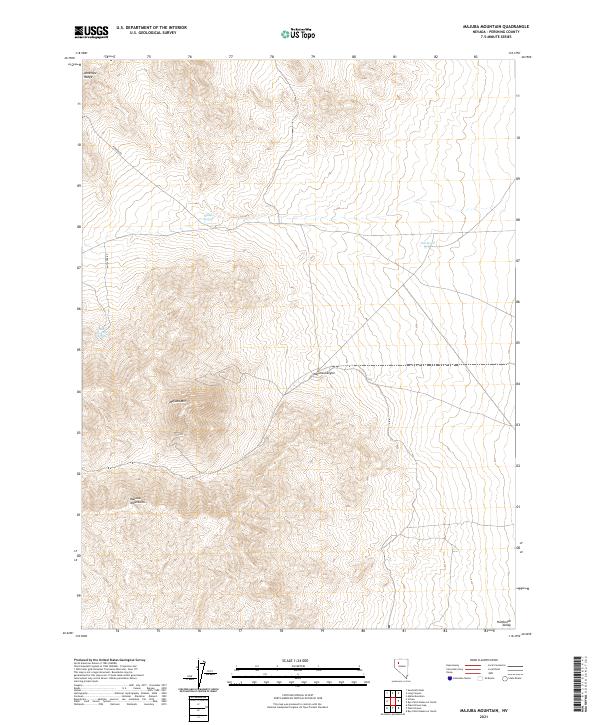
2021 Majuba Mountain
Pershing County, NV
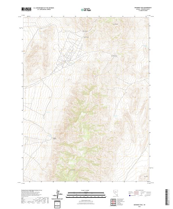
2021 McKinney Pass
Pershing County, NV
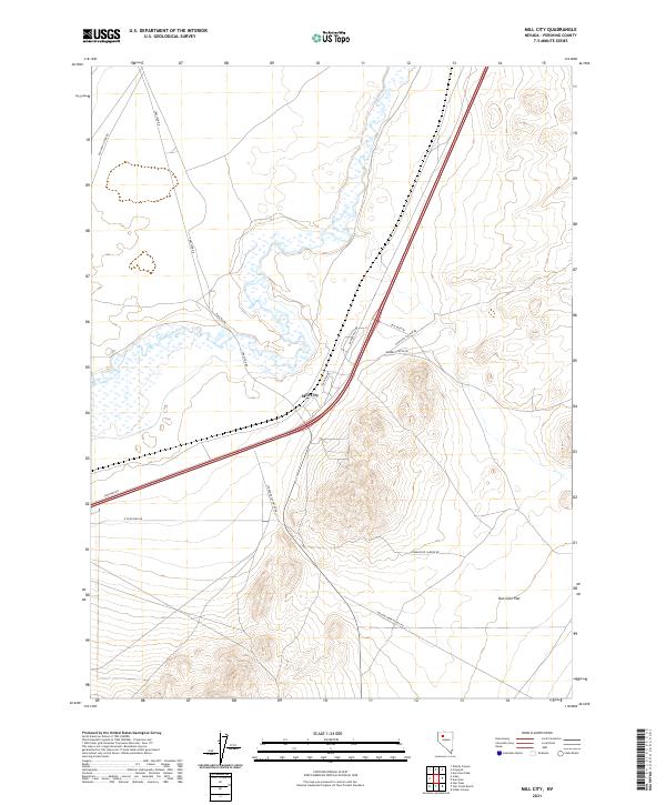
2021 Mill City
Pershing County, NV
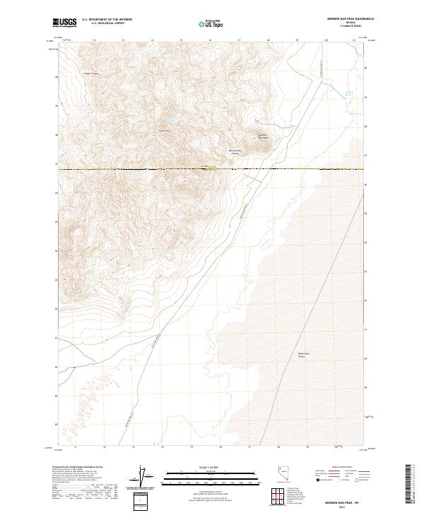
2021 Mormon Dan Peak
Pershing County, NV
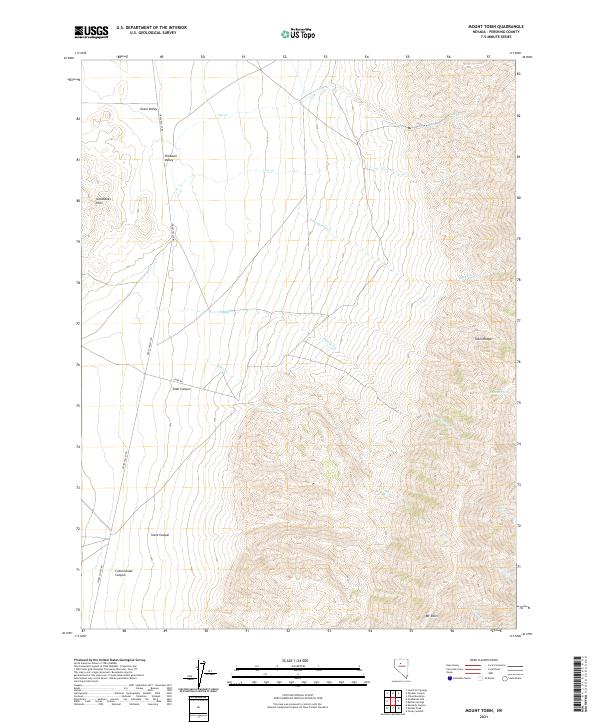
2021 Mount Tobin
Pershing County, NV
2021 Natchez Pass
Pershing County, NV
2021 Natchez Spring
Pershing County, NV
2021 Needle Peak
Pershing County, NV
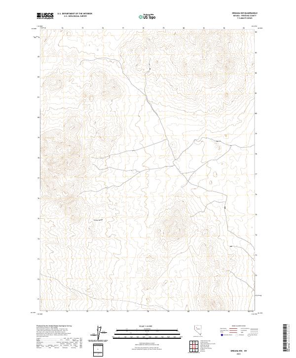
2021 Oreana NW
Pershing County, NV
2021 Oreana
Pershing County, NV
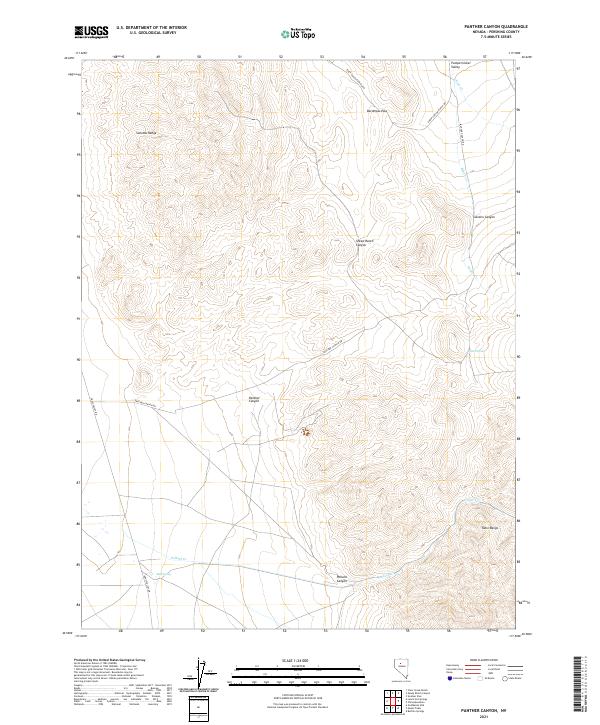
2021 Panther Canyon
Pershing County, NV
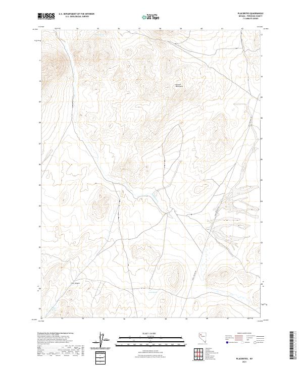
2021 Placerites
Pershing County, NV
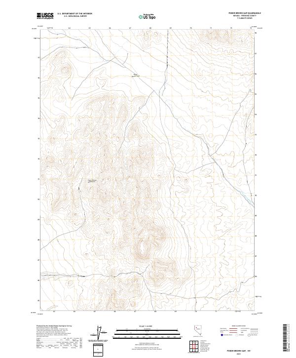
2021 Poker Brown Gap
Pershing County, NV
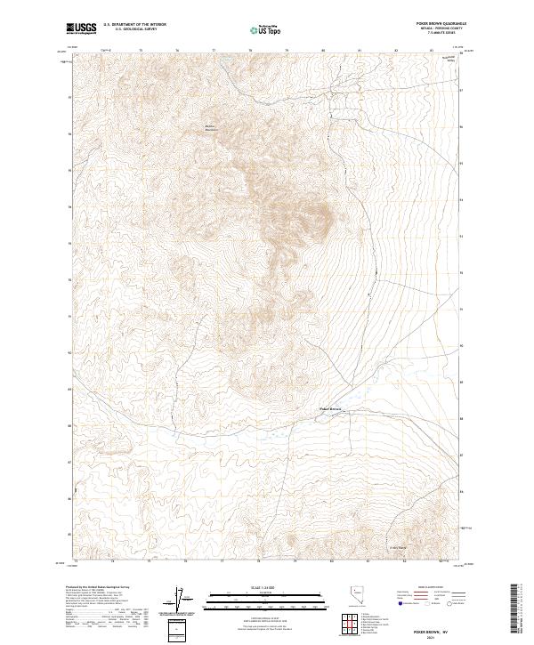
2021 Poker Brown
Pershing County, NV
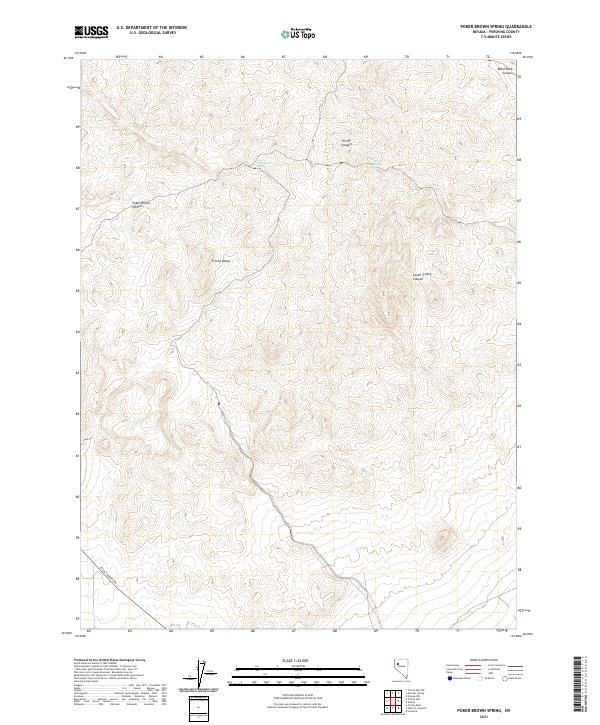
2021 Poker Brown Spring
Pershing County, NV
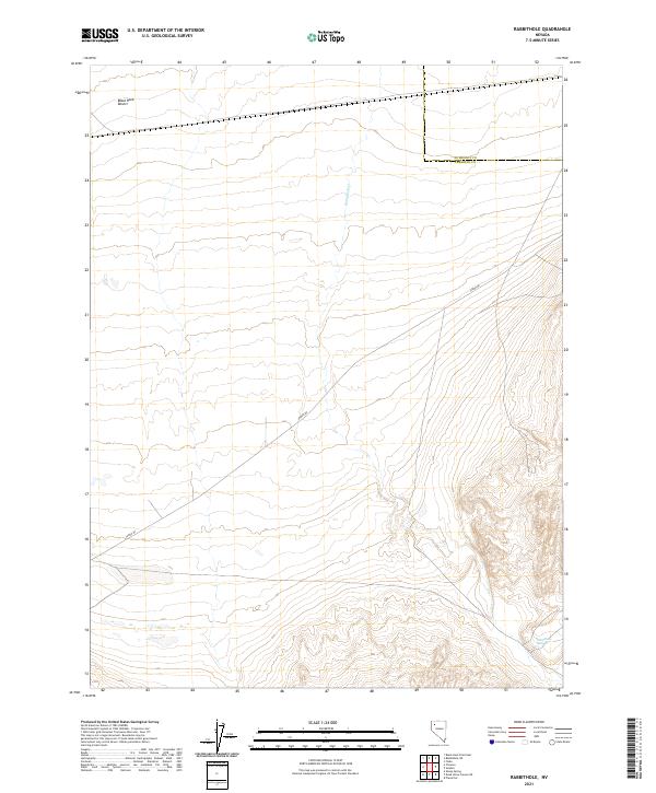
2021 Rabbithole
Pershing County, NV
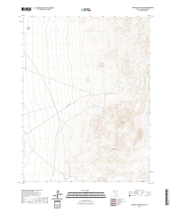
2021 Ragged Top Mountain
Pershing County, NV
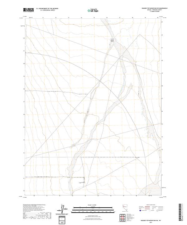
2021 Ragged Top Mountain SW
Pershing County, NV
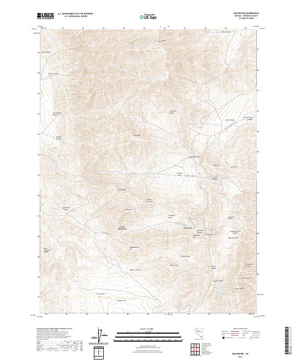
2021 Rochester
Pershing County, NV
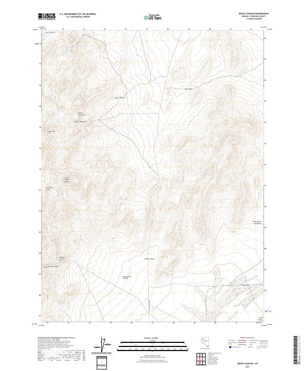
2021 Rocky Canyon
Pershing County, NV
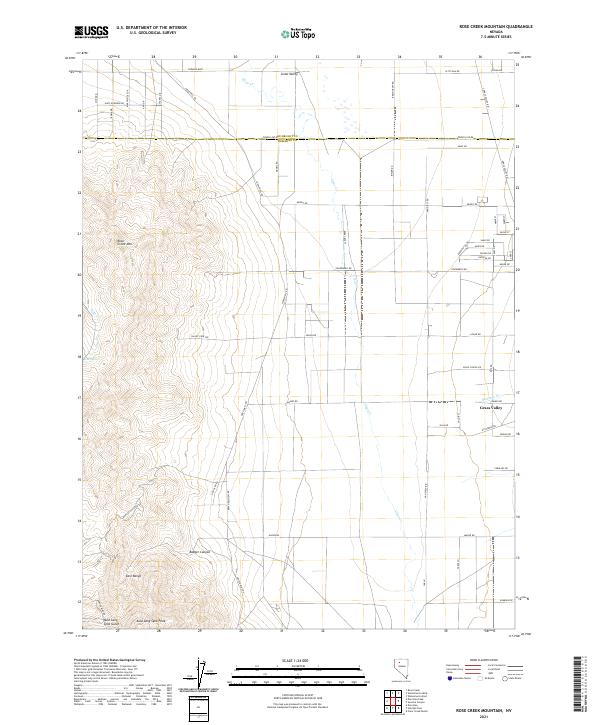
2021 Rose Creek Mountain
Pershing County, NV
2021 Rye Patch Dam
Pershing County, NV
2021 Rye Patch Reservoir North
Pershing County, NV
2021 Rye Patch Reservoir South
Pershing County, NV
2021 Sage Hen Spring
Pershing County, NV
2021 Sawtooth Knob
Pershing County, NV
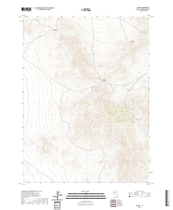
2021 Scossa
Pershing County, NV
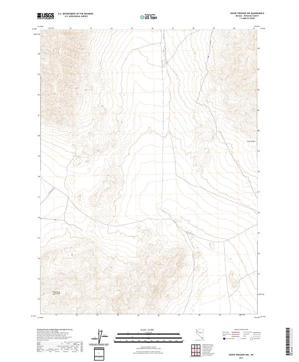
2021 Seven Troughs NW
Pershing County, NV
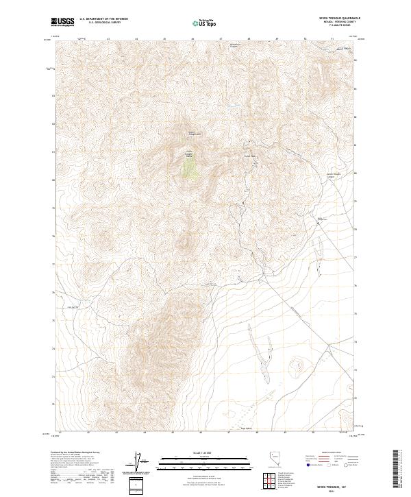
2021 Seven Troughs
Pershing County, NV
2021 Seven Troughs SE
Pershing County, NV
2021 Sheep Spring
Pershing County, NV
2021 Sonoma Canyon
Pershing County, NV
2021 Sou Hills
Pershing County, NV
2021 Star Creek Ranch
Pershing County, NV
2021 Star Peak
Pershing County, NV
2021 Sulphur
Pershing County, NV
2021 Tenmile
Pershing County, NV
2021 Tohakum Peak NE
Pershing County, NV
2021 Tohakum Peak SE
Pershing County, NV
2021 Toulon Peak
Pershing County, NV
2021 Trego Hot Springs
Pershing County, NV
2021 Trego
Pershing County, NV
2021 Trinity Pass NW
Pershing County, NV
2021 Trinity Pass
Pershing County, NV
2021 Trinity Peak
Pershing County, NV
2021 Tunnel Spring
Pershing County, NV
2021 Twin Buttes Well
Pershing County, NV
2021 West of Lovelock
Pershing County, NV
2021 West of McKinney Pass
Pershing County, NV
2021 Wildhorse Pass
Pershing County, NV
2021 Wildhorse Spring
Pershing County, NV
2021 Woody Canyon
Pershing County, NV
2023 Goldbanks Hills
Pershing County, NV
2023 Jersey Summit
Pershing County, NV
2023 Sou Hot Springs
Pershing County, NV