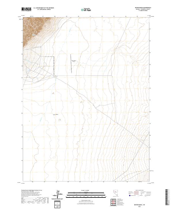
2021 Map of Boyer Ranch
USGS Topo · Published 2021About this map
Dixie Valley serves as the central focal point of this arid basin, a landscape shaped by intermittent water and geothermal activity. The northern section of the valley floor contains the Dixie Valley Airport, providing a critical landing strip in this isolated region of Churchill County. To the northwest, the elevation rises sharply toward the Stillwater Range, where the geothermal features of the Senator Fumaroles highlight the area's active tectonic nature. Drainage is primarily defined by the seasonal flow of Spring Cr and Cottonwood Cr, which descend from the western heights toward the valley floor. The map illustrates a high-desert environment where sparse infrastructure and natural water sources dictate the patterns of human activity and land use in this part of Nevada.
Find a feature on this map
14 named features on this map. Tap any name to fly to it.
Don’t see what you’re looking for? This feature index may not catch every label — zoom into the map to look around manually.
Map Details
Editions of this 2021 Boyer Ranch Map
This is the sole edition of this map. No revisions or reprints were ever made.
Other maps of this area

1932 · Sonoma Range
USGS Topo · 1:250,000

1939 · Sonoma Range
USGS Topo · 1:250,000

1955 · Millett
USGS Topo · 1:250,000

1955 · Winnemucca
USGS Topo · 1:250,000

1958 · Winnemucca
USGS Topo · 1:250,000

1959 · Millett
USGS Topo · 1:250,000

1961 · Cain Mountain
USGS Topo · 1:62,500

1961 · Fencemaker
USGS Topo · 1:62,500

1962 · Winnemucca
USGS Topo · 1:250,000

1966 · Humboldt Salt Marsh
USGS Topo · 1:62,500